Veronica Roodt

Veronica Roodt
Veronica Roodt ist südafrikanische Autorin und Kartografin.
Die südafrikanische Autorin Veronica Roodt wurde in Pretoria geboren und aufgezogen. Schon früh entdeckte sie ihre praktische Naturverbundenheit und arbeitete während Ihrer Semesterferien als Tourguide in Botswana. Nur kurze Zeit arbeitete sie ab 1981 als Mathematiklehrerin an einer Johannesburger Schule, als sie ihrer Sehnsucht nach einem anderen Leben nachgab, im Staatsdienst kündigte und sich als Tourguide im Krüger Nationalpark bewarb. Während dreier Jahre unterwegs im afrikanischen Bush kam sie zu der Überzeugung, nun den richtigen Weg eingeschlagen zu haben. Sie setze ihr Studium in den Bereichen Botanik und Zoologie fort und trat, nach dem Abschluß im Jahr 1986, der South African Defence Force SDAF bei, wurde als Biologin im Caprivi eingesetzt, um, für die Herausgabe eines Überlebens-Handbuches, Informationen über Heilpflanzen bei den dortigen Bewohnern, besonders bei den Buschmännern, zu sammeln. 1988, nach Ablauf ihrer Verpflichtungszeit, erhielt sie einen Studienauftrag über das Freß- und Zugverhalten von Pflanzenfressern im Okavangodelta. Was für 18 Monate projektiert wurde, dehnte sich auf 16 Jahre aus, in denen Zelt und Wohnwagen ihr Zuhause waren. Zu ihren Aufgaben gehörte auch die Erstellung einer Vegetationskarte und einer Bestimmungskartei der Pflanzen im Okanvango-Delta.
Zu dieser Zeit war die Auswahl brauchbarer, vor allem aktueller Landkarten und Reiseführer für Botswana recht gering und brachte ihr einen weiteren Regierungsauftrag ein. Bei ihren endlosen Fahrten durch Botswana sammelte sie die dafür benötigten Daten und Informationen. Die Ölfirma Shell sponserte dieses Projekt und verlieh den heute so bekannten Karten und Reiseführern von Botswana und seinen Regionen den Namen: Shell Maps und Shell Guides of Botswana. Auch für die aktuellen Auflagen der Karten und Reiseführer trägt sie nach wie vor die Daten noch selbst und vor Ort zusammen. Zwischen 1999 und 2003 unternahm sie zahlreiche Reisen in das Ngorongoro Conservation Area in Tansania, um dort Informationen und Kartendaten für weitere Reiseführerprojekte und eine Ostafrika-Kartenserie zu sammeln.
Ihre umfangreichen naturkundlichen und kartografischen Publikationen sind allesamt aus Ihrer Bereitschaft, vor Ort und über lange Zeiträume fernab der Zivilisation zu recherchieren, in der bekannten Qualität entstanden. Nach 16 Jahren wurde es Zeit für neue Aufgaben, die Veronica Roodt in Tansania fand. Nach jeweils drei Monaten in der Serengeti und der Ngorongoro Conservation Area waren diese in vergleichsweise kurzer Zeit abgeschlossen und im Laufe des Jahres 2004 veröffentlichte sie zwei weitere Bücher und Karten. Die Verwaltung der Ngorongoro Conservation Area nahm Veronica Roodts Reiseführer und Karte des Gebietes als offizielle Ausgaben an, diese tragen seitdem das offizielle Logo. Anläßlich der Projektierung eines Reiseführers und weiterer Regionalkarten für Tarangire National Park, Lake Manyara National Park, Arusha National Park, Arusha City und Sansibar, folgte ein weiterer Aufenthalt in Tansania im Jahr 2006.
Im Jahr darauf wurde sie von der Verwaltung des Tansania Nationalparks, Tanapa, mit der Herstellung weiterer Karten für den Serengeti National Park, Lake Manyara National Park, Tarangire National Park, Arusha National Park und dem Kilimanjaro National Park beauftragt. Nach der Veröffentlichung dieser Karten, erhielt sie einen erneuten Regierungsauftrag zur Katalogisierung der Fauna und Flora in den Nationalparks und Wildschutzgebieten Botswanas. Auch eine weitere Neuauflage der offiziellen Natur- und Reiseführer und Landkarten war damit für sie verbunden. Seit 2010 arbeitet sie an einer neuen Karte und an einem Reisführer für den Krüger National Park und für Pilansberg und ist, natürlich, im Bush unterwegs.
Literaturauszüge:
Roodt, Veronica im Namibiana-Buchangebot
Moremi Game Reserve, Okavango Delta: All-in-one Map & Guide Book
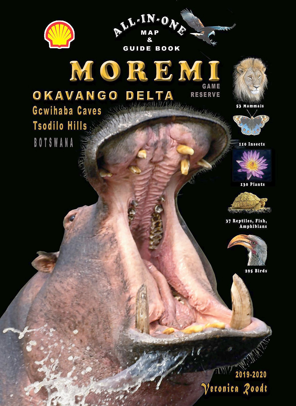
Covering the Okavango Delta, Moremi Game Reserve, Tsodilo Hills and Gcwihaba Caves (Drotsky's Caves) this is a great all-in-one map & guide book.
Tourist Map of the Serengeti National Park
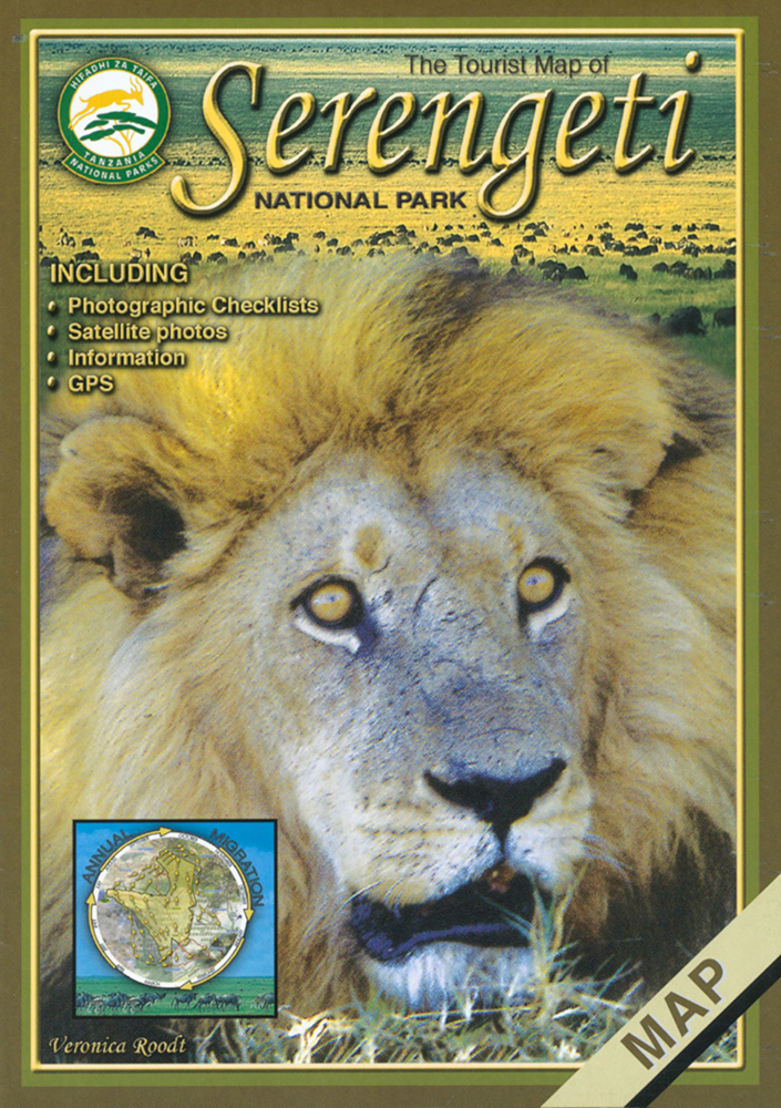
Die Tourist Map of Serengeti National Park ist auf Grundlage von Satellitenbildern erstellt und bietet sieben weitere Ausschnittskarten des Serengeti-Nationalparks.
Grasses & grazers of Botswana and the surrounding savanna
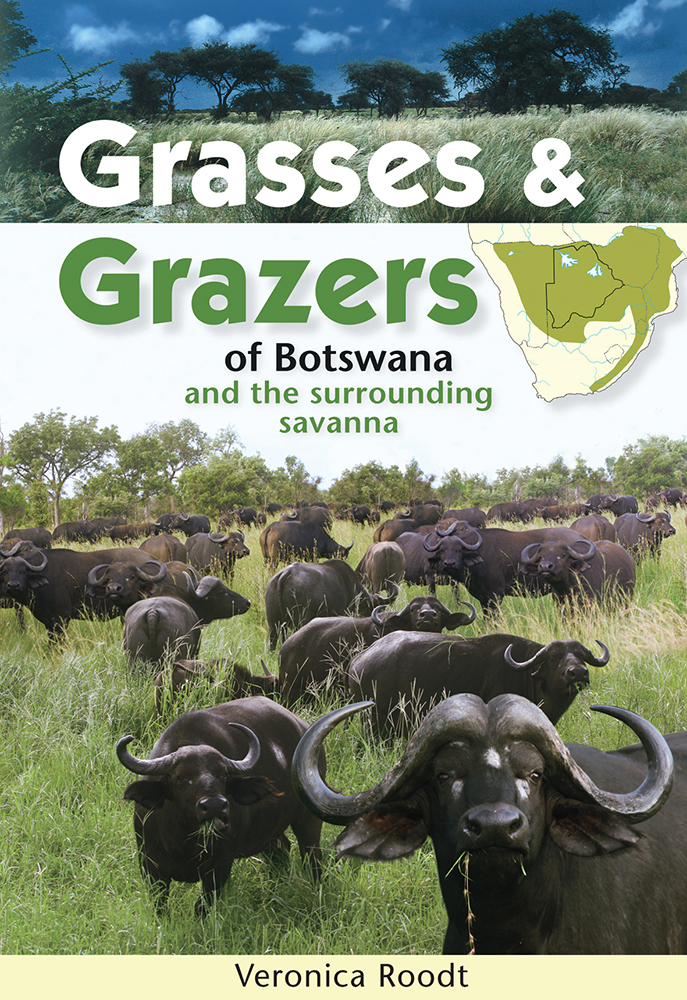
Grasses and Grazers of Botswana and the surrounding savanna is a guide to 100 grass species and to the grazers that feed on them.
Set of five Shell maps and The Shell Tourist Travel and Field Guide of Botswana
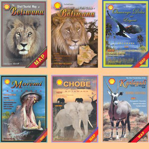
This perfect set includes five Shell maps to all regions of Botswana and The Shell Tourist Travel and Field Guide of Botswana.
Shell-Karten von Botswana / Shell maps of Botswana
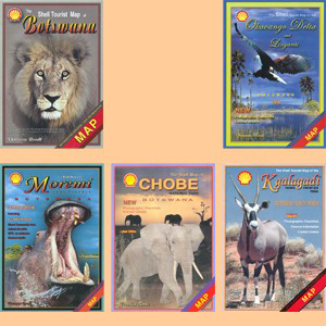
Dieser Satz Shell-Karten von Botswana umfaßt die Hauptkarte von Botswana und je eine Karte von Chobe, Moremi, Okavango und Linyanti sowie vom Kgalagadi Transfrontier Park.
Mammals of Botswana and surrounding areas
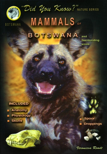
This is a easy-to-use guidebook to mammals of Botswana and surrounding areas including information on anatomy, physiology, skulls, spoors and droppings.
Mammals of the Kruger National Park and surrounding Bushveld
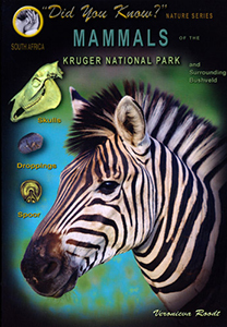
This is a easy-to-use guidebook to mammals of Kruger National Park and surrounding Bushveld including information on skulls, spoors and droppings.
Wild flowers, waterplants and grasses of the Okavango Delta and Kalahari
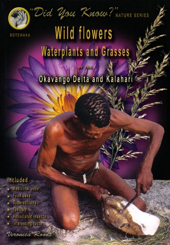
Includes all the common herbaceous (nonwoody) plants, wild flowers, waterplants and grasses of the Okavango Delta, Chobe, Makgadikgadi pans and the Kalahari.
Grasses of the Kruger National Park and surrounding Bushveld
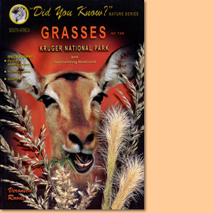
Expert Veronica Roodt introduces grasses of the Kruger National Park and the surrounding Bushveld.
Tourist Map of Lake Manyara National Park
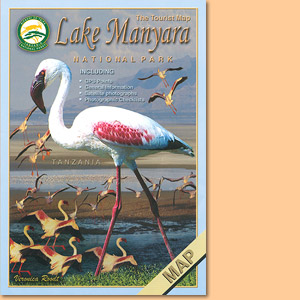
Wie alle Karten aus der Serie von Veronica Roodt, basiert auch die Tourist Map of the National Park Lake Manyara auf Satellitenaufnahmen.
Tourist Map of Tarangire National Park
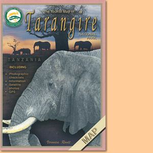
Die Tourist Map of Tarangire National Park in Tansania stammt aus der Ostafrika-Kartenserie von Veronica Rood.
Tourist Map of Arusha National Park
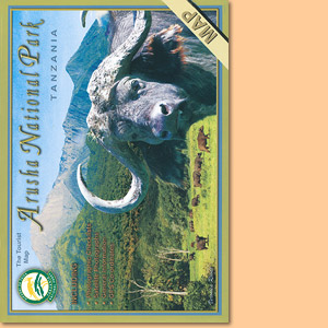
Veronica Rood hat mit der Tourist Map of Arusha National Park eine beliebte und gut zu lesende Karte geschaffen.
Tourist Map of Kilimanjaro National Park
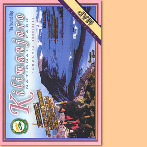
Veronica Roodt’s Tourist Map of Kilimanjaro National Park ist auf Satellitenaufnahmen aufgebaut und mit einem kräftigen, gut lesbaren Kartendesign versehen.
Tourist Map of the Ngorongoro Conservation Area
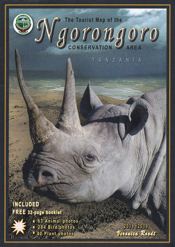
Die Tourist Map of the Ngorongoro Conservation Area ist mit Satellitenbildern hinterlegt und mit kräftigen Kartenmerkmalen versehen.
The tourist travel and field guide of the Ngorongoro Conservation Area
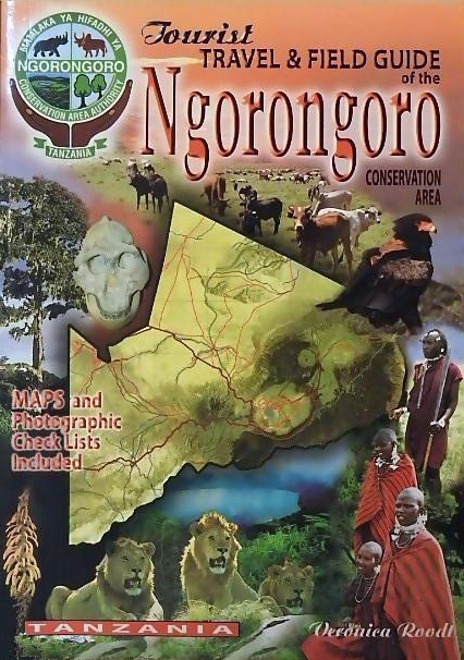
Veronica Roodt’s travel and field guide of Ngorongoro Conservation Area is made for tourists seeking for nature impressions.
The Tourist Travel and Field Guide of the Serengeti National Park
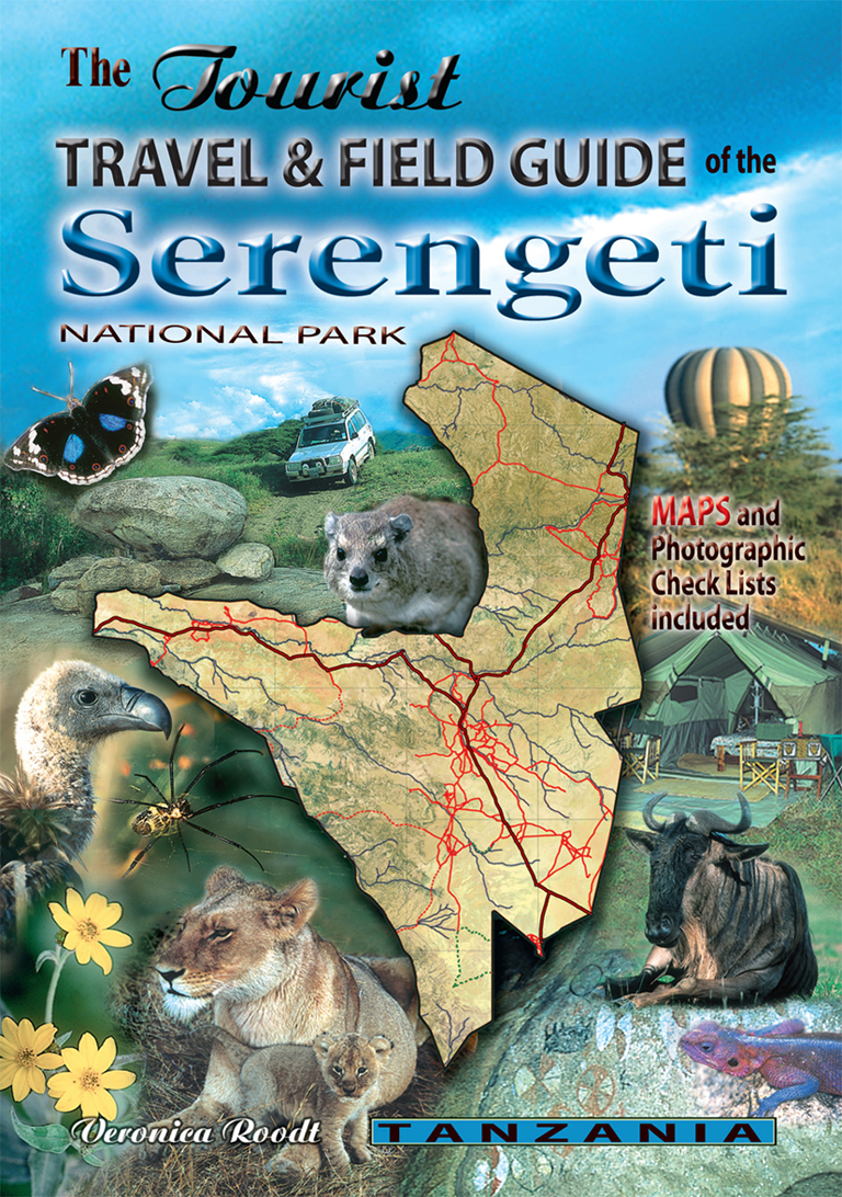
Veronica Roodt’s travel and field guide of the Serengeti National Park is consequently designed for tourists with an interest for Nature.
The Shell Tourist Map of Botswana
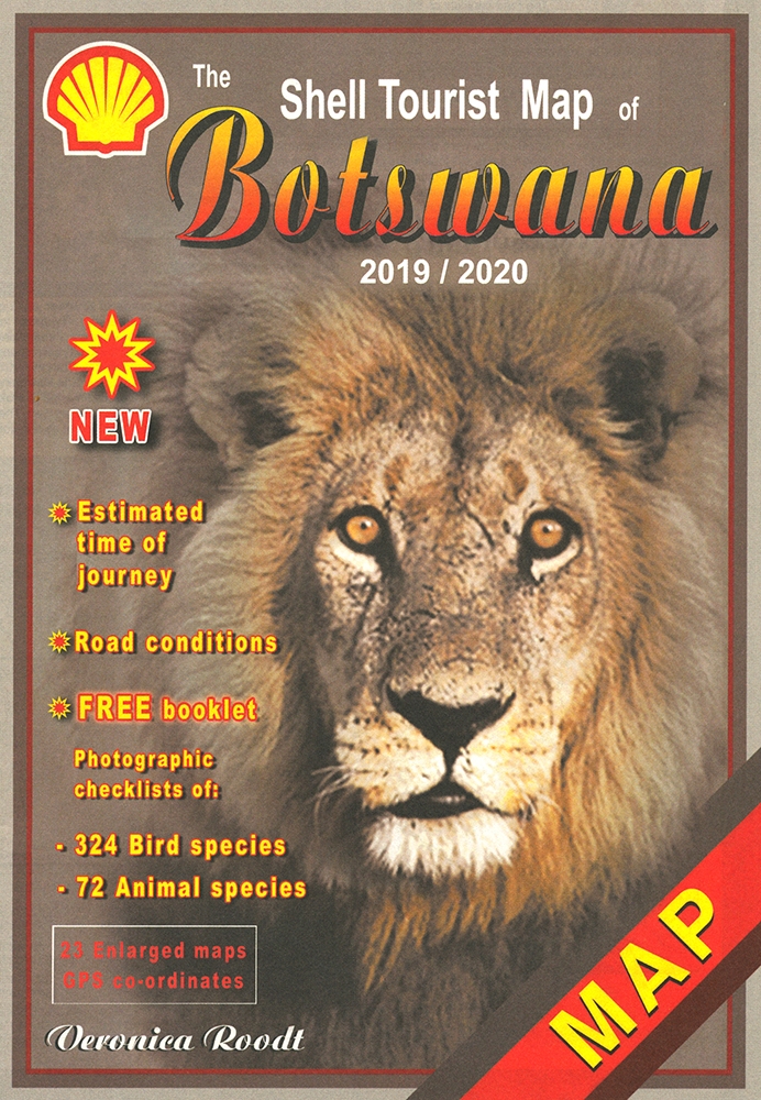
Die Shell Tourist Map of Botswana ist eine über viele Jahre ausgreifte, sehr zuverlässige Karte für den Urlaub in Botswana.
Common Wild Flowers of the Okavango Delta
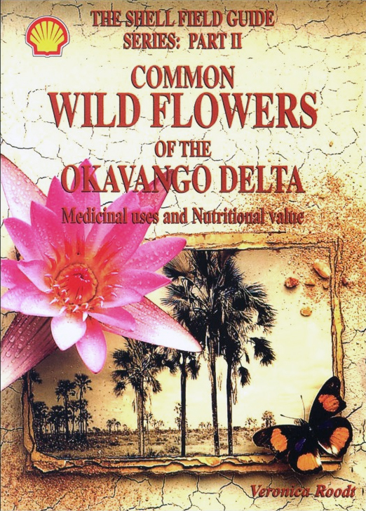
Common Wild Flowers of the Okavango Delta is not only an identification Guide but also explains their medicinal uses and nutritional value.
Trees and Shrubs of the Okavango Delta. Medicinal uses and nutritional value
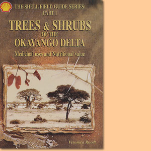
Trees and Shrubs of the Okavango Delta is not only an identification Guide but also explains their medicinal uses and nutritional value.
The Shell Tourist Map of Okavango Delta and Linyanti
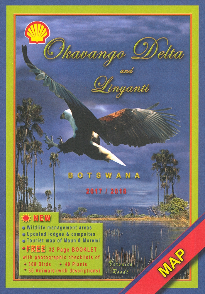
The Shell Tourist Map of Okavango Delta and Linyanti stellt die Region im Maßstab 1:400.000 und auf der Grundlage von Satellitenbildern dar.
The Shell Tourist Map of Kgalagadi Transfrontier Park
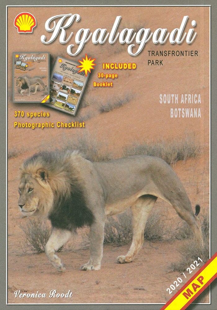
Die Shell Tourist Map of Kgalagadi Transfrontier Park stellt die ehemaligen Gemsbok National Parks in verschiedenen Maßstäben und Karten vor.
The Shell Map of Moremi Game Reserve Botswana
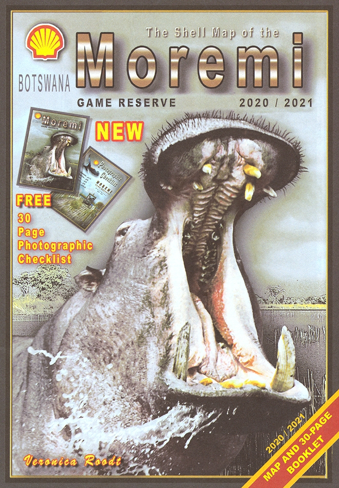
The Shell Map of Moremi Game Reserve ist eine hervorragende Karte des 1963 gegründeten Wildreservat in Botswana.
The Shell Map of Chobe National Park Botswana
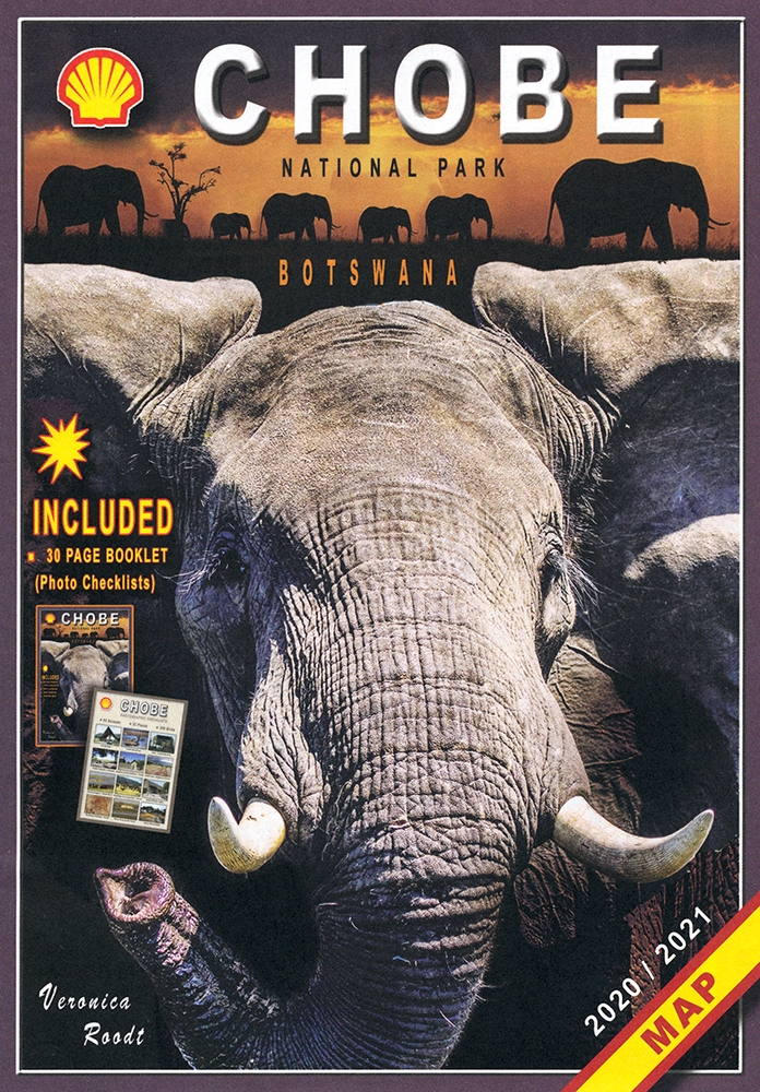
The Shell Map of Chobe National Park ist eine verläßliche Reisekarte für den Chobe-Nationalpark in Botswana.
The Shell Tourist Map of Botswana plus The Shell Tourist Travel and Field Guide of Botswana
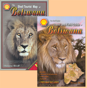
A combination of two reliable and leading products: The Shell Tourist Map of Botswana plus The Shell Tourist Travel and Field Guide of Botswana.