Wild flowers, waterplants and grasses of the Okavango Delta and Kalahari, by Veronica Roodt

Wild flowers, waterplants and grasses of the Okavango Delta and Kalahari, by Veronica Roodt.
This excerpt gives an idea of the style of plant description in the guide Wild flowers, waterplants and grasses of the Okavango Delta and Kalahari written by Veronica Roodt.
The role of Miscanthus in the formation of islands in the Okavango Delta
The waters of the Okavango bring with them a load of detritus and soil particles, which are deposited once the water slows down. It settles on an already decaying layer of vegetation, forming the ideal substrate for the establishment of rooted waterplants such as Waterlilies (Nymphaea caurulea). In the warm summer months micro-organisms become active in this mat of detritus on the floor of the Delta, breaking down the fibrous plant material and causing the production of methane gasses. The process is as follows: Dead plant material containing cellulose is reduced to glucose during the fermentation process and the fermentation of glucose produces carbondioxide. Certain anaerobic bacteria such as Clostridium have the function of reducing carbon dioxide to methane. The gasses get trapped within and cause parts of the mat to become light and aerated, so much so that it eventually floats to the water's surface. Evidence of the gases trapped in the detritus can be seen by the thousands of bubbles that rise to the surface when the water is disturbed. The floating peat mats provide a perfect habitat for the establishment of aquatic plants such as bladderworts and sedges. Micro-organism action is inhibited in winter, resulting in a decrease in gas production, causing the mat to sink. Eventually the mat becomes stabilised with vegetation and remains on the surface. One of the first grass species to establish itself is Pampas grass (Miscanthus junceus). Several peat mats join together to form large stands which often block the water flow and gradually start to dry out to form dry land. This process may be hastened by smouldering underground fires, which are fed by highly combustible methane gasses.
Abrus precatohus L. subsp. africanus Verdc.
CONVOLVULACEAE / FABACEAE
English: Lucky bean or Love bean Setswana: Mophiti
Identification: This is a common climber with purplish, pea-shaped flowers but is usually noticed because of the red 'Lucky bean' seeds and the compound leaves.
Habitat: It occurs in marginal woodland in the Okavango Delta and Chobe where it climbs in trees and large shrubs.
Abortion: A Khwai elder in the Okavango Delta told me that this plant, mixed with a variety of other plants, is a very effective abortifacient. He says it is no longer practised, primarily because the tribe's religion will not allow it. The effect is irritation of the uterus wall, resulting in severe contraction and bleeding, which could cause the foetus to be discarded. The correct dosage is extremely important, since an overdose will almost certainly cause the patient to die.
Cancer: Cell death is caused by enzymes present in the toxal-bumin, abrin, which is present in this plant. Various studies have shown that abrin has therapeutic and inhibitory effects in a variety of cancers in rodents. It was found that these enzymes are more toxic to tumour cells than to normal cells.
Artificial sweetener: The sweetening agent in the roots and leaves was thought by many authors to be glycyrrhizin, but Choi et al (1989) isolated, among other things, four abrusosides as the actual sweetening agents. Tests are currently underway to use the purified abrusosides from the leaves as commercial sweeteners, especially since they lack the toxicity known in glycyrrhizin.
Liquorice substitute: The roots and leaves are very sweet-tasting and have been used since the last century as liquorice substitutes. It is of interest to note that the root and leaves can be ingested without ill effect, yet the red seeds are highly poisonous.
Toxicity: The seed contains an extremely virulent toxalbumin (protein toxin) called abrin, as well as a poisonous acid called abric acid. Snake venom, like abrin, is also a protein toxin and therefore this poison acts partially in the same way as snake venom. Abrin causes red blood cells to agglutinate and this may lead to haemolysis (rupturing of red blood cells). When red blood cells are ruptured, haemoglobin - which is the oxygen-carrying protein - is lost. Furthermore, enzymes in abrin inhibit protein synthesis and cause cell death. The first symptoms to appear are enlargement of the lymphatic glands, loss of appetite, vomiting and diarrhoea. The two latter symptoms are caused by the irritant effect of the toxalbumin on the mucous membranes of smooth muscle, in this case the digestive tract. A similar effect on the smooth muscle of the uterus causes abortion (see above).
This is an example of plant description in the guide: Wild flowers, waterplants and grasses of the Okavango Delta and Kalahari, by Veronica Roodt.
Title: Wild flowers, waterplants and grasses of the Okavango Delta and Kalahari
Author: Veronica Roodt
Veronica Roodt Publications
Hartbeespoort, South Africa 2011
ISBN 978-0-9869926-8-1
Softcover, 17x24 cm, 127 pages, throughout colour photos and images
Roodt, Veronica im Namibiana-Buchangebot
Wild flowers, waterplants and grasses of the Okavango Delta and Kalahari
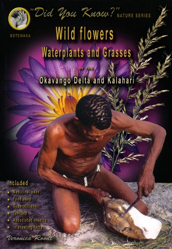
Includes all the common herbaceous (nonwoody) plants, wild flowers, waterplants and grasses of the Okavango Delta, Chobe, Makgadikgadi pans and the Kalahari.
Moremi Game Reserve, Okavango Delta: All-in-one Map & Guide Book
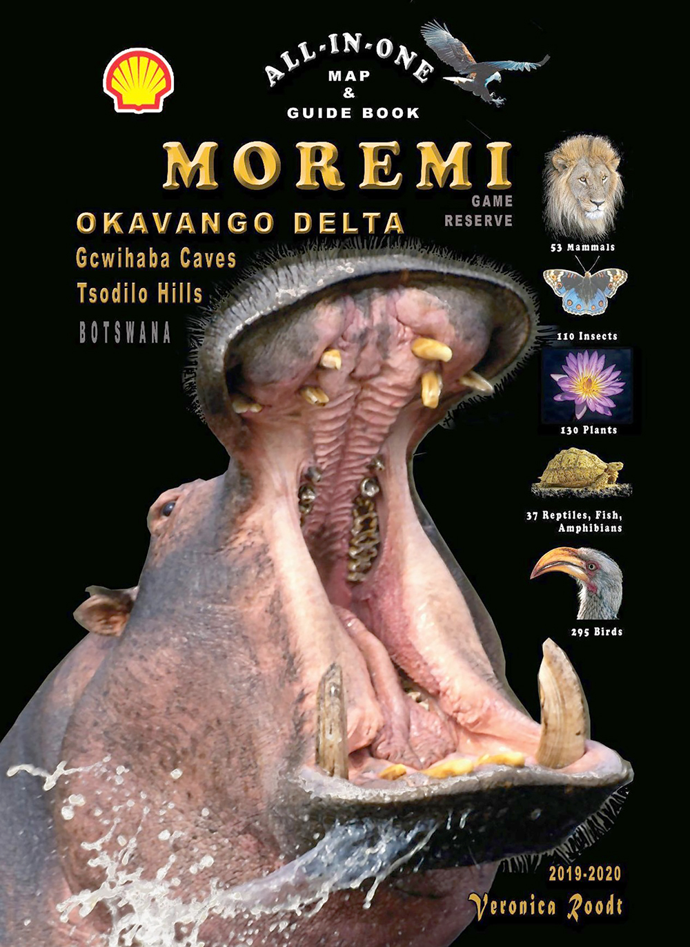
Covering the Okavango Delta, Moremi Game Reserve, Tsodilo Hills and Gcwihaba Caves (Drotsky's Caves) this is a great all-in-one map & guide book.
Tourist Map of the Serengeti National Park
Die Tourist Map of Serengeti National Park ist auf Grundlage von Satellitenbildern erstellt und bietet sieben weitere Ausschnittskarten des Serengeti-Nationalparks.
Grasses & grazers of Botswana and the surrounding savanna
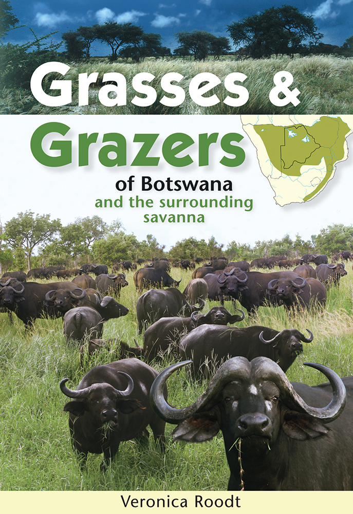
Grasses and Grazers of Botswana and the surrounding savanna is a guide to 100 grass species and to the grazers that feed on them.
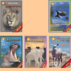
Set of five Shell maps and The Shell Tourist Travel and Field Guide of Botswana
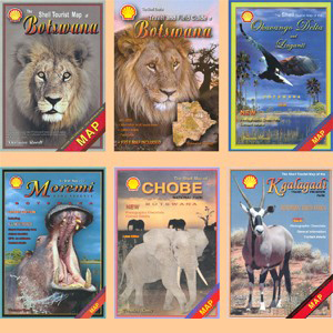
This perfect set includes five Shell maps to all regions of Botswana and The Shell Tourist Travel and Field Guide of Botswana.
Shell-Karten von Botswana / Shell maps of Botswana
Dieser Satz Shell-Karten von Botswana umfaßt die Hauptkarte von Botswana und je eine Karte von Chobe, Moremi, Okavango und Linyanti sowie vom Kgalagadi Transfrontier Park.
Mammals of Botswana and surrounding areas
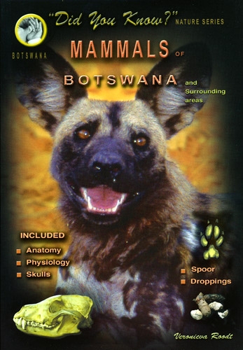
This is a easy-to-use guidebook to mammals of Botswana and surrounding areas including information on anatomy, physiology, skulls, spoors and droppings.
Mammals of the Kruger National Park and surrounding Bushveld
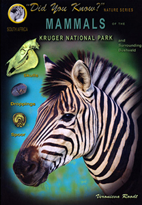
This is a easy-to-use guidebook to mammals of Kruger National Park and surrounding Bushveld including information on skulls, spoors and droppings.
Grasses of the Kruger National Park and surrounding Bushveld
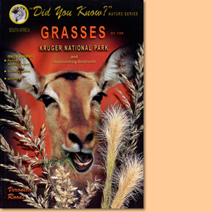
Expert Veronica Roodt introduces grasses of the Kruger National Park and the surrounding Bushveld.
Tourist Map of Lake Manyara National Park
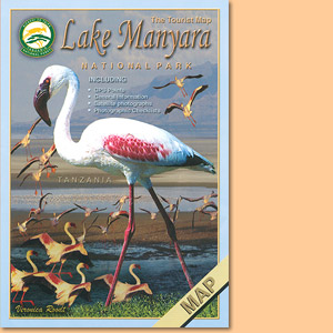
Wie alle Karten aus der Serie von Veronica Roodt, basiert auch die Tourist Map of the National Park Lake Manyara auf Satellitenaufnahmen.
Tourist Map of Tarangire National Park
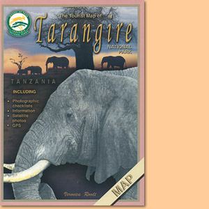
Die Tourist Map of Tarangire National Park in Tansania stammt aus der Ostafrika-Kartenserie von Veronica Rood.
Tourist Map of Arusha National Park
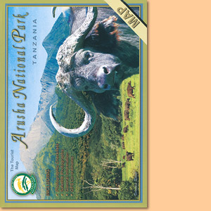
Veronica Rood hat mit der Tourist Map of Arusha National Park eine beliebte und gut zu lesende Karte geschaffen.
Tourist Map of Kilimanjaro National Park
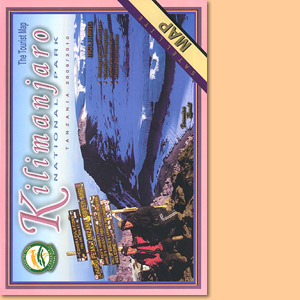
Veronica Roodt’s Tourist Map of Kilimanjaro National Park ist auf Satellitenaufnahmen aufgebaut und mit einem kräftigen, gut lesbaren Kartendesign versehen.
Tourist Map of the Ngorongoro Conservation Area
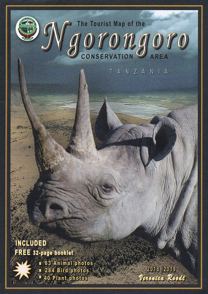
Die Tourist Map of the Ngorongoro Conservation Area ist mit Satellitenbildern hinterlegt und mit kräftigen Kartenmerkmalen versehen.
The tourist travel and field guide of the Ngorongoro Conservation Area
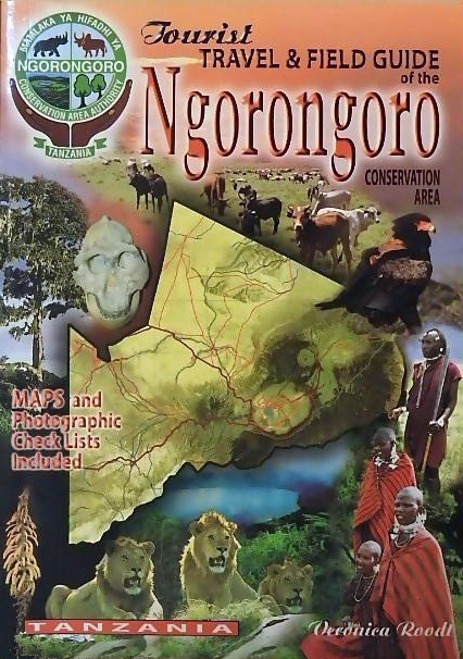
Veronica Roodt’s travel and field guide of Ngorongoro Conservation Area is made for tourists seeking for nature impressions.
The Tourist Travel and Field Guide of the Serengeti National Park
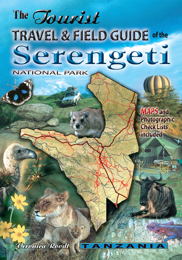
Veronica Roodt’s travel and field guide of the Serengeti National Park is consequently designed for tourists with an interest for Nature.
The Shell Tourist Map of Botswana
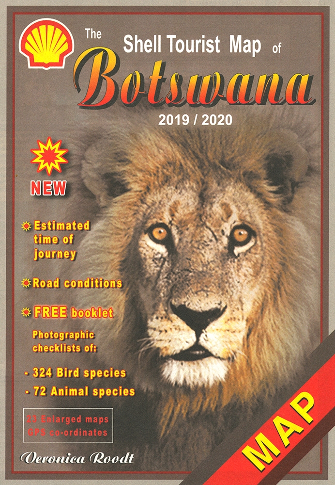
Die Shell Tourist Map of Botswana ist eine über viele Jahre ausgreifte, sehr zuverlässige Karte für den Urlaub in Botswana.
Common Wild Flowers of the Okavango Delta
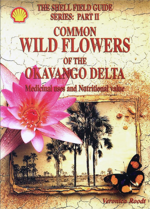
Common Wild Flowers of the Okavango Delta is not only an identification Guide but also explains their medicinal uses and nutritional value.
Trees and Shrubs of the Okavango Delta. Medicinal uses and nutritional value
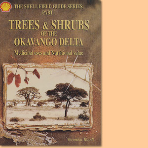
Trees and Shrubs of the Okavango Delta is not only an identification Guide but also explains their medicinal uses and nutritional value.
The Shell Tourist Map of Okavango Delta and Linyanti
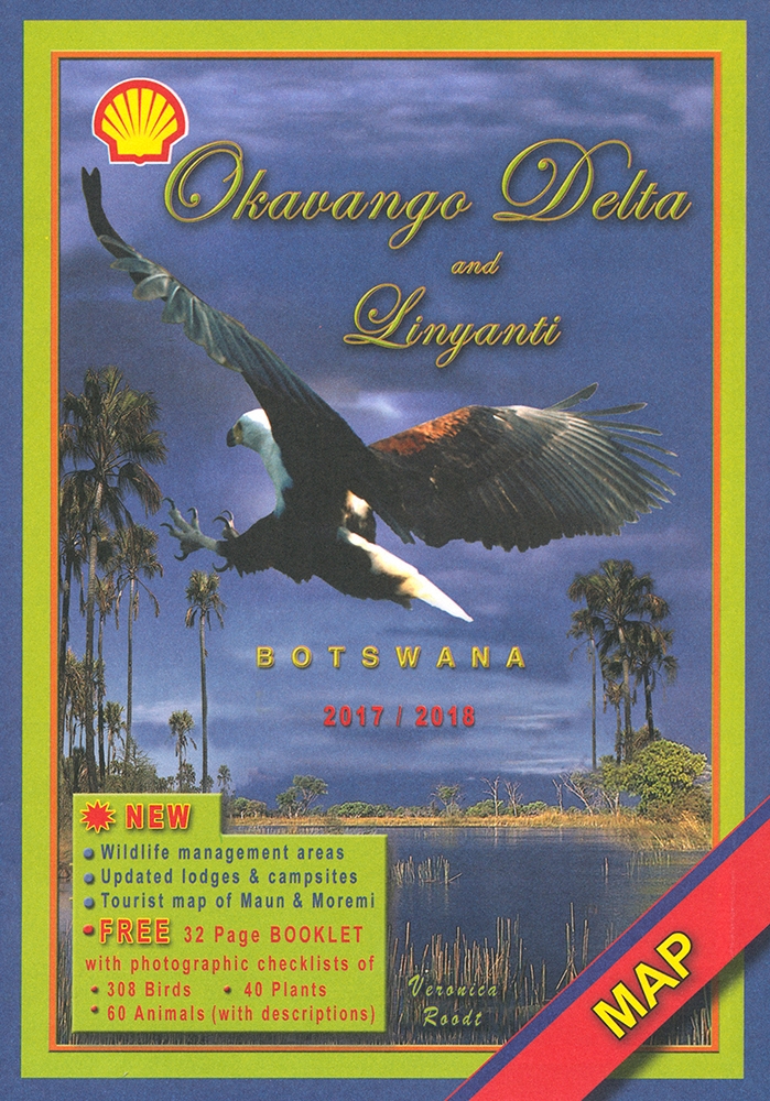
The Shell Tourist Map of Okavango Delta and Linyanti stellt die Region im Maßstab 1:400.000 und auf der Grundlage von Satellitenbildern dar.
The Shell Tourist Map of Kgalagadi Transfrontier Park
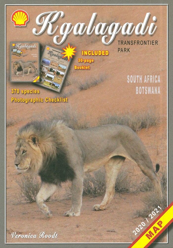
Die Shell Tourist Map of Kgalagadi Transfrontier Park stellt die ehemaligen Gemsbok National Parks in verschiedenen Maßstäben und Karten vor.
The Shell Map of Moremi Game Reserve Botswana
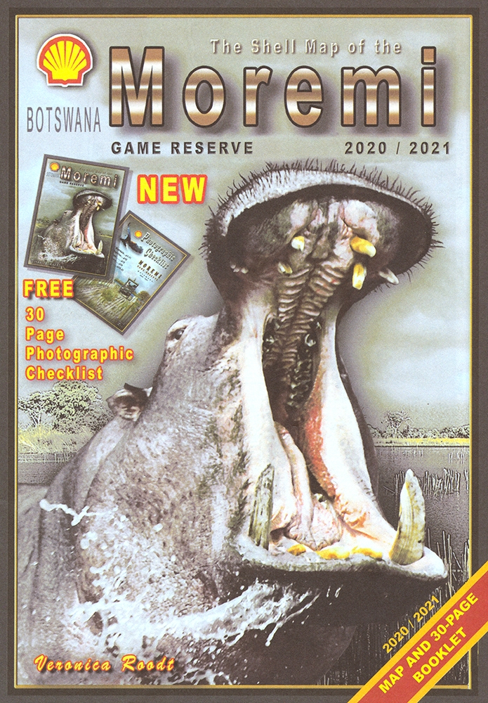
The Shell Map of Moremi Game Reserve ist eine hervorragende Karte des 1963 gegründeten Wildreservat in Botswana.
The Shell Map of Chobe National Park Botswana
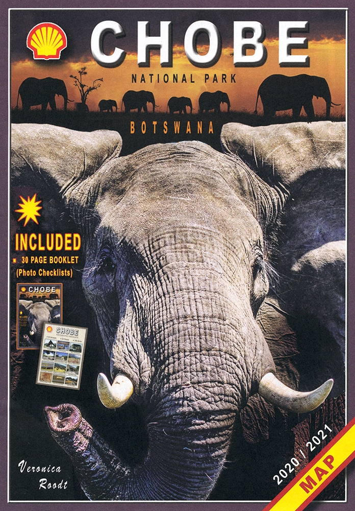
The Shell Map of Chobe National Park ist eine verläßliche Reisekarte für den Chobe-Nationalpark in Botswana.
The Shell Tourist Map of Botswana plus The Shell Tourist Travel and Field Guide of Botswana
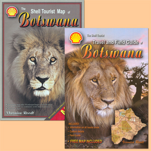
A combination of two reliable and leading products: The Shell Tourist Map of Botswana plus The Shell Tourist Travel and Field Guide of Botswana.