The Shell Tourist Map of Kgalagadi Transfrontier Park, by Veronica Roodt

The Shell Tourist Map of Kgalagadi Transfrontier Park, edition 2021, by Veronica Roodt. 9789991204659 / ISBN 978-9-99-120465-9

The reference map shows the areas covered by the Shell Tourist Map of Kgalagadi Transfrontier Park.

The Shell Tourist Map of Kgalagadi Transfrontier Park, edition 2007, by Veronica Roodt. ISBN 991204652 / ISBN 99912-0-465-2
Along with her well-known and reliable map, The Shell Tourist Map of Kgalagadi Transfrontier Park, cartographer Veronica Roodt gives general and special information on the park as well.
On 7. April 1999 Botswana and South Africa signed a bilateral agreement in which they agreed to manage their adjacent national parks, Gemsbok National Park in Botswana and Kalahari Gemsbok National Park in South Africa, as a single ecological unit to be known as the Kgalagadi Transfrontier Park. The ecological unit has been In existence for more than 50 years, with no barrier to wildlife movements and relatively little human interference. This is the first formally declared Transfrontier Park in southern Africa, but luckily there are plans for more such parks in the future. There is a unified set of regulations for both sides but the management of internal affairs and the development of tourist facilities remain separate. The game-drive routes on the South-African side are mainly in the two river valleys, the Nossob Valley in the north and the Auob Valley further south. The roads are gravelled and accessible by sedan cars. There are three main fenced camps, Twee Rivieren, Mata Mata and Nossob Camp, and they all have small shops, fuel, chalet accommodation and camping. There are also four unfenced wilderness camps called Grootkolk (near Union's End), Kalahari Tented Camp (near Mata Mata), Urikaruus and Kieliekrankie (the latter two are between Mata Mata and Twee Rivieren). Additionally, they have two 4x4 camps, Bitterpan (south-west of Nossob) and Gharagab (near Union's End), both of which can only be reached by a 4x4 vehicle. The Botswana side of the Kgalagadi Transfrontier Park has been maintained in a natural condition as far as possible, and man-made development has been kept to the minimum. Most of the campsites have been established in such a way that their presence is in harmony with nature, without fences or any form of above-ground masonry. In this way visitors are able to enjoy the full wilderness experience. All the roads on the Botswana side strictly require a 4x4 vehicle. There are camps at Mabuasehube, Swartpan area, Kaa Gate, between the Nossob Valley and Mabuasehube and a few along the Nossob Valley. There are special 4x4 Trails on both sides of the border, specifically designed for only one group at a time, thus offering complete exclusivity. (...)
This is an information excerpt from: The Shell Tourist Map of Kgalagadi Transfrontier Park, by Veronica Roodt.
Title: The Shell Tourist Map of Kgalagadi Transfrontier Park, by Veronica Roodt
Scale: 1:800.000 (main map)
Publisher: Veronica Roodt
Series: Shell Oil Botswana
Gaborone, Botswana 2021
ISBN 9991204652 / ISBN 99912-0-465-2
ISBN 9789991204659 / ISBN 978-9-99-120465-9
Folding map, 60x84 cm, both-sided print, English text
Weitere Buchempfehlungen
The Shell Tourist Map of Kgalagadi Transfrontier Park
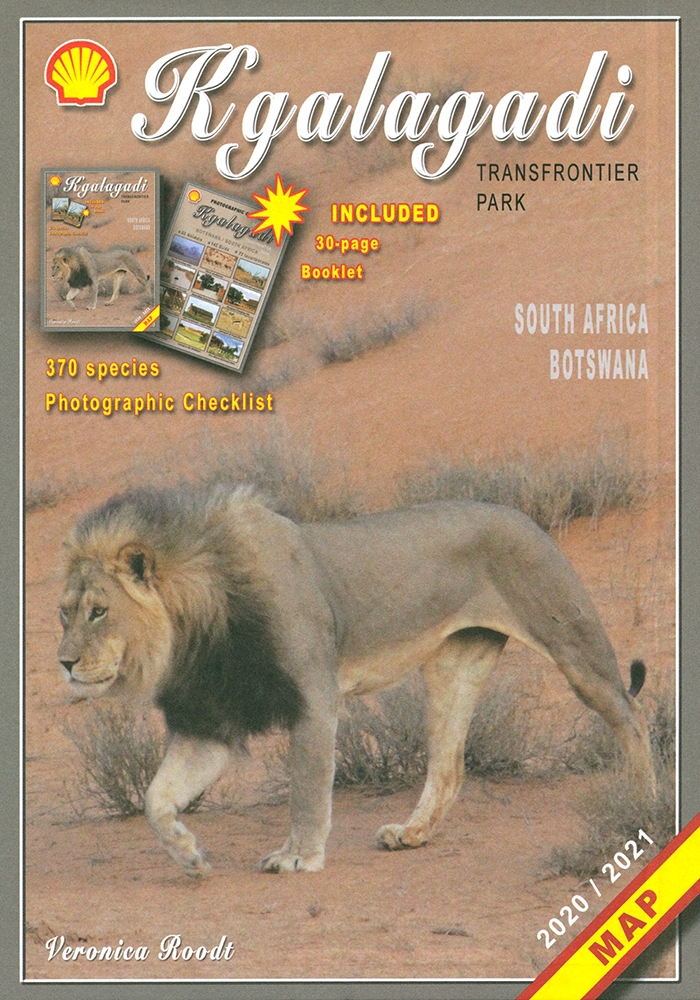
Die Shell Tourist Map of Kgalagadi Transfrontier Park stellt die ehemaligen Gemsbok National Parks in verschiedenen Maßstäben und Karten vor.
The Shell Tourist Map of Botswana
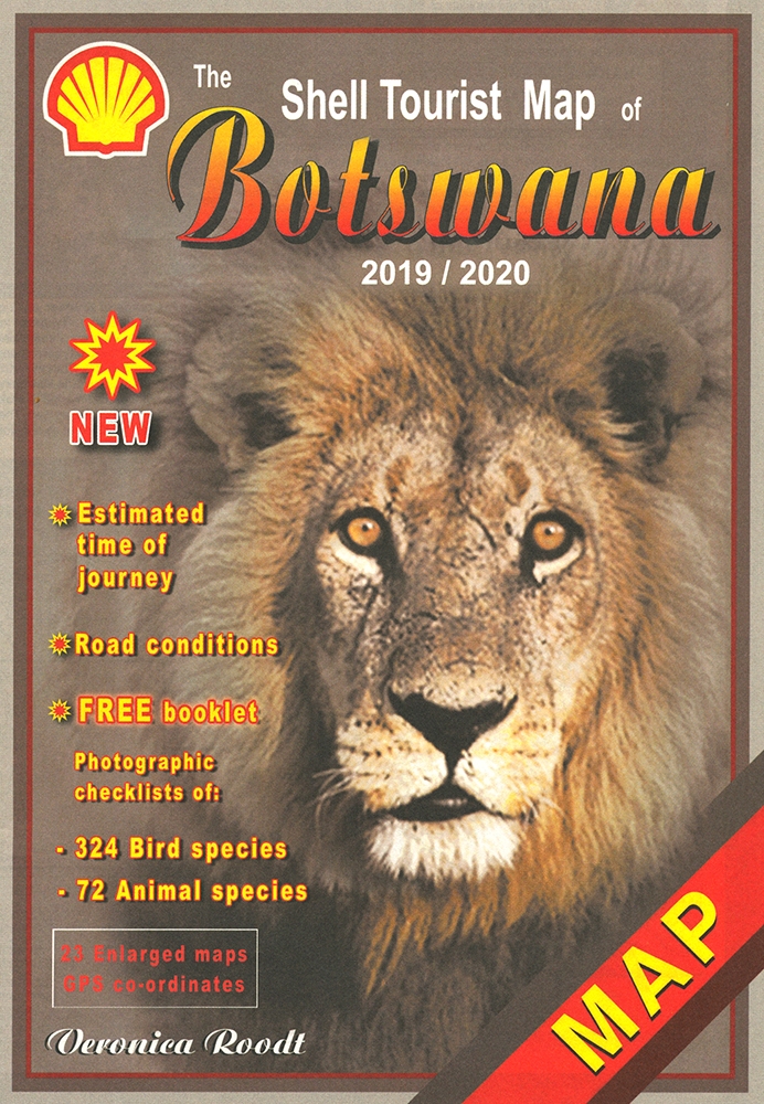
Die Shell Tourist Map of Botswana ist eine über viele Jahre ausgreifte, sehr zuverlässige Karte für den Urlaub in Botswana.
The Shell Map of Moremi Game Reserve Botswana
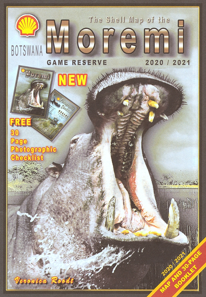
The Shell Map of Moremi Game Reserve ist eine hervorragende Karte des 1963 gegründeten Wildreservat in Botswana.
The Shell Map of Chobe National Park Botswana
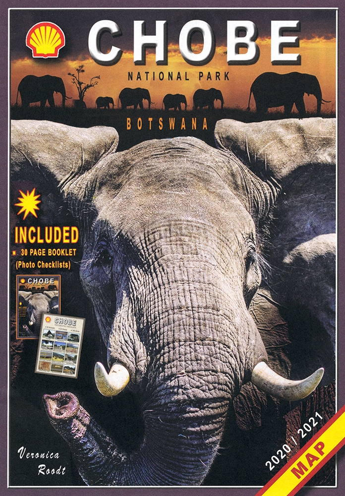
The Shell Map of Chobe National Park ist eine verläßliche Reisekarte für den Chobe-Nationalpark in Botswana.
The Shell Tourist Map of Okavango Delta and Linyanti
The Shell Tourist Map of Okavango Delta and Linyanti stellt die Region im Maßstab 1:400.000 und auf der Grundlage von Satellitenbildern dar.