Set of five Shell maps of Botswana, by Veronica Roodt.
")
The Shell Tourist Map of Botswana (Veronica Roodt)
")
The Shell Tourist Map of the Chobe National Park (Veronica Roodt)
")
The Shell Tourist Map of the Kgalagadi Transfrontier Park (Veronica Roodt)
")
The Shell Tourist Map of the Moremi Game Reserve (Veronica Roodt)
")
The Shell Tourist Map of the Okavango Delta and Linyanti (Veronica Roodt)
This is a money-saving set consisting of the main Shell map of Botswana and the region maps of Chobe, Moremi, Okavango & Linynati and Kgalagadi Transfrontier Park, all mapped by Veronica Roodt.
Example: The Shell Tourist Map of Kgalagadi Transfrontier Park
Border Posts: Tourists are able to move freely across the border within the park. Entry and camping fees on both sides are similar, depending on the exchange rate. There are customs/ immigration border posts at Twee Rivieren (SA), Two Rivers (Botswana) and Mata Mata (Namibia). At Mata Mata there is only a Namibian border post and visitors need to go through the border post at Twee Rivieren or Two Rivers to get into SA or Botswana respectively. If one enters from Namibia at Mata Mata, it is possible to spend the day in the park without reporting at the Twee Rivieren border post. However, if you come in from Namibia, heading to either SA or Botswana, you are required to spend at least two days in the park. This is to prevent the route being used as a transfer route. Locality and size: The Kgalagadi Transfrontier Park is situated in the extreme south-wester corner of Botswana and in the north-western corner of South Africa. The Botswana side comprises 28400 km² and the South African side 9591 km², covering an impressive 37991 km². Road conditions: SA Side The road is currently being tarred from Upington to Twee Rivieren and should be completed in April 2009. All the main routes on the SA side are gravelled, making it possible to travel in a small sedan vehicle. There are two 4x4 routes which can only be accessed by a 4x4 vehicle. Botswana side: All the roads going to the entrance gates and the roads inside the Botswana side of the KTP, strictly require a 4x4 vehicle. Best season to visit Rainy season The rainy season, from December to April, is a wonderful time to visit the Kalahari. The scenery is fantastic with an array of wild flowers, butterflies and birds. Game viewing is not as rewarding as in winter as the animals disperse because of the availability of water in seasonal pans. There is one problem in late summer - grass seeds that clog the vehicle radiators. However, if you take the necessary precautions by tying shade-net on the front fender, it should keep most of the seeds out. Grass seeds are only a problem on the Botswana side as the roads on the South African side are mostly gravelled, with the exception of the wilderness trails and 4x4 routes. [...]
This is information on the Set of five Shell maps of Botswana, by Veronica Roodt.
Title: Set of five Shell maps of Botswana
Scales: diverse
Publisher: Veronica Roodt
Series: Shell Oil Botswana
Gaborone, Botswana
Five folding maps, both-sided colour print, English texts
Weitere Buchempfehlungen
The Shell Tourist Map of Botswana
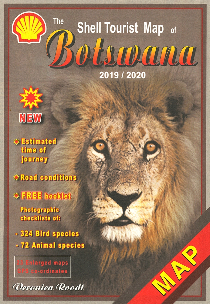
Die Shell Tourist Map of Botswana ist eine über viele Jahre ausgreifte, sehr zuverlässige Karte für den Urlaub in Botswana.
The Shell Map of Chobe National Park Botswana
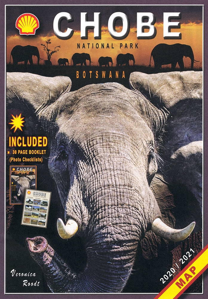
The Shell Map of Chobe National Park ist eine verläßliche Reisekarte für den Chobe-Nationalpark in Botswana.
The Shell Tourist Map of Okavango Delta and Linyanti
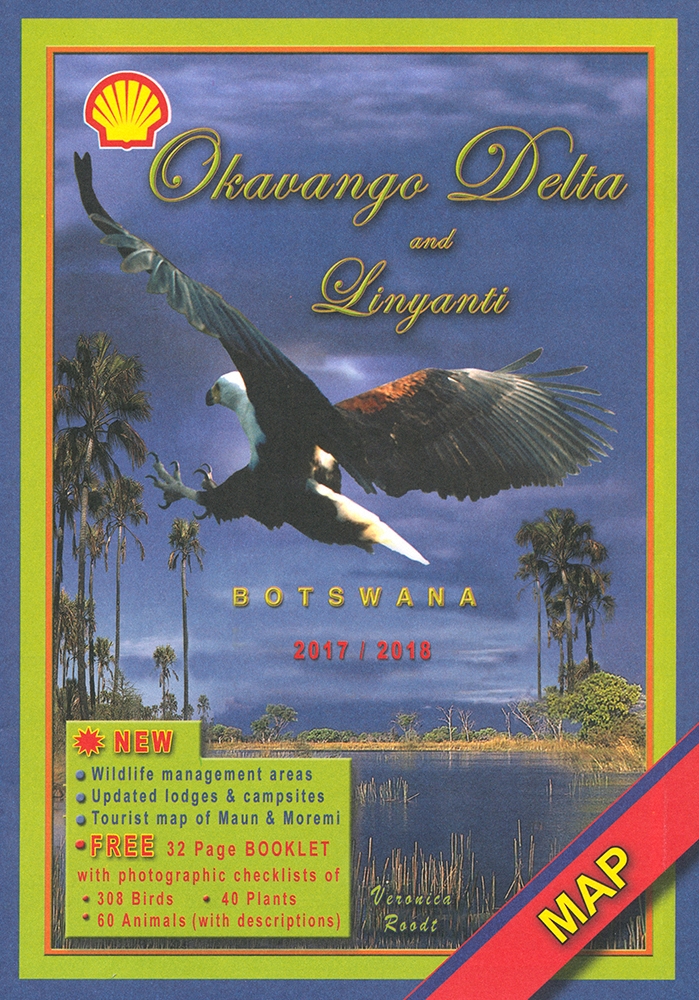
The Shell Tourist Map of Okavango Delta and Linyanti stellt die Region im Maßstab 1:400.000 und auf der Grundlage von Satellitenbildern dar.
The Shell Tourist Map of Kgalagadi Transfrontier Park
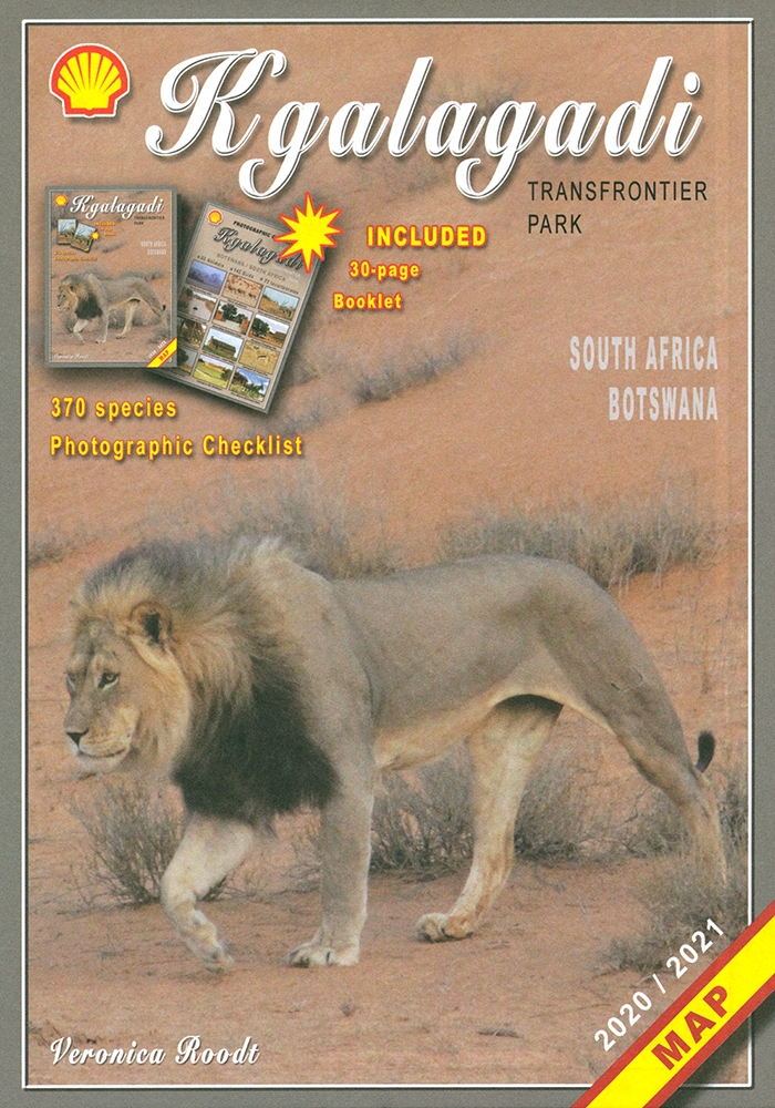
Die Shell Tourist Map of Kgalagadi Transfrontier Park stellt die ehemaligen Gemsbok National Parks in verschiedenen Maßstäben und Karten vor.