Moremi Game Reserve, Okavango Delta: All-in-one Map & Guide Book, by Veronica Roodt and Shell Oil Botswana

Moremi Game Reserve, Okavango Delta: All-in-one Map & Guide Book, by Veronica Roodt and Shell Oil Botswana. 1st edition. Gaborone, Botswana 2019. ISBN 9780639997001 / ISBN 978-0-6399970-0-1
 ISBN 9780639997001 / ISBN 978-0-6399970-0-1")
Moremi Game Reserve, Okavango Delta: All-in-one Map & Guide Book (Veronica Roodt) ISBN 9780639997001 / ISBN 978-0-6399970-0-1
The following text is taken from the the first chapter of Moremi Game Reserve, Okavango Delta: All-in-one Map & Guide Book, by Veronica Roodt and Shell Oil Botswana.
Maun: The Gateway to the Okavango Delta
Botswana is bordered by South Africa, Zimbabwe, Namibia and Zambia. It is situated in the Kalahari basin, which is a 'hollow' about 3000km long filled with sand. So, most of Botswana is indeed covered in sand, making it a semi-desert. However, buried deep beneath the sand within the parent rock, are a wealth of minerals, most importantly a number of kimberlite pipes rich in diamonds. This makes Botswana one of the most prosperous countries in Africa. Besides that, politically Botswana is very stable and the crime rate is low. In my view, the most attractive attribute of Botswana is its people. They are friendly, sincere and very welcoming. Now combine all that with some of the best wildlife and scenery to be enjoyed anywhere in Africa, and you have a country to add to you bucket list! Okavango Delta Of course, the jewel in the crown of this amazing country is the Okavango Delta. Picture hundreds of streams originating in the highlands of Angola some 1000km to the north, all converging to form the tranquil, life-giving force - the Okavango River. This powerful river simply pours itself into the desert sands and seems to disappear. However, certain biological processes have evolved over millions of years to keep the water fresh and sustain a rich ecosystem that far exceeds the expected biomass and diversity of other similar areas. These processes are discussed on p35-37. I invite the reader to join me on a journey to explore and understand the wonders of this rare phenomenon - a delta in a desert - starting with the geological formation, ecological processes, the history, the tourist attractions and the fauna and flora.
Where is the Okavango Delta?
It is in the northeastern corner of Botswana in an area known as Ngamiland. See Map 2 for distances from the major cities in southern Africa to Maun Map 3 for distances from neighbouring countries.
How to get to the Okavango Delta
Maun is the gateway to the Okavango Delta. By air There is an International Airport in Maun with daily flights from Johannesburg in South Africa and from Gaborone. From Maun a chartered flight can be arranged to any of the lodges in the Delta. By road The map on the right supplies all the major access roads to Botswana with distances. The Panhandle and Moremi Game Reserve are the most accessible by vehicle. You can refer to Maps on p6 - p11 to get more details on the routes and the accessibility of camps and lodges. Road conditions: See Map 7, p6 for road conditions along the Panhandle and Map 11, p12 for road conditions in Moremi. [...]
Rules and Regulations of Moremi Game Reserve
Gate hours: March to September 06 hOO-18 h 30, October to February 05 h 30 -19 h 30
Game drive hours: The same as gate hours provided above.
Day visitors: Day visitors are allowed without prior bookings. It is advisable to get to the gate as early as possible.
Confirmation of bookings: Visitors are required to present a confirmation of their booking before occupying their site.
What time to leave the park after overnight stay: When you overnight in the park, it is necessary to be out before or at 11 hOO on day of departure, else payment for another day will be required. [...]
This is an excerpt from Moremi Game Reserve, Okavango Delta: All-in-one Map & Guide Book, by Veronica Roodt and Shell Oil Botswana.
Title: Moremi Game Reserve, Okavango Delta: All-in-one map & guide book
Genre: Travel Guide, Atlas
Publisher: Veronica Roodt and Shell Oil Botswana
Gaborone, Botswana 2019
ISBN 9780639997001 / ISBN 978-0-6399970-0-1
Softcover, 21 x 30 cm, 88 pages, throughout photos, illustrations and 35 maps insets, English text
Roodt, Veronica im Namibiana-Buchangebot
Moremi Game Reserve, Okavango Delta: All-in-one Map & Guide Book
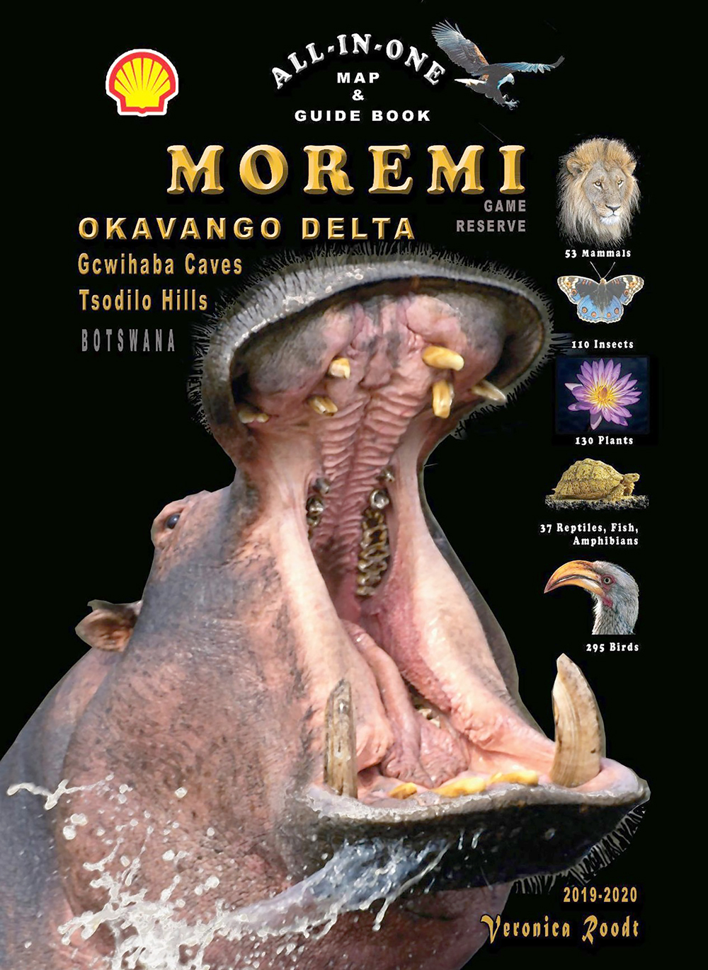
Covering the Okavango Delta, Moremi Game Reserve, Tsodilo Hills and Gcwihaba Caves (Drotsky's Caves) this is a great all-in-one map & guide book.
Tourist Map of the Serengeti National Park
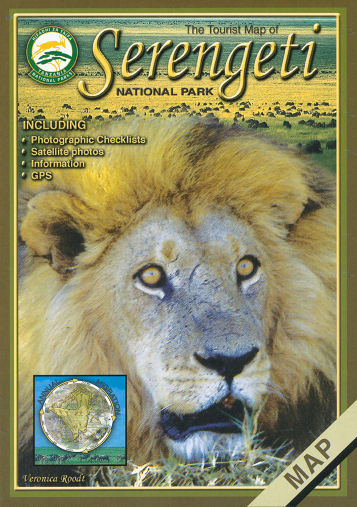
Die Tourist Map of Serengeti National Park ist auf Grundlage von Satellitenbildern erstellt und bietet sieben weitere Ausschnittskarten des Serengeti-Nationalparks.
Grasses & grazers of Botswana and the surrounding savanna
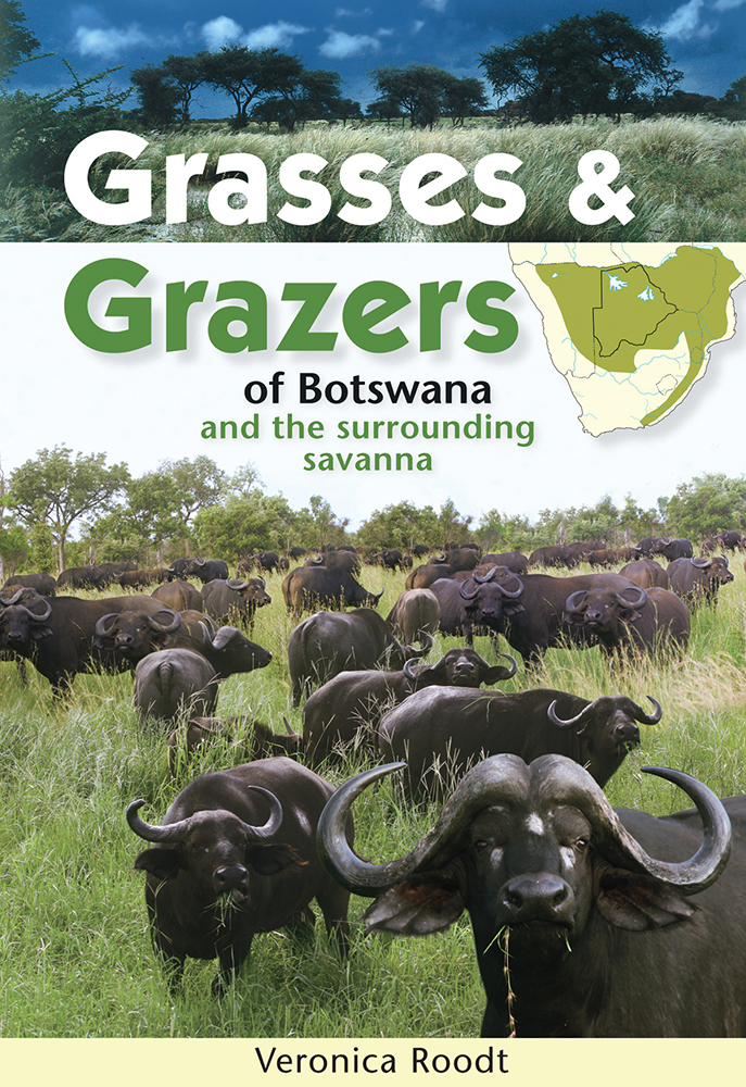
Grasses and Grazers of Botswana and the surrounding savanna is a guide to 100 grass species and to the grazers that feed on them.
Set of five Shell maps and The Shell Tourist Travel and Field Guide of Botswana
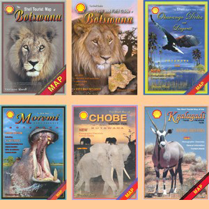
This perfect set includes five Shell maps to all regions of Botswana and The Shell Tourist Travel and Field Guide of Botswana.
Shell-Karten von Botswana / Shell maps of Botswana
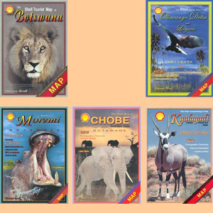
Dieser Satz Shell-Karten von Botswana umfaßt die Hauptkarte von Botswana und je eine Karte von Chobe, Moremi, Okavango und Linyanti sowie vom Kgalagadi Transfrontier Park.
Mammals of Botswana and surrounding areas
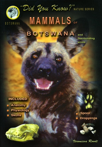
This is a easy-to-use guidebook to mammals of Botswana and surrounding areas including information on anatomy, physiology, skulls, spoors and droppings.
Mammals of the Kruger National Park and surrounding Bushveld
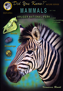
This is a easy-to-use guidebook to mammals of Kruger National Park and surrounding Bushveld including information on skulls, spoors and droppings.
Wild flowers, waterplants and grasses of the Okavango Delta and Kalahari
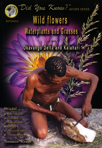
Includes all the common herbaceous (nonwoody) plants, wild flowers, waterplants and grasses of the Okavango Delta, Chobe, Makgadikgadi pans and the Kalahari.
Grasses of the Kruger National Park and surrounding Bushveld
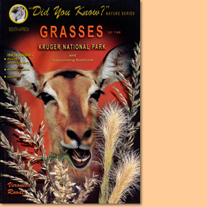
Expert Veronica Roodt introduces grasses of the Kruger National Park and the surrounding Bushveld.
Tourist Map of Lake Manyara National Park
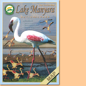
Wie alle Karten aus der Serie von Veronica Roodt, basiert auch die Tourist Map of the National Park Lake Manyara auf Satellitenaufnahmen.
Tourist Map of Tarangire National Park
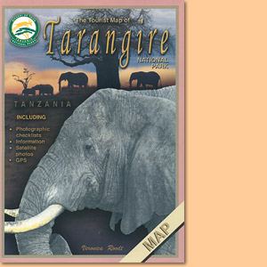
Die Tourist Map of Tarangire National Park in Tansania stammt aus der Ostafrika-Kartenserie von Veronica Rood.
Tourist Map of Arusha National Park
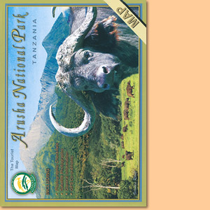
Veronica Rood hat mit der Tourist Map of Arusha National Park eine beliebte und gut zu lesende Karte geschaffen.
Tourist Map of Kilimanjaro National Park
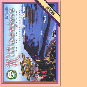
Veronica Roodt’s Tourist Map of Kilimanjaro National Park ist auf Satellitenaufnahmen aufgebaut und mit einem kräftigen, gut lesbaren Kartendesign versehen.
Tourist Map of the Ngorongoro Conservation Area
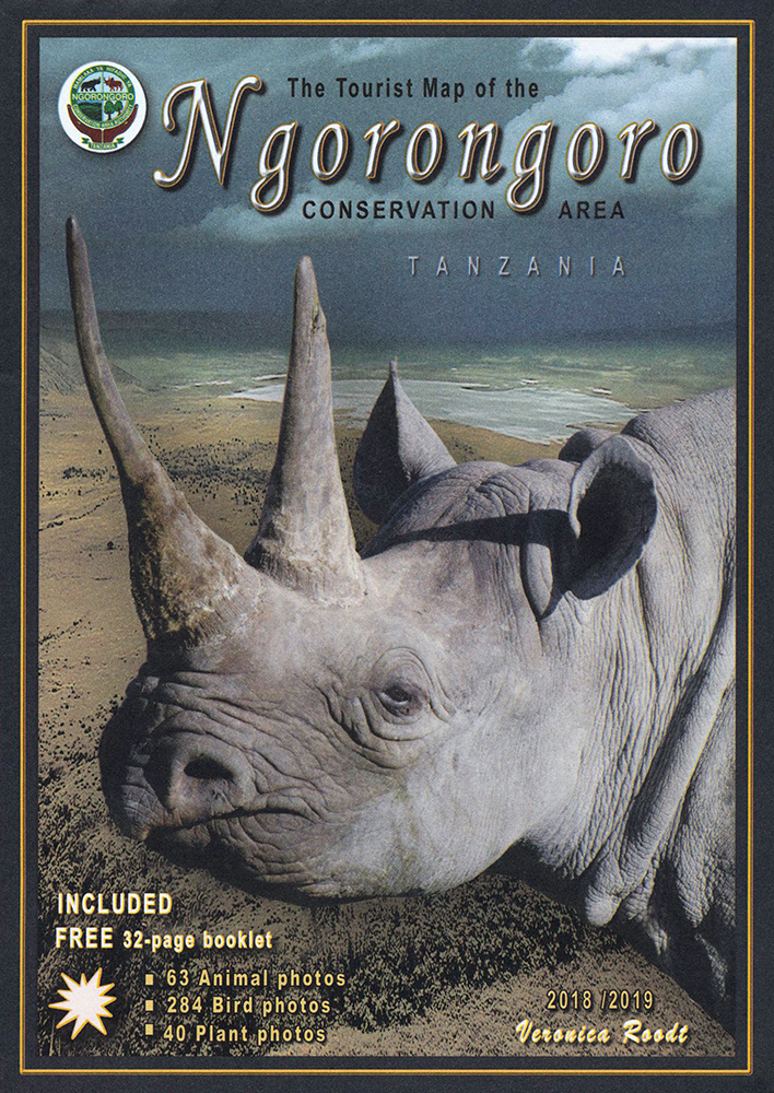
Die Tourist Map of the Ngorongoro Conservation Area ist mit Satellitenbildern hinterlegt und mit kräftigen Kartenmerkmalen versehen.
The tourist travel and field guide of the Ngorongoro Conservation Area
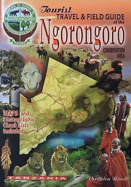
Veronica Roodt’s travel and field guide of Ngorongoro Conservation Area is made for tourists seeking for nature impressions.
The Tourist Travel and Field Guide of the Serengeti National Park
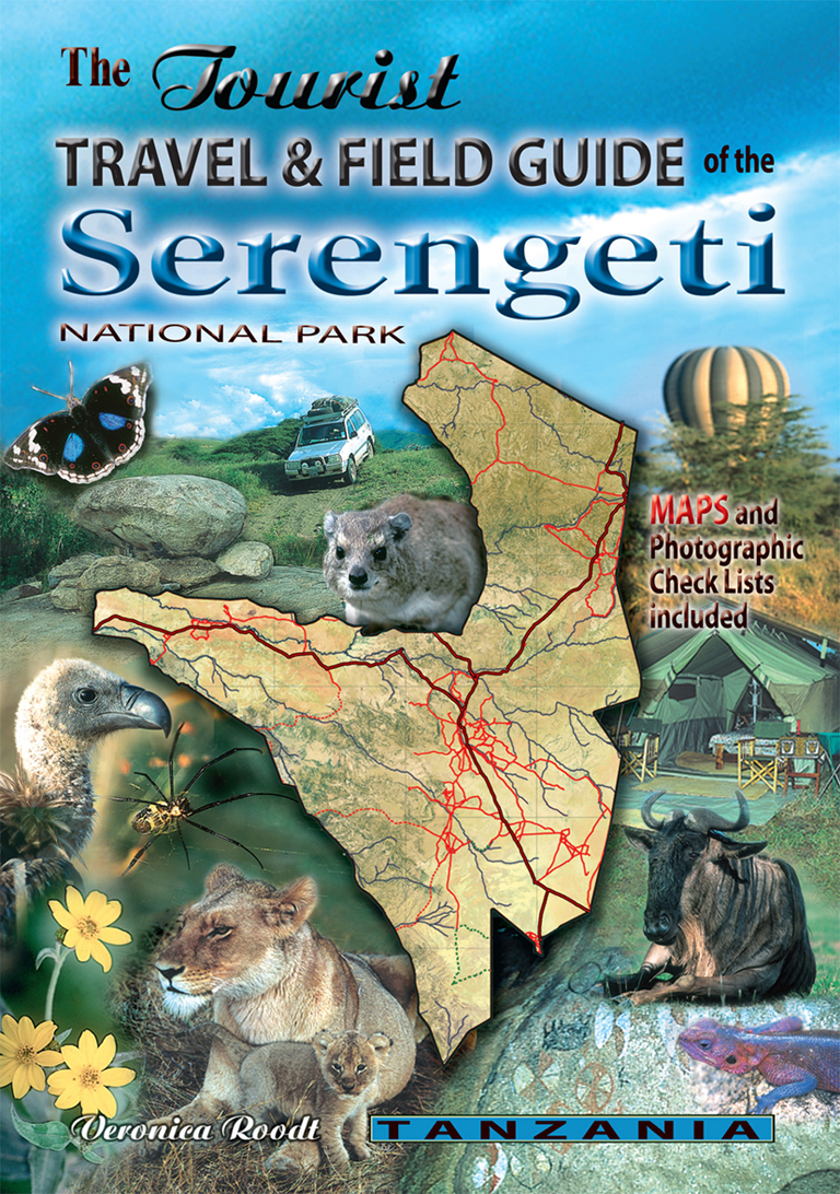
Veronica Roodt’s travel and field guide of the Serengeti National Park is consequently designed for tourists with an interest for Nature.
The Shell Tourist Map of Botswana
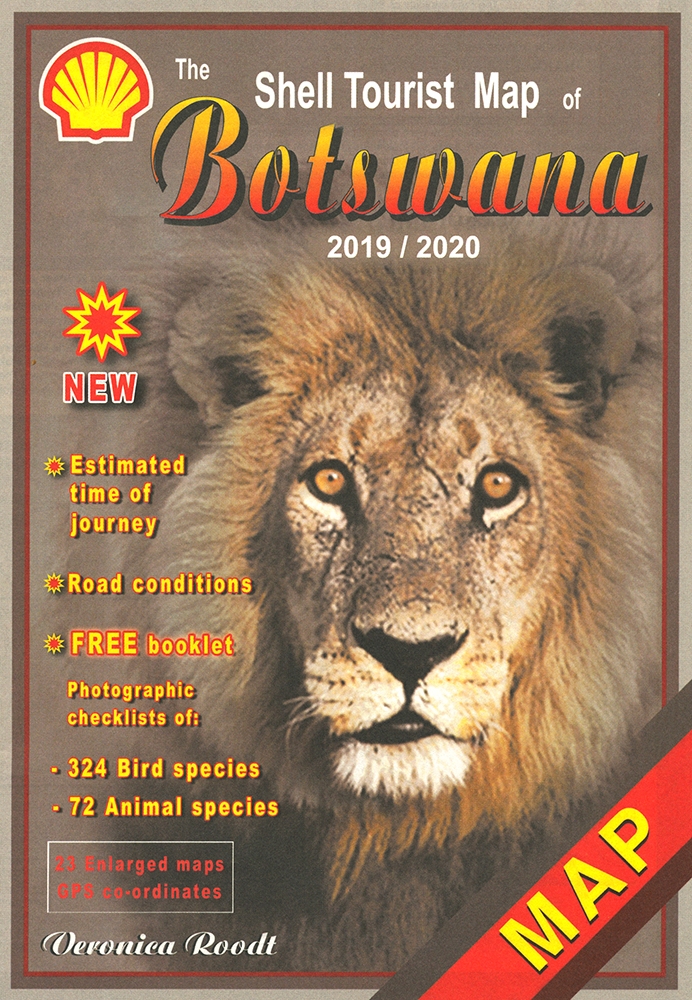
Die Shell Tourist Map of Botswana ist eine über viele Jahre ausgreifte, sehr zuverlässige Karte für den Urlaub in Botswana.
Common Wild Flowers of the Okavango Delta
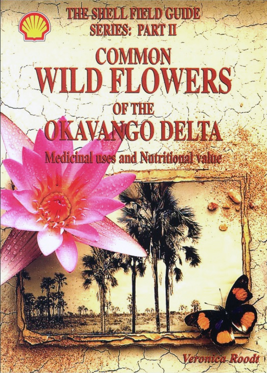
Common Wild Flowers of the Okavango Delta is not only an identification Guide but also explains their medicinal uses and nutritional value.
Trees and Shrubs of the Okavango Delta. Medicinal uses and nutritional value
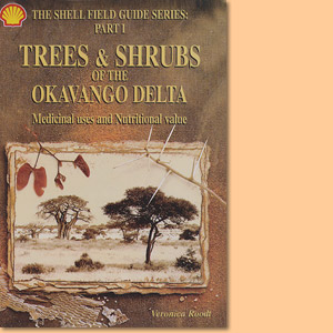
Trees and Shrubs of the Okavango Delta is not only an identification Guide but also explains their medicinal uses and nutritional value.
The Shell Tourist Map of Okavango Delta and Linyanti
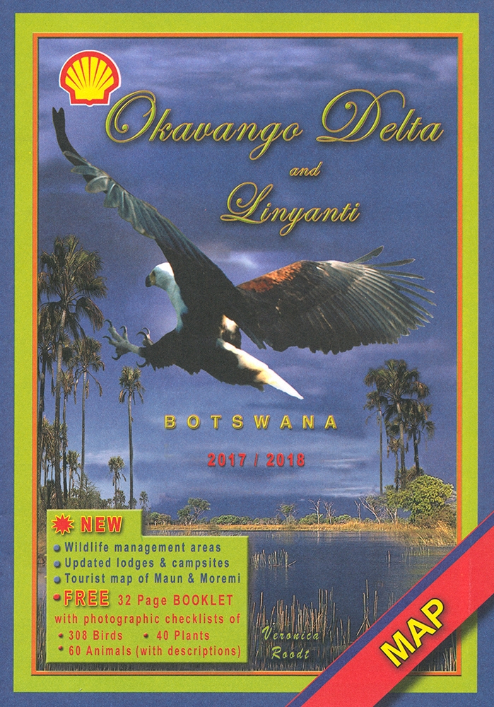
The Shell Tourist Map of Okavango Delta and Linyanti stellt die Region im Maßstab 1:400.000 und auf der Grundlage von Satellitenbildern dar.
The Shell Tourist Map of Kgalagadi Transfrontier Park
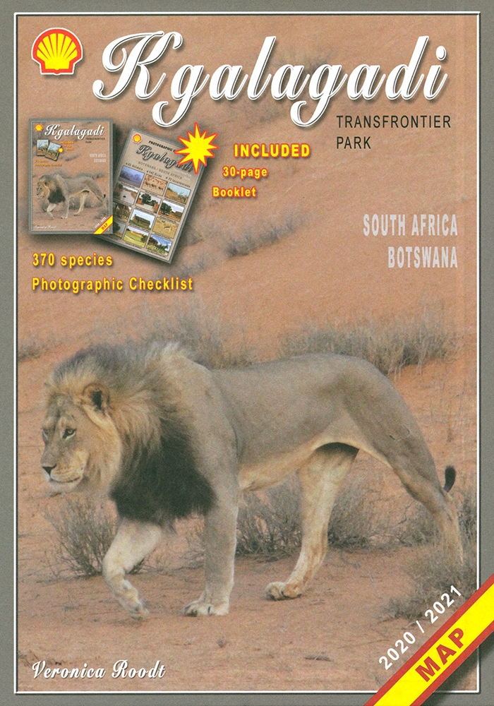
Die Shell Tourist Map of Kgalagadi Transfrontier Park stellt die ehemaligen Gemsbok National Parks in verschiedenen Maßstäben und Karten vor.
The Shell Map of Moremi Game Reserve Botswana
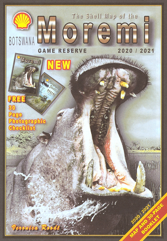
The Shell Map of Moremi Game Reserve ist eine hervorragende Karte des 1963 gegründeten Wildreservat in Botswana.
The Shell Map of Chobe National Park Botswana
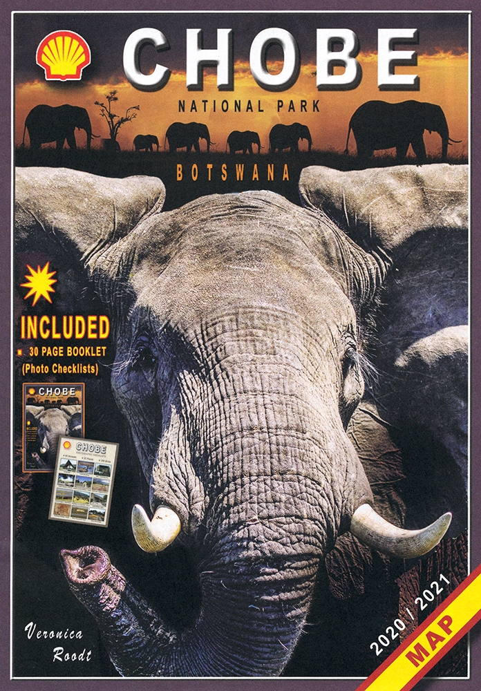
The Shell Map of Chobe National Park ist eine verläßliche Reisekarte für den Chobe-Nationalpark in Botswana.
The Shell Tourist Map of Botswana plus The Shell Tourist Travel and Field Guide of Botswana
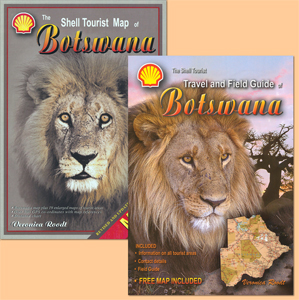
A combination of two reliable and leading products: The Shell Tourist Map of Botswana plus The Shell Tourist Travel and Field Guide of Botswana.