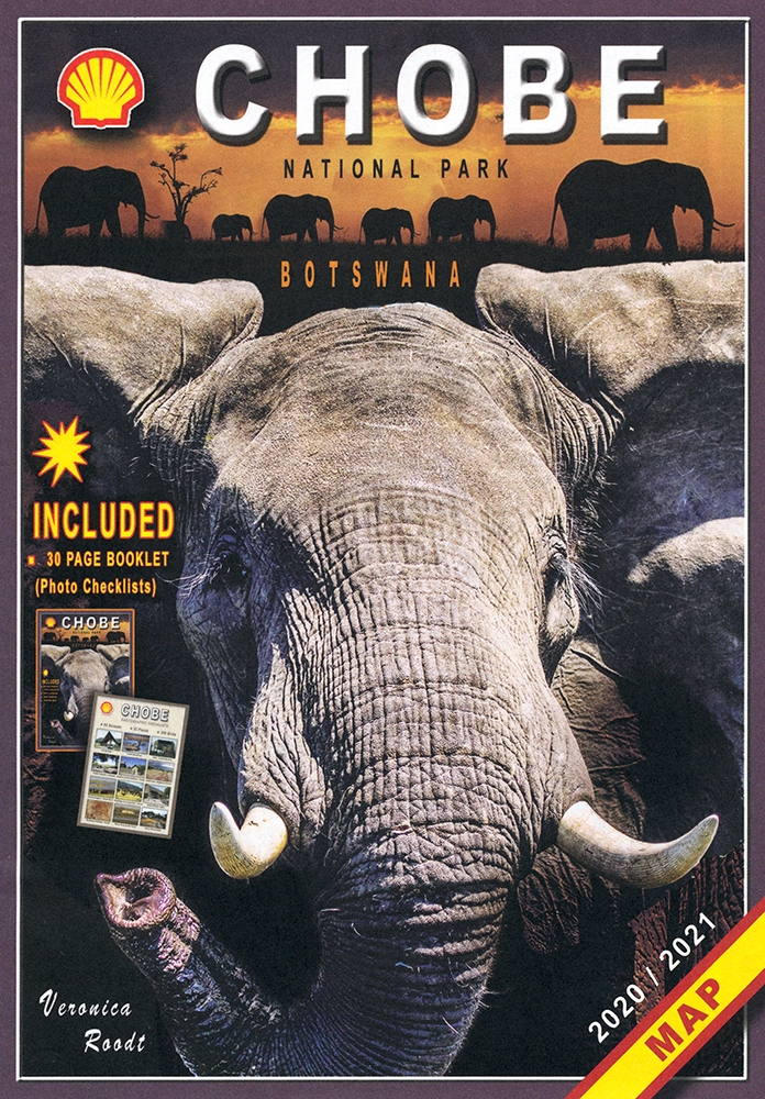
The Shell Tourist Map of Chobe National Park, by Veronica Roodt

The Shell Tourist Map of Chobe National Park, by Veronica Roodt. ISBN 9991201572 / ISBN 99912-0-157-2 / ISBN 9789991201573 / ISBN 978-9-99-120157-3

This reference map shows the areas covered by the Shell Tourist Map of Chobe National Park.

This is an outtake from the sub maps of the Shell Tourist Map of Chobe National Park, Nogatsaa Area.
Cartographer, author and biologist Veronica Roodt has added important text information in her Shell Tourist Map of Chobe National Park. Please check for her other region maps of Botswana too.
The Chobe river front is one of Botswana's top wildlife destinations. It has the advantage that it is accessible by tar road. The blue sparkling water of the Chobe attracts thousands of animals and birds. It is especially famous for its abundance of elephants and exquisite sunsets. The main game drive route follows the river and game-viewing is truly fantastic. Apart from huge herds of elephants, buffalo, sable and zebra, it is the only place in Botswana where one can see the Puku, a water-loving antelope that resembles the Lechwe. The birdlife is spectacular. As soon as the rain starts most of the elephants disappear. Savute In sharp contrast to the lush Chobe river front is the almost desert-like landscape of Savute, especially so during the dry season. The scorching sun, loose, hot sand, animals escaping the heat by clumping together in the limited available shade and Elephants impatiently lining up to get to the ever-dwindling water supply, all add up to a unique wildlife experience. The most typical feature of the landscape is the dead trees - evidence of the erratic fiow of the Savute channel over the years. In 2009 the Savute channel started flowing again after about 30 years. This source of permanent water ensures excellent game-viewing and bird-watching all year round. The nutritious grasses of the Savute Marsh and the Mababe Depression become a vital source of energy for thousands of Zebra and Wildebeest during the rainy season. Nogatsaa area When the pans in the Nogatsaa area have water, game viewing is excellent, attracting vast herds of elephants and other game. The natural pans dry up in the dry season but there are a number of artificial waterholes that provide water throughout the year. The area consists mainly of Mopane woodland and Mixed Combretum veld and some Kalahari Miombo veld, studded with numerous pans. Many of the pans have hides from which to view the game. This area is not open to the general public for camping, but there is nothing to stop you from going there for the day or visiting there en route to or from Savute. The best time to visit is in winter (from may to August). The hottest time of year is September to October, but this is the time that one can enjoy the most animal activity at waterholes and rivers. The migratory bird arrive from August to December. Along the Chobe river animal activity diminishes as soon as the rains start. From December to April one can see large herds of zebras and wildebeest on the Savute plains and the Mababe Depression. Keep in mind that it is more difficult to get around during the rains. (...)
This is an excerpt from the map: The Shell Tourist Map of Chobe National Park, by Veronica Roodt.
Title: The Shell Tourist Map of Chobe National Park
Scale: 1:760.000 (main map)
Publisher: Veronica Roodt
Series: Shell Oil Botswana
Gaborone, Botswana 2021
ISBN 9991201572 / ISBN 99912-0-157-2
ISBN 9789991201573 / ISBN 978-9-99-120157-3
Folding map, 60 x 80 cm, both-sided print, English text
Weitere Buchempfehlungen
The Shell Map of Chobe National Park Botswana
The Shell Map of Chobe National Park ist eine verläßliche Reisekarte für den Chobe-Nationalpark in Botswana.
The Shell Tourist Map of Botswana
Die Shell Tourist Map of Botswana ist eine über viele Jahre ausgreifte, sehr zuverlässige Karte für den Urlaub in Botswana.
The Shell Map of Moremi Game Reserve Botswana
The Shell Map of Moremi Game Reserve ist eine hervorragende Karte des 1963 gegründeten Wildreservat in Botswana.
The Shell Tourist Map of Okavango Delta and Linyanti
The Shell Tourist Map of Okavango Delta and Linyanti stellt die Region im Maßstab 1:400.000 und auf der Grundlage von Satellitenbildern dar.
The Shell Tourist Map of Kgalagadi Transfrontier Park
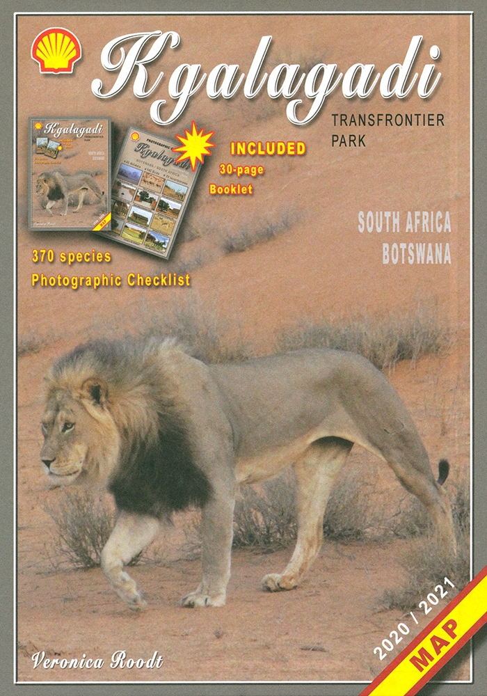
Die Shell Tourist Map of Kgalagadi Transfrontier Park stellt die ehemaligen Gemsbok National Parks in verschiedenen Maßstäben und Karten vor.