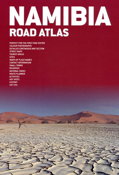
Namibia Road Atlas, by MapStudio
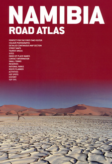
Namibia Road Atlas, by MapStudio. ISBN 9781770264380 / ISBN 978-1-77026-438-0
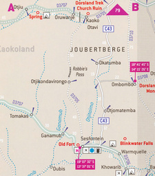
Example: A part of Kaokoland as it is shown in the Namibia Road Atlas (MapStudio)
This is the 4th edition (2012) of MapStudio's well known and popular Namibia Road Atlas, which has undergone some layout changes and improovments.
People of Namibia
Namibia's hunter-gatherer San are around 35,000 strong in numbers and enjoy a proud tradition as great storytellers, musicians, mimics and dancers. Their forefathers wandered South Africa's plains for thousands of years, leaving a wealth of rock art and engravings (notably the White Lady painting found in the Brandberg, as well as Twyfelfontein, the San's equivalent of the Louvre) to stake their claim as one of Namibia's oldest peoples. Some of their paintings date back almost 30,000 years. A large proportion of the San now live a 'normal' life in villages, while some continue to enjoy a traditional, nomadic existence (mostly in Botswana) many of whom enjoy professional employment. The Damara are proud to be one of the country's oldest cultural groups, and from their ranks come many politicians who are among the most eloquent in Namibia's parliament. Their traditional homeland, Damaraland, was renamed the Erongo Region after independence in 1990, with a population numbering over 100,000. The Herero migrated to Namibia centuries ago. They suffered great population losses during the colonial wars and in the 1904/5 Herero Uprising. Pastoral cattle breeders, they have retained their bonds of family life and tribal solidarity despite the wartime losses and proudly celebrate their national consciousness with a festival on Maherero Day in Okahandja every August, which includes a display of military pomp through the town's streets. The Himba are a semi-nomadic tribe of pastoralists based in the Kunene region. They live in cone-shaped 'homes' made from saplings, palm leaves, mud and dung. Proud yet friendly, these famously beautiful people are tall, slender and statuesque. They adorn themselves with bracelets, anklets, necklaces, iron belts and beautiful beads made from shells. The women protect their skin from the harsh desert sun by coating their bodies with red ochre and fat. The Kavango River provides a lifeline for the Kavango People, whose numbers have swelled to over 200,000, causing 'domestic overcrowding': on average, six and a half people live in each household! Many of the younger generation are migratory farm labourers, miners and urban workers, while those who remain closer to home. The Caprivians number around 80,000 and live in the Caprivi Strip. They are mostly subsistence farmers who make their living from cultivating crops, keeping cattle and fishing. These resourceful people are adaptable to the seasons: those living on the eastern flood plains of the Zambezi and Chobe rivers move seasonally, depending on the level of the floods. The Nama are Namibia's only pure Khoi descendants. Certain distinctive characteristics, such as the women's small and slender hands and feet, make the Khoi easily distinguishable. Nama have a natural talent for music, poetry and prose. An example of a traditional dance is the well-known Nama 'stap'. Numerous proverbs, riddles, tales and poems have been handed down orally from generation to generation. Nama women are highly skilled in sewing. Their embroidery and applique work, today regarded as a traditional art form, consist of brightly coloured motifs inspired by their rural environment and lifestyles. The content of their work is often expressive and humorous, as seen in the colourful, traditional patchwork dresses that the Nama women wear. [...]
This is an extract from the Namibia Road Atlas, by MapStudio.
Title: Namibia Road Atlas
Scale: 1:1500000
Series: MapStudio Tourist Atlas
Publisher: MapStudio
4th edition, Cape Town 2012
ISBN 9781770264380 / ISBN 978-1-77026-438-0
Softcover, 17x24 cm, 96 pages, throughout maps and photos, Text: English
MapStudio im Namibiana-Buchangebot
Visitor's Guide Durban & Surrounds
Discover 100 must-do activities in Durban, with MapStudio’s Visitor’s Guide Durban & Surrounds.
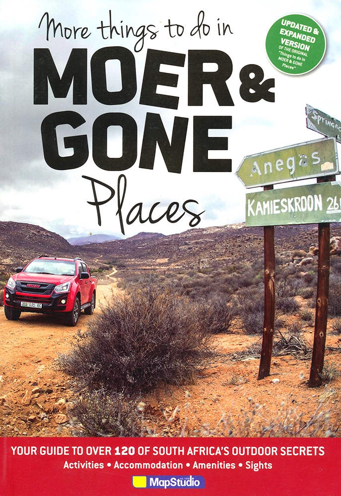
More things to do in Moer and Gone Places (MapStudio)
More things to do in Moer and Gone Places in 102 destinations in South Africa, Zimbabwe, Botswana, Namibia, Lesotho, Swaziland and Mozambique.
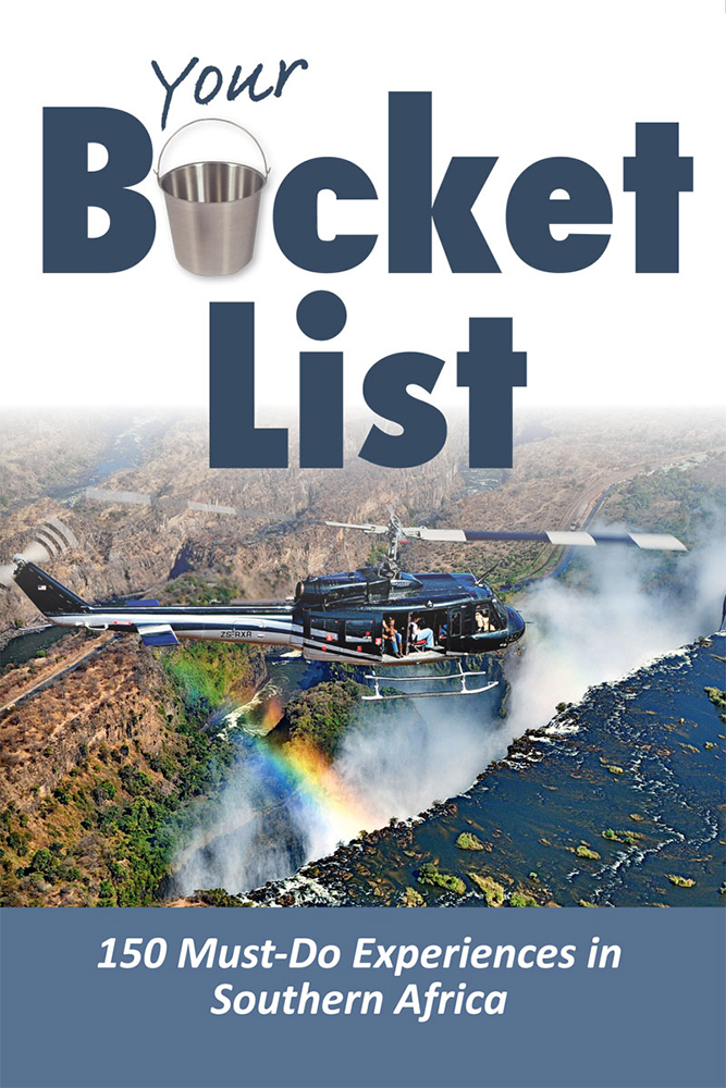
Your Bucket List: 150 Must-Do Experiences in Southern Africa
Your Bucket List by renowned author Patrick Cruywagen gives you more than 150 must-do experiences in Southern Africa.
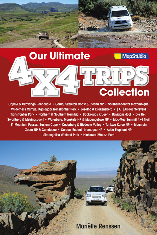
Our ultimate 4x4 Trips Collection (MapStudio)
Our ultimate 4x4 Trips Collection by MapStudio is a must-have book for all 4×4 travellers. See Southern Africa like never before!
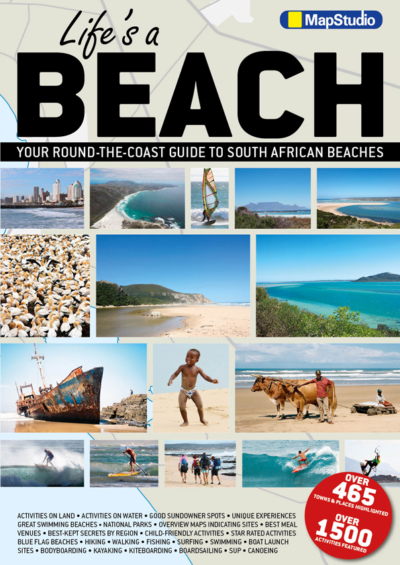
Life's a beach: Your Round-the-Coast Guide to South African Beaches (MapStudio)
Discover the beauty of South Africa’s beaches with MapStudio‘s Life's a beach: Your Round-the-Coast Guide.
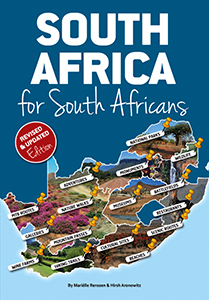
South Africa for South Africans (MapStudio)
MapStudio's South Africa for South Africans turns away from heavily trodden visitor paths, delving into lesser known, more unusual activities.
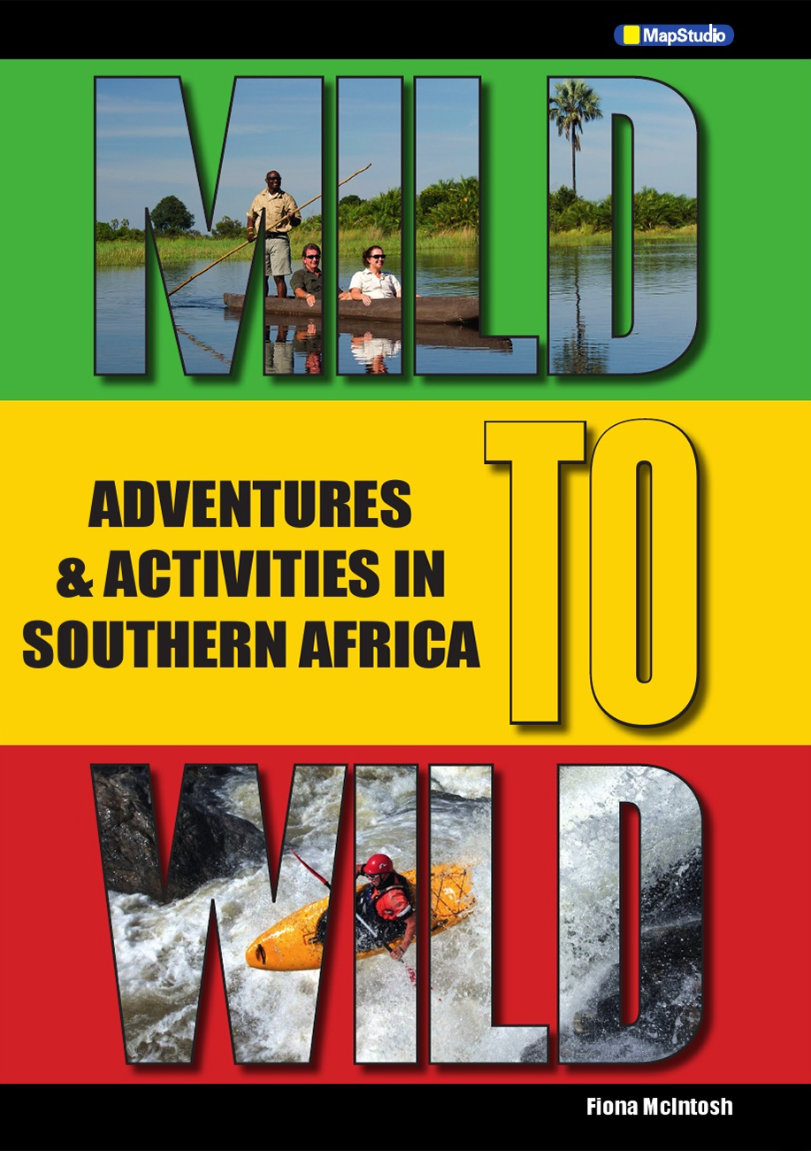
Mild to Wild: Adventures and Activities in Southern Africa (MapStudio)
MapsStudio's Mild to Wild: Adventures and Activities in Southern Africa is the ultimate guide to Southern Africa.
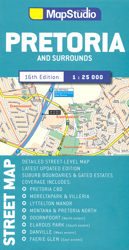
Pretoria Street Map (MapStudio)
Die Pretoria Street Map von MapStudio stellt den Stadtkern und den Großraum Pretoria im Maßstab 1 : 25.000 und in guter Detailtiefe dar.
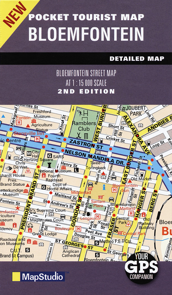
Bloemfontein Pocket Map (MapStudio)
Die Bloemfontein Pocket Map von MapStudio bildet mit dem Stadtzentrum den für Südafrika-Reisende interessanten Teil Bloemfonteins im Maßstab 1 : 15.000 ab.
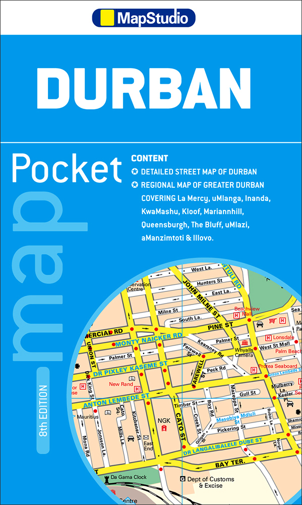
Durban Pocket Map (MapStudio)
Die Durban Pocket Map von Mapstudio bildet die südafrikanische Hafenstadt Durban im Maßstab 1:12.000 ab.
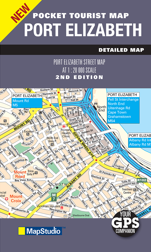
Port Elizabeth Pocket Map (MapStudio)
MapStudios handlicher Stadtplan 'Port Elizabeth Pocket Tourist Map' zeigt den touristisch interessanten Teil der Küstenstadt im Maßstab 1:20.000.
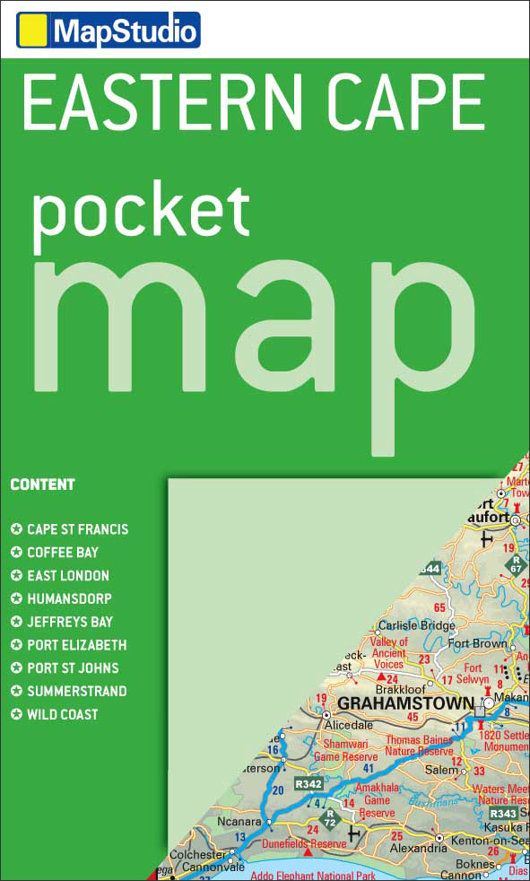
Eastern Cape Pocket Map (MapStudio)
Die Eastern Cape Pocket Map von MapStudio stellt die touristisch hochinteressante Region Südafrikas im Maßstab 1:1.500.000 dar.
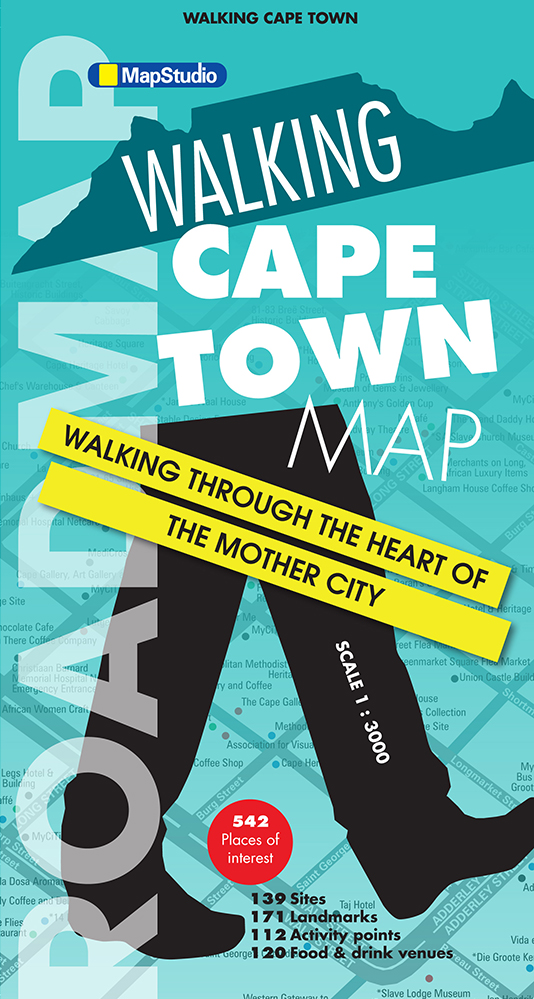
Walking Cape Town Road Map (MapStudio)
Walking Cape Town Road Map von MapStudio ist eine Mischung aus Stadtplan und Wanderkarte und vor allem für Fußgänger in Kapstadt ausgelegt.
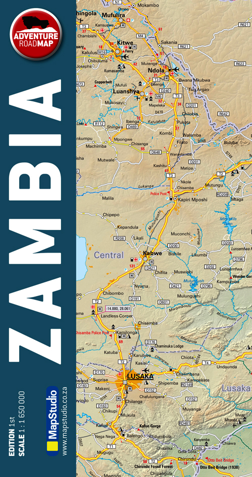
Zambia Adventure Road Map (MapStudio)
Die Zambia Adventure Road Map von MapStudio ist im Maßstab 1:1.650.000 angelegt und reich an topographischen Merkmalen.
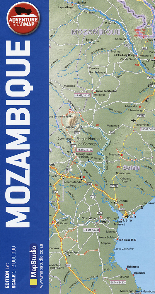
Mozambique Adventure Road Map (MapStudio)
Die Mozambique Adventure Road Map (MapStudio) zeigt ein modernes, sehr leicht lesbares Kartendesign.
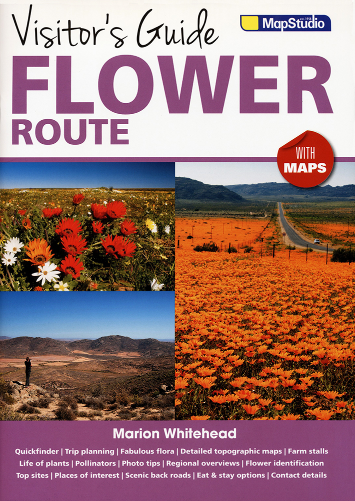
Visitor’s Guide Flower Route (MapStudio)
Visitor’s Guide Flower Route by MapStudio introduces to the wonders of the coastal reagion north of Cape Town.
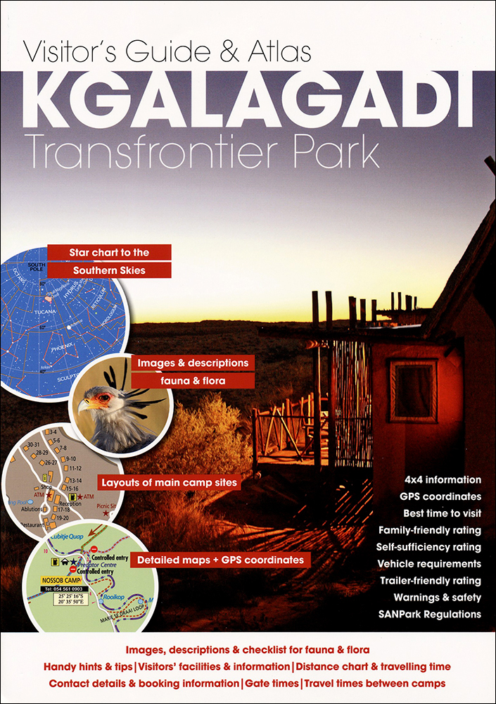
Visitor's Guide Kgalagadi Transfrontier Park (Mapstudio)
Mapstudio's Visitor's Guide & Atlas Kgalagadi Transfrontier Park is a new, nicley photographed guide to a somewhat neglected destination.
Visitor's Guide to the Kruger National Park (Mapstudio)
Visitor's Guide to the Kruger National Park is a detailed map and informative guide with best routes and GPS points.
WTF What the Fact! (MapStudio)
MapStudio's WTF What the Fact! is a collection of many useful facts, mostly about South Africa, everyone wants to know.
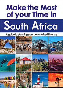
Make the most of your time in South Africa (MapStudio)
Make the most of your time in South Africa makes rout proposals and is a new MapStudio product.
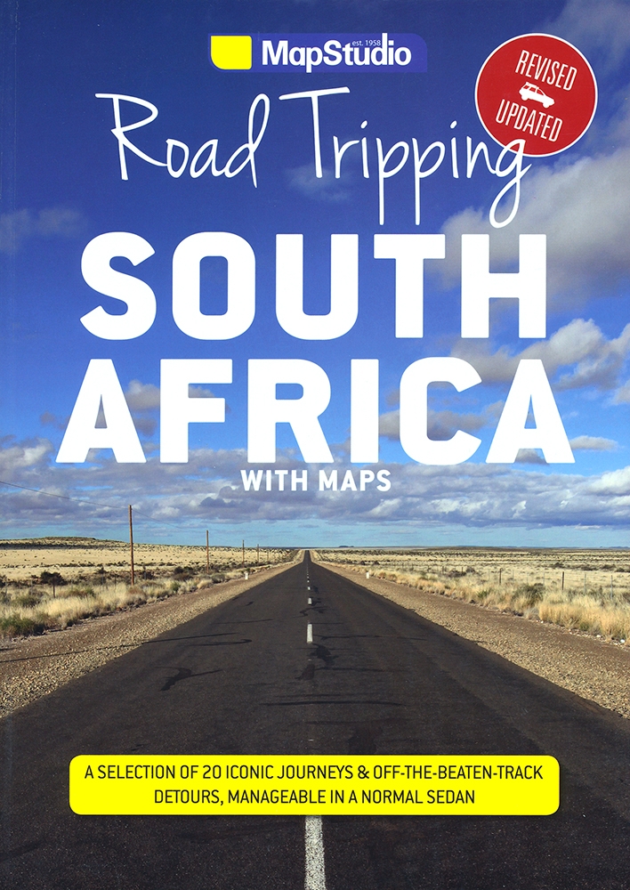
Road Tripping South Africa (MapStudio)
MapStudio's Road Tripping South Africa will take you on quiet, scenic back roads to places that you probably didn’t know existed.
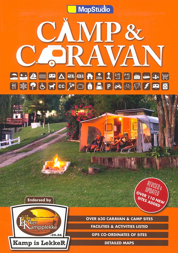
Camp & Caravan (MapStudio)
MapStudio's Camp & Caravan is a very good guide to 600 camping, camping places and ressorts in South Africa.
More back-road 4x4 trips (MapStudio)
More Back-Road 4x4 Trips offers real life route experiences of 10 new trips in Mozambique, Lesotho, Namibia and South Africa, where every route has been personally travelled by Marielle Renssen.
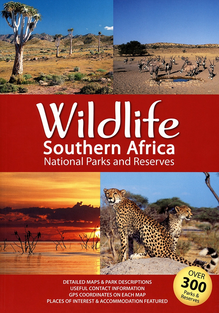
Wildlife Southern Africa: National Parks and Reserves (Mapstudio)
MapStudio's Wildlife Southern Africa is a great guide to over 300 National Parks and Reserves in South Africa, Namibia, Botswana, Zimbabwe, Mozambique and Lesotho.
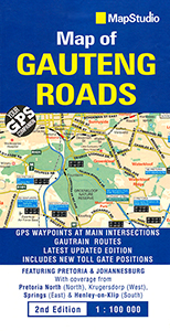
Map of Gauteng Roads (MapStudio)
Map of Gauteng Roads (MapStudio) ist eine Übersichtskarte für den Großraum Johannesburg-Pretoria.
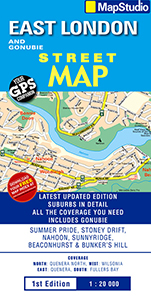
East London & Gonubie Street Map (MapStudio)
Dies ist ein Stadtplan der südafrikanischen Städte East London und Gonubie des Kartenverlages MapStudio.
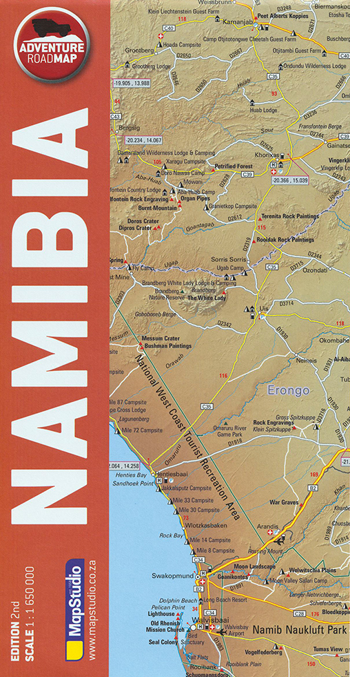
Adventure Road Map Namibia (MapStudio)
Die neue Adventure Road Map Namibia von MapStudio ist im Maßstab 1:1.650.000 angelegt.
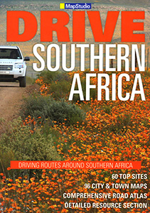
Drive Southern Africa (MapStudio)
Drive Southern Africa (MapStudio) is a pictorial journey of Southern Africa dividing the region into seven major driving routes.
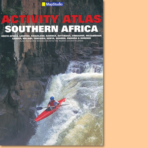
Activity Atlas Southern Africa (MapStudio)
MapStudio's Activity Atlas Southern Africa includes introductory maps, a brief history, people and culture, natural wonders, animals and plants and adventure regions.
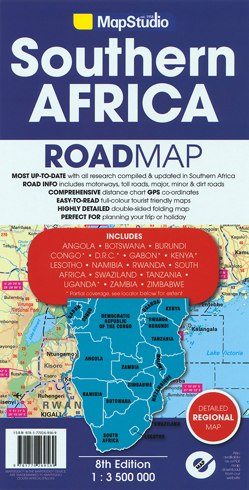
Southern Africa Road Map (MapStudio)
Die praktische Übersichtkarte Southern Africa Road Map von MapStudio bildet das südliche und zentrale Afrika vom Kap Agulhas bis zum Äquator ab.
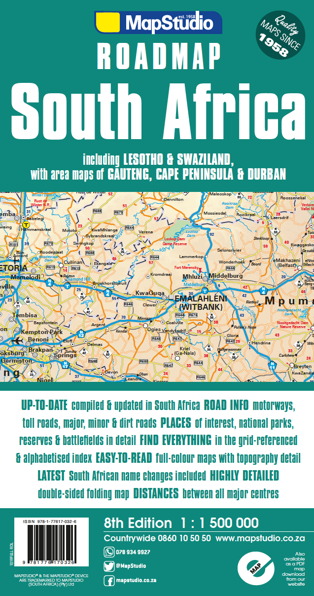
South Africa, Lesotho and Swaziland Road Map (MapStudio)
Die South Africa, Lesotho and Swaziland Road Map von MapStudio ist eine ausgereifte und zuverlässige Karte für Südafrika, Lesotho und Swasiland.
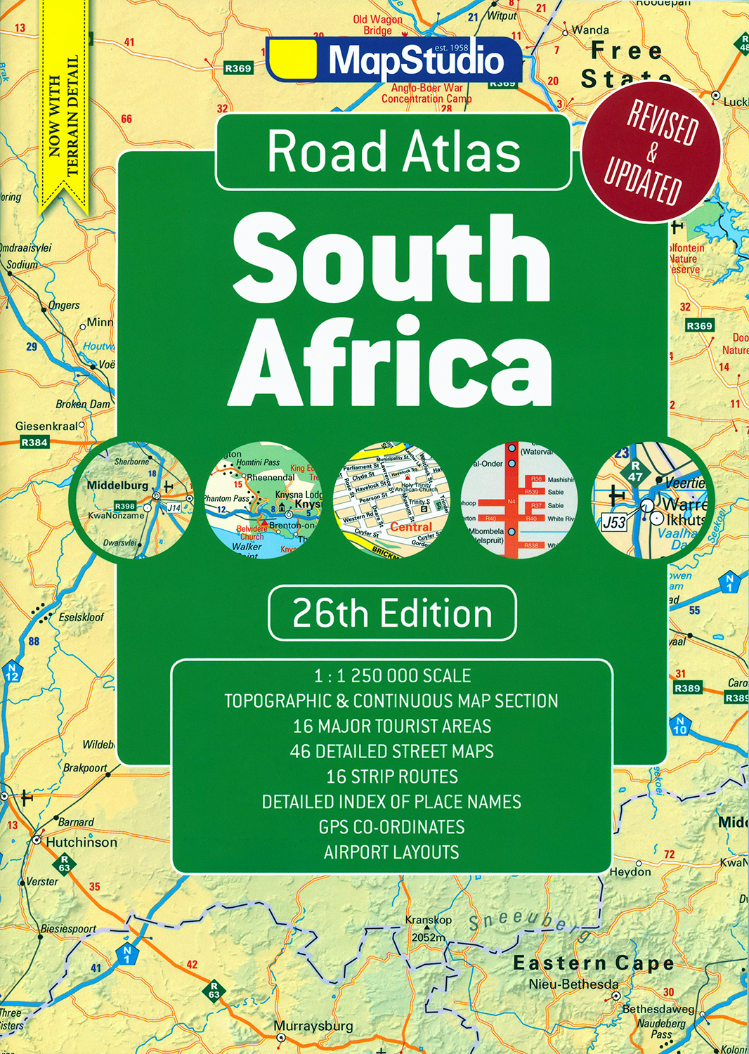
South Africa Road Atlas (MapStudio)
Der South Africa Road Atlas von Mapstudio ist ein in zahlreichen Auflagen erneuerter, bewährter und praktischer Reisebegleiter.
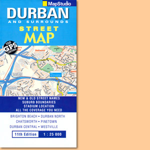
Durban & Surrounds Street Map (MapStudio)
Die Durban and Surround Street Map von MapStudio stellt den Großraum der größten Stadt von Kwazulu-Natal im Maßstab 1:25.000 dar.
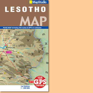
Lesotho Road Map (Mapstudio)
Die Karte Lesotho Road Map von MapStudio zeigt das im Osten von Südafrika gelegene Königreich Lesotho im Maßstab 1:350.000.
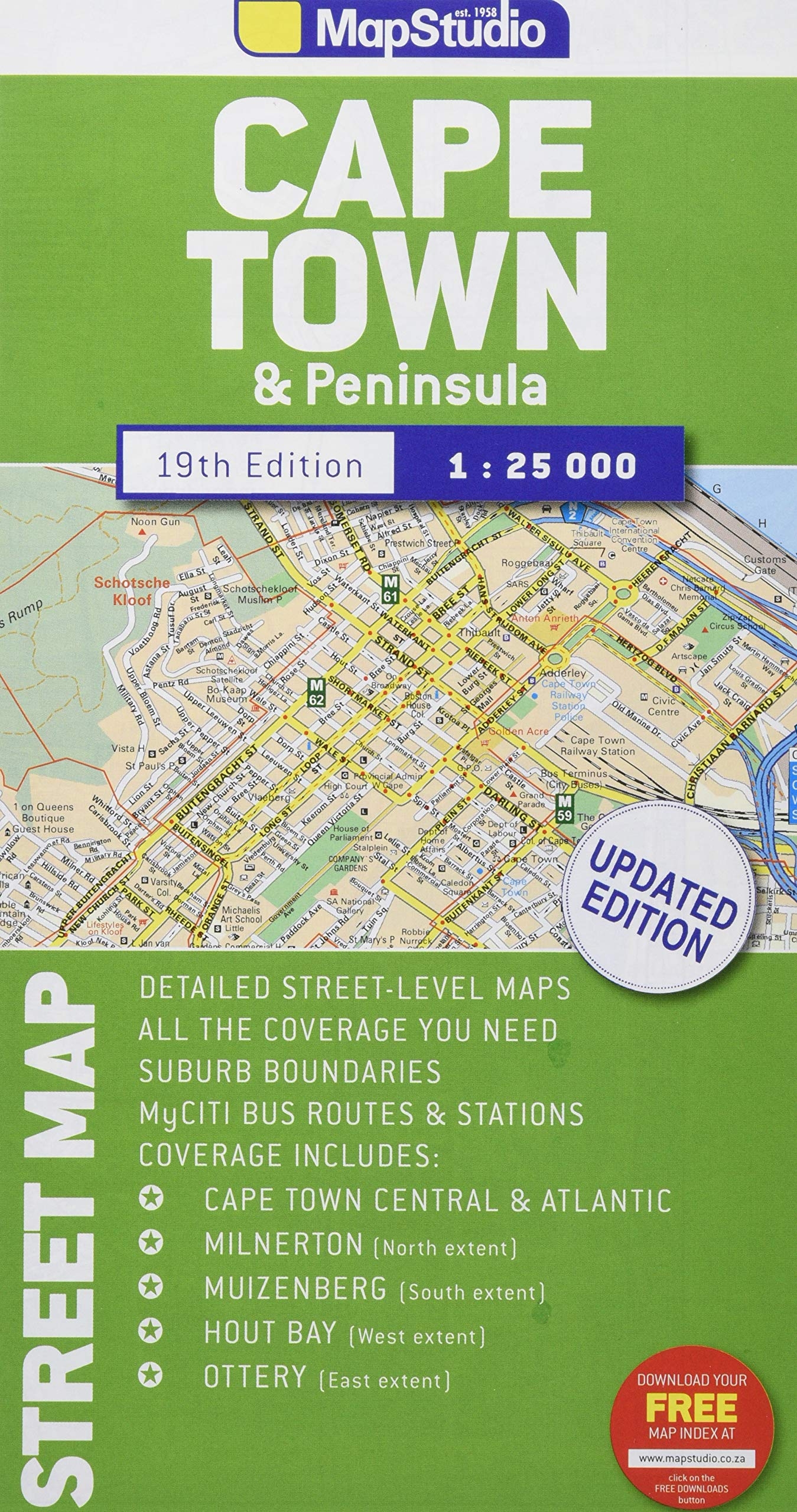
Cape Town & Peninsula Street Map (Mapstudio)
Die Cape Town & Peninsula Street Map von Mapstudio zeigt Kapstadt in einem beidseitig bedruckten Haupt-Stadtplan (1:25.000) und vier Nebenkarten.
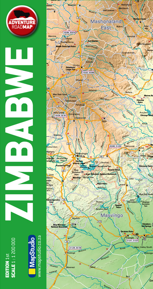
Zimbabwe Adventure Road Map (Mapstudio)
Die Zimbabwe Adventure Road Map von Mapstudio ist eine leicht lesbare und moderne Karte mit GPS-Koordinaten.
Cape Town to Port Elizabeth Road Atlas including East London (MapStudio)
Der Cape Town to Port Elizabeth Road Atlas deckt im Maßstab 1:500000 das Gebiet entlang der südafrikanischen Küstenstraße zwischen Kapstadt, Port Elizabeth und East London ab.
Southern & East Africa Road Atlas (MapStudio)
Map Studio’s Southern & East Africa Road Atlas covers Angola, Botswana, Congo, Kenya, Malawi, Mozambique, Namibia, South Africa, Tanzania, Zambia, Zimbabwe, Lesotho, Swaziland, Uganda, Burundi, Rwanda.
4x4 Routes through Southern Africa (Mapstudio)
The Mapstudio 4x4 Routes through Southern Africa takes a detailed look at 20 great 4x4 routes across Southern Africa and includes a CD with GPS tracks and maps.
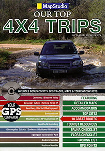
Our Top 4x4 Trips. South Africa, Namibia & Botswana (Mapstudio)
Our Top 4x4 Trips features chosen and prooved 4x4 tracks in South Africa, Namibia and Botswana and is a product of MapStudio.
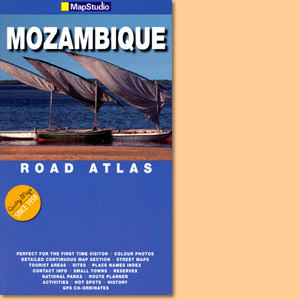
Mozambique Road Atlas (Mapstudio)
Mozambique Road Atlas by Mapstudio is a guide to main sites and parks, historical information, activities, getting around on the roads, what to pack, eating and sleeping.
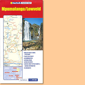
Mpumalanga/ Lowveld Tourist Map (MapStudio)
Von der beliebten Mpumalanga/ Lowveld Tourist Map von MapStudio gibt es inzwischen eine aktuelle Folgekarte.
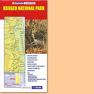
Kruger National Park Tourist Map 1:450.000 (MapStudio)
Kruger National Park Tourist Map 1:450.000 hat keinen entsprechenden Kartennachfolger innerhalb der MapStudio-Reihe gefunden.
Book of the Road. Your South African Motoring Bible (MapStudio)
Book of the Road. Your South African Motoring Bible ist ein hervorragender Südafrika-Atlas ist im Maßstab 1:750.000 von MapStudio.
Windhoek Street Map; Stadtplan (MapStudio)
Mapstudios Windhoek Street Map stellt als Stadtplan alle Stadtteile Windhoeks, und nicht, wie so oft zu sehen, nur das erweiterte Zentrum dar.
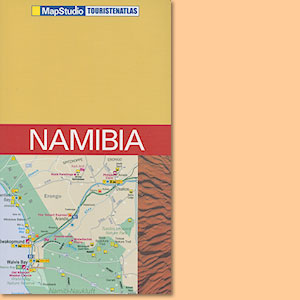
Namibia Touristenatlas (MapStudio)
Der Namibia Touristenatlas von MapStudio bietet eine vollständige Abdeckung des Landes und ein reiches Zusatzangebot an Stadtplänen und regionalen Karten.
Cape Town & Surrounding Attractions Road Map (MapStudio)
Mit der Cape Town & Surrounding Attractions Road Map bietet MapStudio eine regionale Themenkarte an, die zu zahllosen Sehenswürdigkeiten und Ausflugszielen in und um Kapstadt führt.
Angola Road Map 1:1.500.000 (MapStudio)
Die Angola Road Map von MapStudio ist eine der wenigen aktuellen Karten von Angola, gut lesbar und übersichtlich im Maßstab 1:1.500.000 gestaltet.
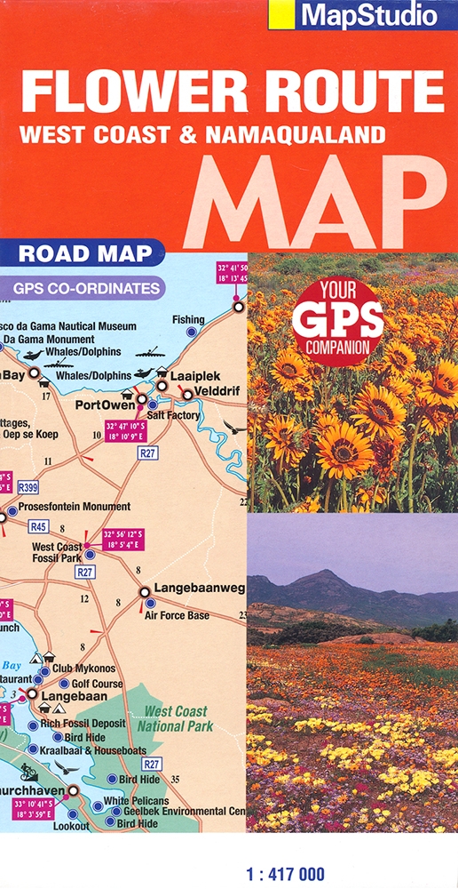
Flower Route, West Coast & Namaqualand Road Map (MapStudio)
Mit der Karte Flower Route, West Coast & Namaqualand Road Map hat MapStudio die Westküste von Südafrika, die berühmte Flowerroute und das Namaqualand dargestellt.
Mpumalanga Lowveld & Kruger National Park Tourist Atlas (MapStudio)
The Mpumalanga Lowveld & Kruger National Park Tourist Atlas belongs to a well known series published by MapStudio that covers wide parts of Southern Africa.
Atlas of National Parks and Reserves of South Africa 1:1.500.000
The Atlas of National Parks and Reserves of South Africa covers over 300 parks, reserves, over 150 photographs, site and location maps.
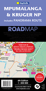
Mpumalanga and Kruger National Park incl. Panorama Route Road Map (MapStudio)
MapStudio stellt mit der Mpumalanga & Kruger National Park & Panorama Route Road Map die touristischen Schwerpunkte der Mpumalanga-Provinz im Maßstab 1 : 200.000 dar.
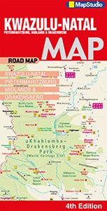
KwaZulu-Natal Road Map (MapStudio)
Straßenkarte KwaZulu-Natal Road Map 1:250 000 von MapStudio mit Pietermaritzburg, Midlands & Drakensberg.
Richtersveld & Fish River Canyon Road Map (MapStudio)
Die Richtersveld & Fish River Canyon Road Map von MapStudio stellt zwei entlegene Regionen in Südafrika und Namibia dar.
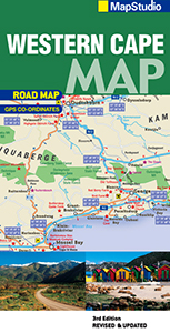
Western Cape Road Map (MapStudio)
Die gut lesbare Western Cape Road Map von Mapstudio deckt Südafrikas Western Cape in Gänze und mit vielen GPS-Koordinaten ab.
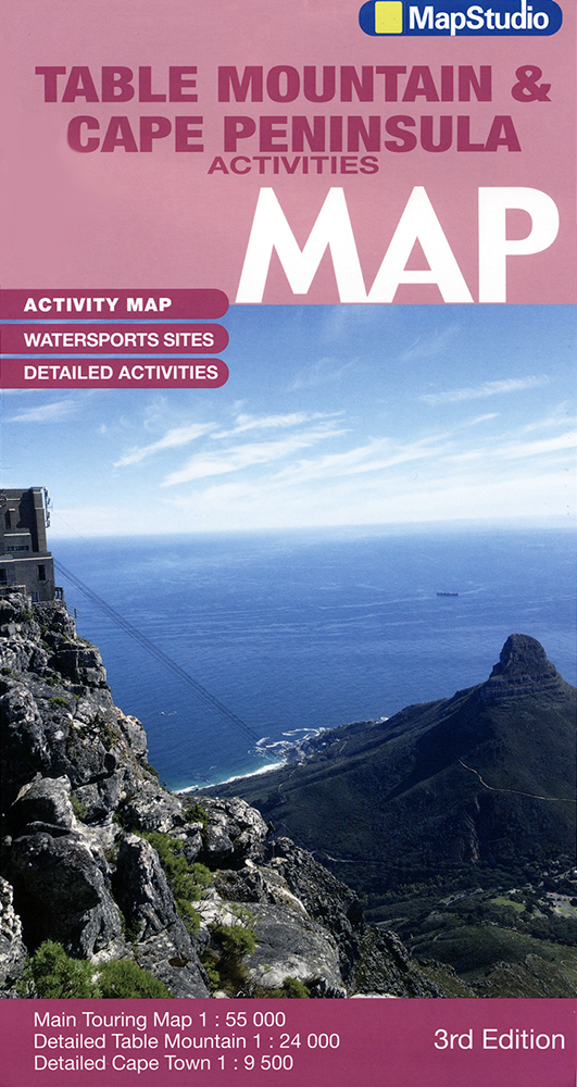
Table Mountain and Cape Peninsula Activities Map (MapStudio)
Die Table Mountain and Cape Peninsula Activities Map von MapStudio ist eine ausgezeichnete Karte für Unternehmungslustige am Kap der Guten Hoffnung.
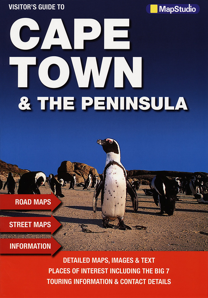
Visitor's Guide to Cape Town & The Peninsula (MapStudio)
MapStudio's Visitor's Guide to Cape Town & The Peninsula is a very useful routefinder, with beautiful photos to guide you along your way.
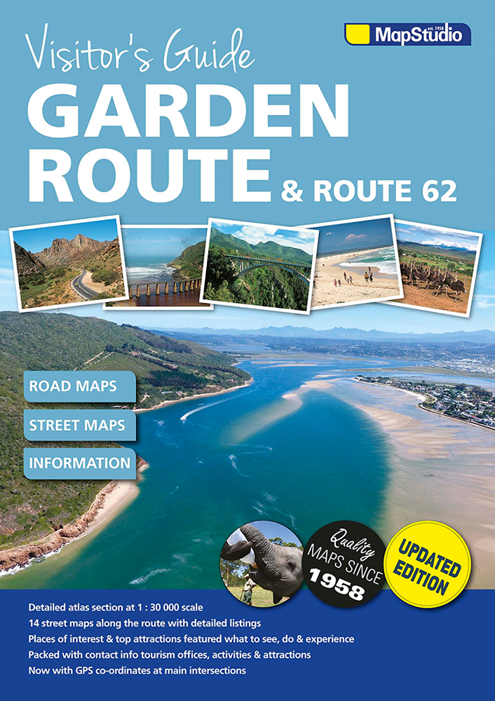
Visitor's guide Garden Route & Route 62 (MapStudio)
This visitor's guide was designed as a detailed and easy to follow route planner to the Garden Route & Route 62 at scale 1:30.000.
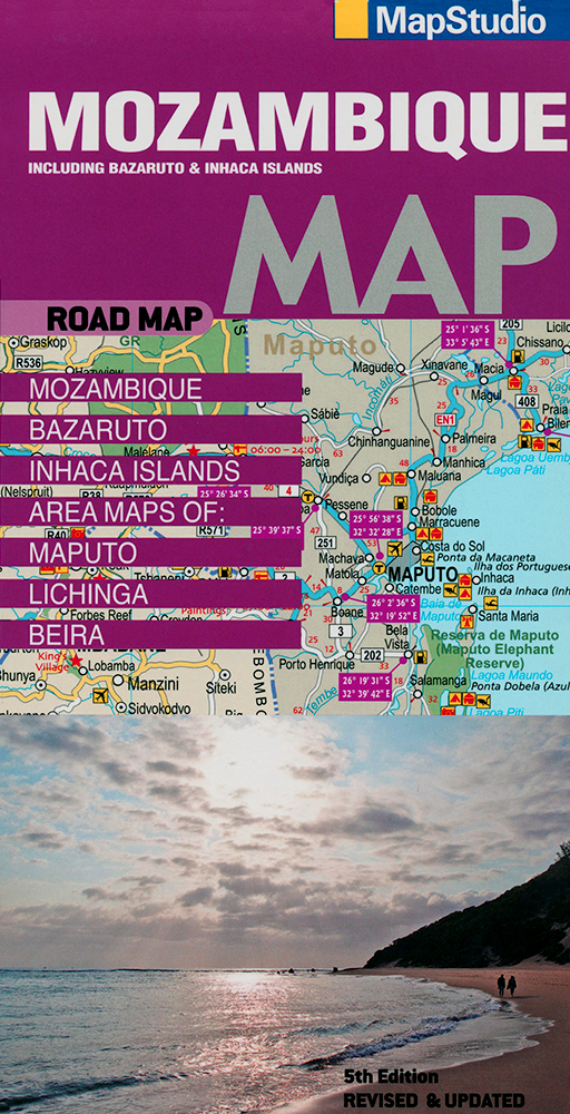
Mozambique Road Map (MapStudio)
Die ausgereifte Mozambique Road Map von MapStudio deckt Mosambik mitsamt Bazaruto Archipelago und Inhaca Islands ab.
Namibia Road Atlas (MapStudio) 1:1500000
The Namibia Road Atlas by MapStudio, displays Namibia and its regions in scale 1:1500000 plus 21 major towns.
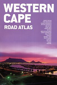
Western Cape Road Atlas (MapStudio)
Western Cape Road Atlas (MapStudio) features popular tourist areas, like Cape Town, the Cape Winelands, the West Coast, the Breede River Valley, Overberg, the Garden Route, Route 62 and the Klein Karoo.
Eastern Cape Road Atlas (MapStudio)
Der Eastern Cape Road Atlas 1:700.000 von MapStudio enthält in dieser 4. Auflage erstmals GPS-Koordinaten.
Kwazulu-Natal Road Atlas 1:600.000
Road maps, Information and GPS-co-ordinates for Kwazulu-Natal and main tourist areas
Cradle of Humankind Explore Map
Die Cradle of Humankind Explore Map ist eine Karte der Sehenswürdigkeiten der prähistorischen Geschichte Südafrikas.
Garden Route & Route 62 Road Map (MapStudio)
Die von MapStudio herausgegebene Garden Route & Route 62 Road Map bildet die bekannte südafrikanische Region zwischen Cape L'Agulhas und Port Elizabeth im Maßstab 1:300.000 ab.
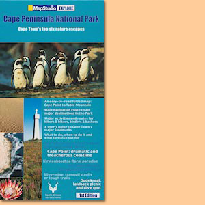
Cape Peninsula National Park Explore Map
Cape Peninsula National Park Explore Map covers Cape Point to Table Mountain.
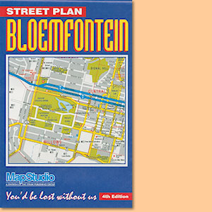
Bloemfontein Street Plan
Nutzen Sie Stadtpläne in größeren Städten - Don't get lost in South Africa's cities!
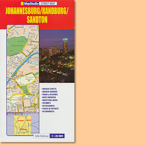
Johannesburg/Randburg/Sandton Street Map
Nutzen Sie Stadtpläne in größeren Städten: Johannesburg/Randburg/Sandton Street Map.
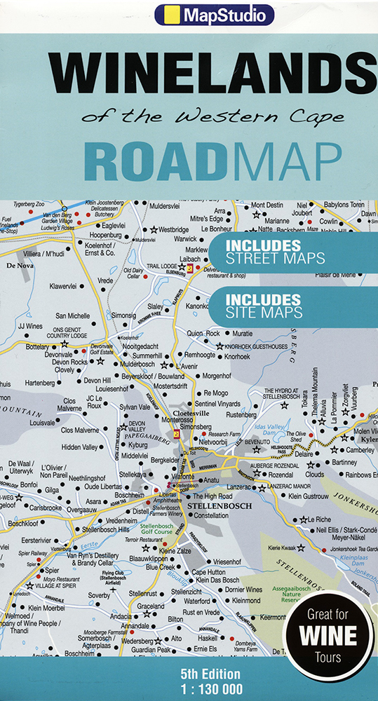
Winelands of the Western Cape Road Map/Karte (MapStudio)
Winelands of the Western Cape Road Map von MapStudio ist eine Regionalkarte der Weinanbaugebiete Südafrikas.
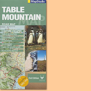
Table Mountain Road Map (MapStudio)
Table Mountain Road Map von MapStudio ist eine Regionalkarte des Tafelberges bei Kapstadt, Südafrika.


