Hiking Trails of South Africa, by Willie Olivier and Sandra Olivier

Hiking Trails of South Africa. Author: Willie Olivier. Penguin Random House South Africa, 5th edition. Cape Town, South Africa 2022.ISBN 9781775848295 / ISBN 978-1-77584-829-5

Hiking Trails of South Africa. Author: Willie Olivier. Penguin Random House South Africa, 4th edition. Cape Town, South Africa 2017. ISBN 978-1-77584-602-4 / ISBN 9781775846024

Hiking Trails of South Africa, by Willie Olivier and Sandra Olivier. 3rd edition 2010, ISBN 978-1-77007-889-5 / ISBN 9781770078895

Photographs from the guide Hiking Trails of South Africa, by Willie Olivier and Sandra Olivier. ISBN 978-1-77007-889-5 / ISBN 9781770078895
Willie Olivier and Sandra Olivier, authors of the guide Hiking Trails of South Africa, live in Windhoek, Namibia.
MKHOMAZI WILDERNESS AREA AND KAMBERG, LOTHENI AND VERGELEGEN NATURE RESERVES
uKhahlamba-Drakensberg Park, Nottingham Road
Trails: 465-km network of footpaths; 3 to 80 km; 1.5 hour to overnight hikes; circular, out-and-return, open-ended.
Permits: Entrance fee. No permit required for day walks. For overnight hikes and caves:
The Officer-in-Charge, Mkhomazi, POBox 105, Nottingham Road 3280, tel. and fax: (033) 263 6444
The Officer-in-Charge, Highmoor, POBox 51. Rosetta 3301, tel and fax: (033) 263 7240
The Officer-in-Charge, Lotheni,POBox 14, Himeville 3256, tel. and fax: (033) 702 0540
The Officer-in-Charge, Vergelegen, POBox 53, Himeville 3256, tel: (033) 702 0712
Maps: The area is covered by map four: Drakensberg Central - Highmoor, Mkhomazi, Loteni, and map five: Southern Drakensberg - Vergelegen, Cobham, Garden Castle, in the Drakensberg Recreational Series.
Facilities/Activities: Highmoor: campsites. Kamberg: self-catering accommodation; trout-fishing, lotheni: self-catering accommodation; campsite; trout-fishing; Settlers' Museum. Vergelegen: self-catering accommodation.
Mkhomazi Wilderness Area: Proclaimed in May 1973, the Mkhomazi Wilderness Area of some 54,000 ha is not as well known as the areas further north. The spurs of the Little Berg extend further east from the Escarpment than they do towards the north and the deeply incised valleys give the landscape a rugged appearance and a sense of isolation and tranquillity. Soaring but-tresses and several unnamed peaks of over 3,000 m dominate the Escarpment.The area is rich in history, and was the scene of many bitter clashes between the Bushmen and the early white settlers. Some routes to the Escarpment are the original passes used by the Bushmen and Basotho across the Drakensberg.
Highmoor: To the north and east of the wilderness area is Highmoor, which has the largest breeding colony of bald ibis in the whole of KwaZulu-Natal. The dams and wetlands at Highmoor are also an important habitat for the wattled crane, African rail and red-chested flufftail. Kamberg, Lotheni and Vergelegen, which serve as convenient access points for the Mkhomazi Wilderness Area, adjoin the wilderness area to the south and east. Despite the rugged terrain there are numerous footpaths, but they are mainly restricted to the occasional spur and to river valleys, often making it necessary to boulder-hop up a valley to reach higher ground.
Kamberg: This reserve, on the northeastern boundary of the Mkhomazi Wilderness Area, covers 2,232 ha and is renowned for its scenery, as well as for its excellent trout-fishing. Game to be seen include mountain reedbuck, reedbuck, blesbok, eland, grey rhebok and oribi.
1. Mooi River Trail takes its name from the Mooi River, which has its source in the adjoining Mkhomazi Wilderness Area. This walk consists of a main trail, with three 1-km loops and has been designed as a wheelchair trail. 7 km, with shorter options; 2 to 3.5 hours; circular. Lotheni Lotheni covers 3,984 ha and has some of the most spectacular scenery in the Drakensberg, including a number of waterfalls. Among these are Jacob's Ladder Falls, which cascade down the mountain slopes in several tiers. Prominent peaks, such as the Tent, Hawk and Redi peaks, are clearly visible on the Escarpment. (...)
This is an excerpt from the guide: Hiking Trails of South Africa, by Willie Olivier and Sandra Olivier.
Title: Hiking Trails of South Africa
Author: Willie Olivier
Publisher: Penguin Random House South Africa
5th edition. Cape Town, South Africa 2022
ISBN 9781775848295 / ISBN 978-1-77584-829-5
Paperback, 17 x 15 cm, 304 pages, numerous illustrations, photos and maps
Olivier, Willie und Olivier, Sandra im Namibiana-Buchangebot
Hiking Trails of South Africa

500 hiking trails of South Africa are described in this new volume and it offers something for everyone, from the casual ambler to the experienced hiker.
Discover the Colourful World of Owambo
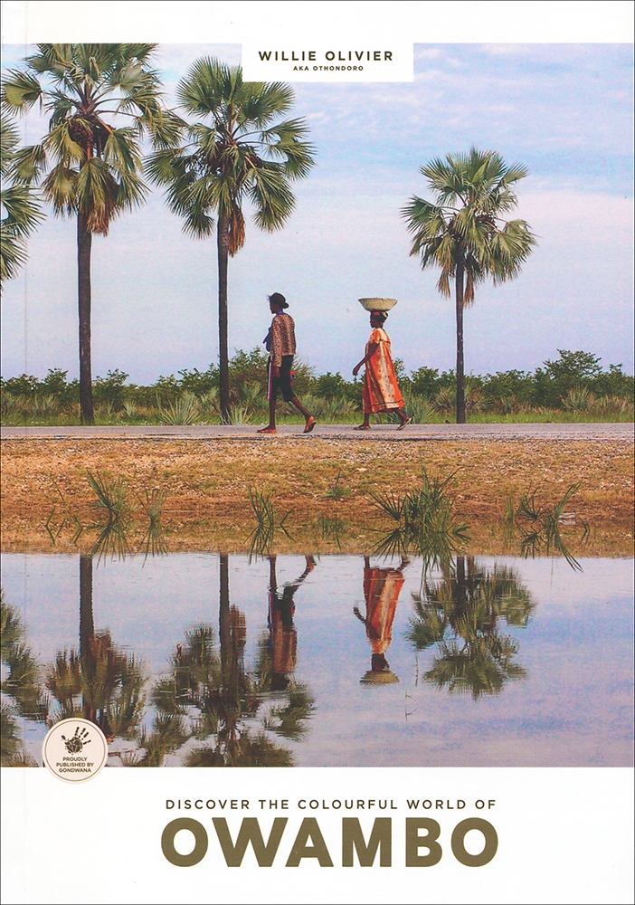
Discover the Colourful World of Owambo is a comprehensive guide to the North of Namibia.
Road Tripping Namibia (Mapstudio)
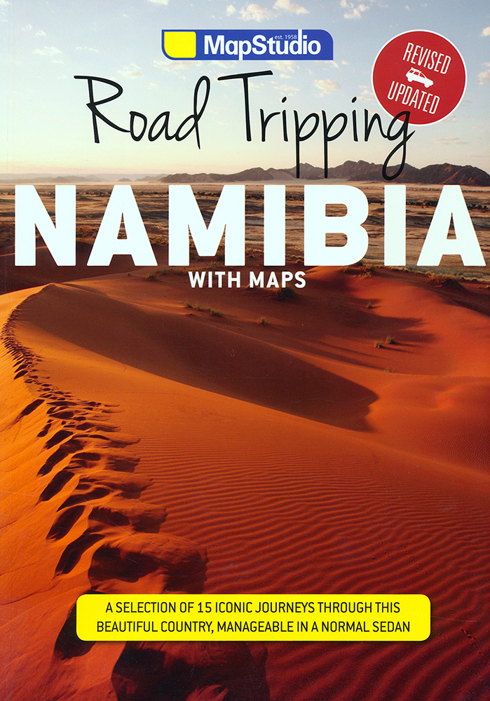
Road Tripping Namibia showcases a selection of 15 iconic road trips, all perfectly manageable in a normal car.
South Africa by road: A regional guide
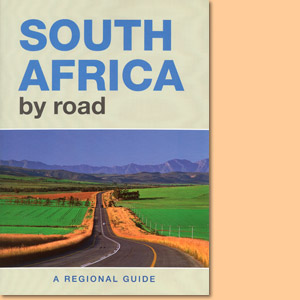
South Africa by Road: A Regional Guide is a comprehensive handbook to the country, giving insight into the many national treasures.
Touring in South Africa
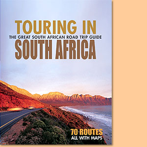
Touring in South Africa is a most interesting and colourful collection of circular and linear motoring tours.
The best of Namibia. Travel guide
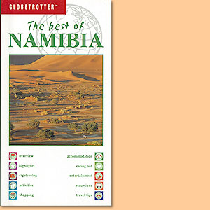
Good and compact Namibia travel guide to the best sites of Namibia.
Weitere Buchempfehlungen
Lesotho Road Map (Mapstudio)
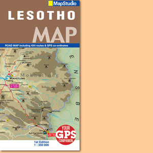
Die Karte Lesotho Road Map von MapStudio zeigt das im Osten von Südafrika gelegene Königreich Lesotho im Maßstab 1:350.000.
KwaZulu-Natal Road Map (MapStudio)
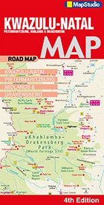
Straßenkarte KwaZulu-Natal Road Map 1:250 000 von MapStudio mit Pietermaritzburg, Midlands & Drakensberg.
Drakensberg Hiking Maps/Wanderkarten No. 1 - 6 / 1:50.000
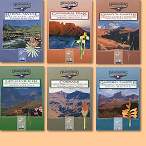
Hiking Map/Wanderkarte Ukhahlamba Drakensberg Park