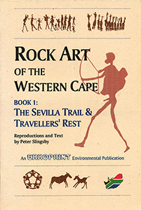
Rock Art of the Western Cape: The Sevilla Trail & Travellers Rest, by Peter Slingsby

Rock Art of the Western Cape: The Sevilla Trail & Travellers Rest, by Peter Slingsby. Ekkoprint, 2nd edition. Lake Side, South Africa 1996. ISBN 0620198109 / ISBN 0-620-19810-9
")
Image from Rock Art of the Western Cape: The Sevilla Trail & Travellers Rest (Peter Slingsby)
This excerpt from Peter Slingsby's guide to the Rock Art of the Western Cape (Book 1: The Sevilla Trail & Travellers Rest) decribes, among others, the Site Five of the Sevilla Trail.
Site Five is a long, shallow overhang, distinguished by an enormous and ancient Wild olive tree (Olea europaea subsp. africana) which stands in front of the "cave". The overhang is filled with a great variety of paintings, some exceptionally clear and others enigmatic and very faded. There are also paintings in several "secret" nooks and crannies, as well as on the roof. PLEASE DO NOT CLIMB UP ONTO THE LEDGES OR INTO THESE "NOOKS". IT IS IMPOSSIBLE TO DO SO WITHOUT STANDING ON OTHER PAINTINGS! This is one of those sites where the more you look around, the more you will find. It is also worth more than one visit, at different times of the day: faded paintings that may be all but invisible in the afternoon are quite clear in the morning! The longer you study the cracks and crevices and the sloping cave roof the more you will find: many eland and many pairs of legs where the bodies have faded; another large, half-finished gemsbok; a delightful line of women and girls who seem to be marching up a hollow in the rock. There are rows and rows of figures, many sadly too fade. When you have finished your study of these remarkable walls, turn your attention to the left-hand part of the cave. Your eye will immediately be caught by this f exceptionally clear and delightfully executed archer, shown with bowstring drawn back. The painting is a highlight of this site. Guy Midgeley has pointed out that the archer's bow is the arc of a perfect circle, centred on the archer's left shoulder. The bowstrings are of equal length; the archer's hands are perfectly placed on a radius of the circle. The artist not only understood the physics of the use of a bow, he/she must have used Euclidean geometric construction techniques to achieve this result. The sloping rock roof "panel" of paintings which includes the archer shows several interesting features. First of all, at least three "layers" of paintings are discernable. Some very faded human and animal paintings seem to be the oldest. Superimposed upon these are two typical figures where only the legs, bags and staves are still visible, and faces and "karosses", presumably originally painted in white, yellow or black, have faded out altogether. On the left is a figure that appears to be running away from the archer, above him and to his right are a few dancing or falling figures. Below the bottom left of the panel illustrated is a figure with a bleeding nose: a typical "trance figure". Below the bottom right is an intriguing, half-lost animal in white. Of great interest, however, are the figures immediately to the right and left of the archer. These appear to be incomplete pictures of archers, very similar in style to the character illustrated on the previous page. These two figures seem to show how the artist constructed his picture, starting with a shape with legs and adding other details to the torso, etc. [...]
This is an exxcerpt from the guide to the Rock Art of the Western Cape: The Sevilla Trail & Travellers Rest, by Peter Slingsby.
Title: Rock Art of the Western Cape
Subtitle: The Sevilla Trail & Travellers Rest
Author: Peter Slingsby
Series: Rock Art of the Western Cape, Book 1
Publisher: Ekkoprint
2nd edition. Lake Side, South Africa 1996
ISBN 0620198109 / ISBN 0-620-19810-9
Original softcover, 15 x 21 cm, 52 pages, throughout illustrations
Slingsby, Peter im Namibiana-Buchangebot
Rock Art of the Western Cape: The Sevilla Trail & Travellers Rest
Guides to the rock art of the Western Cape via Sevilla Trail and Traveller's Rest, comprehensive notes with accurate colour reproductions.
Slingsby's Simon’s Town Karte / map - Fish Hoek Kommetjie 1:20.000
Karte der Region Fish Hoek - Simon’s Town im Süden der Kaphalbinsel
Table Mountain Map/ Karte 1:20.000 (Slingsby's)
Einer der schönsten Tafelberg-Karten; one of the most attractive Tafelberg maps
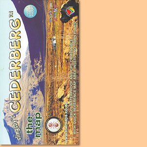
Cederberg Rock Art: Cederberg Conservancy and Eastern Koue Bokkeveld
Guide No 3 to the rock art of the Western Cape focusses on the Cederberg rock art, Cederberg Conservancy and Eastern Koue Bokkeveld.
Western Cape: Slingsby's walks with a fat dog and more walks without
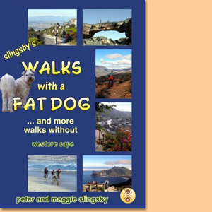
Western Cape: Slingsby's walks with a fat dog and more walks without consists of more than 60 descriptions of walks in the Western Cape, with 50 maps and over 500 photographs.
Beyond the Cederberg
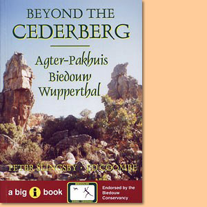
Beyond the Cederberg is a comprehensive guide to the Agter-Pakhuis area, its people, its facilities and its attractions for tourists.
Beard Shaver’s Bush. Place Names in the Cape
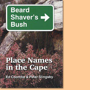
Beard Shaver’s Bush is a hilarious, informative and hugely entertaining guide to Place Names in the Cape.
Fynbos Road Karte/ Map. Explore the Agulhas Plain (Slingsby's)
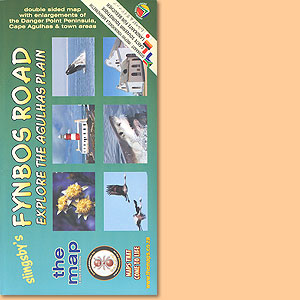
Developed with inputs from more than 40 prominent and knowledgable local residents
Garden Route Karte/ Map. Mossel Bay to Storms River (Slingsby's)
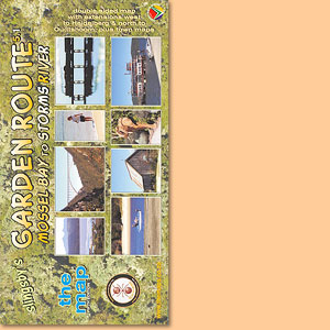
The new Fifth Edition continues the tradition, of accurate, comprehensive information
Bavianskloof Mega-Reserve Map/ Karte (Slingsby's)
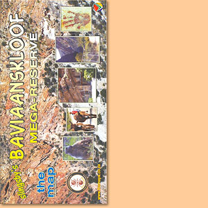
Most comprehensive, fully researched and detailed map of the Baviaanskloof
Cape Peninsula & Cape Town's Southern Suburbs Map/ Karte (Slingsby's)
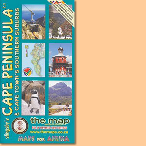
Slingsby's Cape Peninsula & Cape Town's Southern Suburbs Map also depicts informal settlement areas and a inset of Robben Island.
Overberg Whale Coast Map/ Karte. Hermanus, Cape Agulhas, Swellendam (Slingsby's)
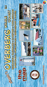
Dies ist Peter Slingsbys Overberg Whale Coast Map mit Unterkarten von. Hermanus, Cape Agulhas, Swellendam und zahlreichen anderen Orten der Region.
Cape Winelands Map/ Karte. Stellenbosch, Franschhoek, Helderberg (Slingsby's)
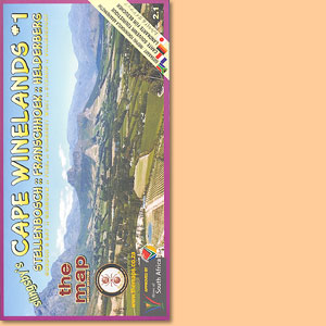
The first map in a series that will eventually detail all the winelands of the Cape
Day Drives From Cape Town Map/ Karte (Slingsby's)
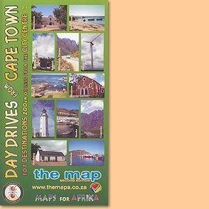
101 day drive destinations within a distance of max. 200 km from the city centre of Cape Town, a great Peter Slingsby map.
Wild Coast. East London, Port St Johns, Port Edward Map/ Karte (Slingsby's)
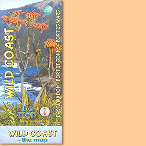
This map features the great 300km sweep of the Transkei Wild Coast, from East London to Port Edward.