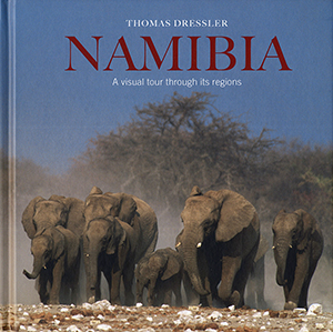
Namibia: A visual tour through its regions, by Thomas Dressler

Namibia: A visual tour through its regions, by Thomas Dressler. Jonathan Ball Publishers South Africa, 2010. ISBN 9781920289195 / ISBN 978-1-92028-919-5
In Thomas Dressler's photobook 'Namibia: A visual tour through its regions', a short introduction leads to a beautiful pictorial series of each of Namibias regions.
The far south of Namibia
The far south of Namibia stretches from the country's border with South Africa north to about the B4 highway linking Keetmanshoop in the interior with the coastal town of Luderitz, and is perhaps the most temperate region in the entire country. It is here that craggy rock faces and deep ravines are gently counterbalanced by sandy plains and the long, languid watercourses of the Fish River and its tributaries. It is here too that the Fish River carves its way deep into the rocky substrate as it winds its way to the ocean, through the iconic national treasure of the Fish River Canyon and beyond into the Ai-Ais/ Richtersveld Transfrontier National Park before it finally merges with the Orange River and spills into the Atlantic at Oranjemund. Tucked away in the sparse hinterland is Keetmanshoop, a quiet, laid-back town established in 1866 as a German mission station to convert the local Nama people to Christianity. On the outskirts of Keetmanshoop are two of the region's most recognisable landmarks: the impressive stands of quiver trees so iconic of the region and the scattering of bizarre rock formations that make up Giant's Playground. This arid landscape of shrubs and succulents is scattered with camelthorn trees, providing a haven for an assortment of wildlife. The cultural and socio-political centre of the Karas region is the harbour town of Luderitz on the rocky Atlantic seaboard. Although still relatively small, this port town has developed considerably since its inception as a colonial trading post in the 1880s, mostly as a result of the discovery of diamonds nearby in the early 1900s. The seascape around Luderitz is rugged and craggy, its cliffs and caverns chiselled by the ocean as it crashes and cuts into the rocky coast. Millennia of erosion have resulted in strange formations being carved out of the rock strata, none more spectacular than the Bogenfels Arch. The arch spans a particularly volatile stretch of the Atlantic coast south of Luderitz and the neighbouring towns of Kolmanskop and Elizabeth Bay, long deserted since diamond finds began to dwindle in the mid-twentieth century. At their peak, towns spawned by Namibia's diamond fields were said to be the among the world's wealthiest. Today there is little left.
The Kalahari
The Kalahari may not be a desert in the official sense of the word, but it is widely recognised as the largest continuous stretch of sand on the planet. Its vast, empty and dry plains are clearly visible even from space. Said to extend over 900000 square kilometres, it covers a huge tract of southern Africa, including parts of Namibia, South Africa and approximately 80 percent of neighbouring Botswana - even spilling over into parts of Angola, Zambia and Zimbabwe. This wide, open expanse - lashed by clouds of dust, pummelled by summer rains and schorched by an unforgiving sun - stretches from about the Orange River right up to more equatorial regions in the north. Set on a solid foundation consisting of shale, sandstone and, in parts, coal laid down a phenomenal 300 million years ago, this massive sand bowl is approximately 200 million years old. It was formed at the time that the Gondwana supercontinent started to disintegrate and reform to make up the landmasses we recognise today as those of the southern hemisphere. [...]
This is an excerpt from Namibia: A visual tour through its regions, by Thomas Dressler.
Title: Namibia
Subtitle: A visual tour through its regions
Author: Thomas Dressler
Genre: Photobook
Imprint: Sunbird Publishers
Publisher: Jonathan Ball Publishers South Africa
Johannesburg, South Africa 2010
ISBN 9781920289195 / ISBN 978-1-92028-919-5
Hardcover, 20 x 20 cm, 144 pages, 250 colour photographs
Dressler, Thomas im Namibiana-Buchangebot
Namibia. A visual tour through its regions
Namibia: A visual tour through its regions is an appealing, medium-sized photobook to the regions of Namibia.
Namibia: Reise in Bildern durch die Regionen

"Namibia: Reise in Bildern durch die Regionen" ist ein schöner, mittlelgroßer Namibia-Bildband.
Fotokalender Namibia (360°) 2024
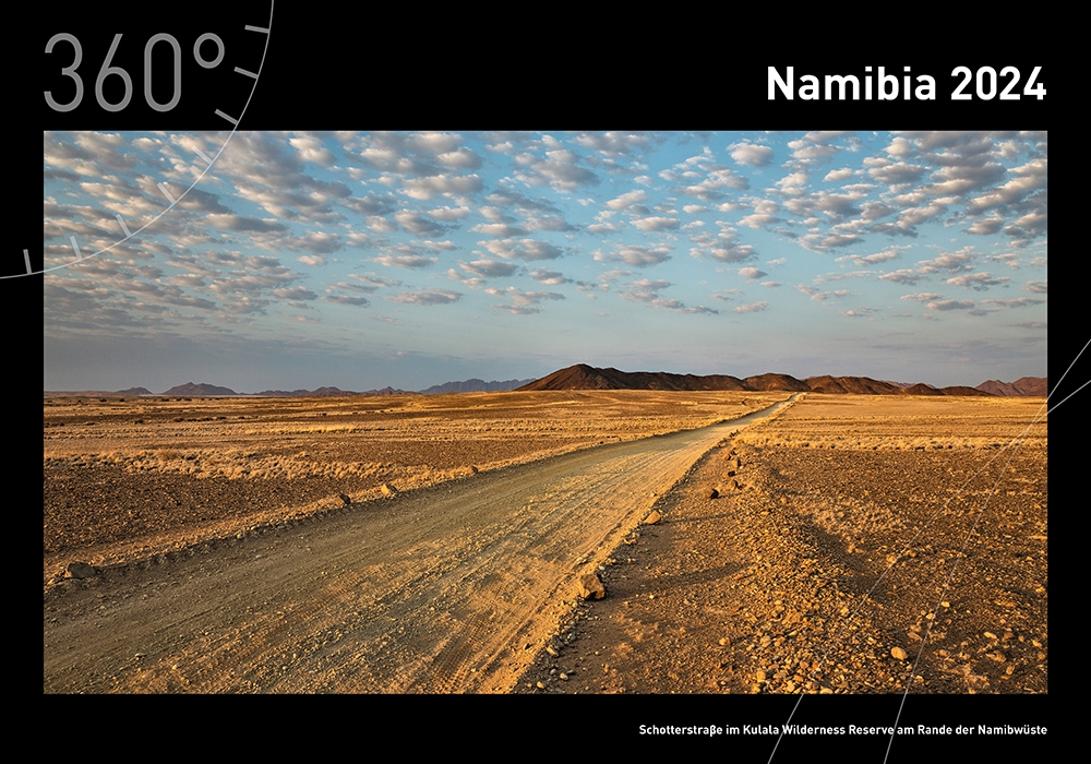
Fotokalender Namibia 2024: Ein hochwertiger Namibia-Fotokalender aus dem Verlag 360 grad medien.
Weitere Buchempfehlungen
South Africa: A visual tour through its regions
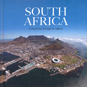
"South Africa: A visual tour through its regions" is a nicely made coffee-table book of a middle-sized scale.
14 Dry River Beds. A Guided Tour
14 dry river beds is a guided tour from Swakopmund to Windhoek, a visual record of myth and memory.
Ababis Gästefarm: LEKKER! Namibische Farmküche zum Kochen und Genießen

Ein neues Namibia-Kochbuch in deutscher Sprache und über Farm Ababis: LEKKER! Namibische Farmküche zum Kochen und Genießen.