A profile and atlas of the Cuvelai–Etosha basin, by John Mendelsohn et al.

A profile and atlas of the Cuvelai–Etosha Basin, by John Mendelsohn, Alice Jarvis and Tony Robertson. RAISON, Gondwana. Windhoek, Namibia 2013. ISBN 9789991678078 / ISBN 978-99916-780-7-8
Written by John Mendelsohn, Alice Jarvis and Tony Robertson, this profile and atlas of the Cuvelai–Etosha Basin was published for the Sustainable Integrated Water Resources Management Project in the Cuvelai-Etosha basin of the Namibian Ministry of Agriculture, Water & Forestry.
John Mendelsohn Tony Robertson Alice Jarvis
[...] In combination, several features set the Cuvelai Basin apart from all other drainage basins in the world, making the Cuvelai unique in the correct sense of the word. Its core drainage area consists of hundreds of channels (called iishana, singular oshana) that merge and diverge hundreds of times. Some water comes from narrow tributaries that drain the southern slopes of the Angolan planalto highlands, but most channels start and remain as broad courses from their headwaters all the way until they end in the Omadhiya Lakes north of the famous Etosha Pan. Most iishana are dry for much of the year. When flows do occur, they range between tiny trickles to broad fronts of floodwater. All the water gradually disappears: evaporating, being transpired by plants or seeping away into the ground. The Cuvelai has no outlet to the sea but when flows are strong some wafer may continue and fill Etosha Pan. Another special feature is the Cuvelai's position as a trans-boundary wetland shared almost equally in extent between Angola and Namibia. Compared to surrounding areas and much of southern Africa, the Cuvelai is home to a very large number of people, mainly because of the presence of shallow groundwater and relatively fertile soils in many areas. That has allowed the cultivation of crops as well as year-round access to fresh water for people and livestock for hundreds of years. There is also an extraordinary link between the Cuvelai and the Owambo (in Angola known as Ambo) people. The great majority of people in the Cuvelai are Owambo, and prior to recent migrations all Owambo people lived in the Cuvelai. Few other drainage basins are as intimately associated with a single group of people. The principal features of the Cuvelai Basin lying between the Kunene and Okavango Rivers in Angola. The convergence of iishana channels into the Omadhiya Lakes and then into Etosha Pan is clearly visible in this image, which also shows the Olushandja Dam, which was built to store water from the Kunene River. The grounds of the Ogongo Agricultural College protect a remnant patch of woodland that appears darker than the surrounding areas that have been deforested. A large expanse of sand dunes, visible as horizontal lines north of Oshivelo and Tsintsabis, was formed during much drier times tens of thousands of years ago. The dunes are now covered in trees. Elevations in the Cuvelai Basin between the Angolan plunnllo highlands in the north and an encircling margin of rocky hills to the south and west. Most of the Basin lies between 1,100 and 1,200 metres above sea level. It is also extremely flat, with little change in altitude or relief. For example, there is a drop of only 110 metres from the town ot Cuvelai to Oshakati, 230 kilometres to the south. That is a change ot less than one metre per kilometre. At about 1,085 metres above-sea level, Etosha Pan is the lowest point in the Basin. The Cuvelai Basin extends over 450 kilometres from north to south. The Basins widest point is along the Angola-Namibia border from the Kunene River east to the Okavango River. [...]
This is an excerpt from the book: A profile and atlas of the Cuvelai–Etosha Basin, by John Mendelsohn et al.
Title: A profile and atlas of the Cuvelai–Etosha Basin
Authors: John Mendelsohn; Alice Jarvis; Tony Robertson
Genre: Ecology, Environment
Publisher: RAISON (Research & Information Services of Namibia)
Publisher: Gondwana Collection
Windhoek, Namibia 2013
ISBN 9789991678078 / ISBN 978-99916-780-7-8
Softcover, 17 x 23 cm, 170 pages, numerous colour photos, maps, diagrams
Mendelsohn, John und Jarvis, Alice und Robertson, Tony im Namibiana-Buchangebot
Conservation Status and Red List of the terrestial Carnivores of Namibia
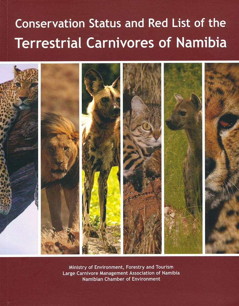
Conservation Status and Red List of the terrestial Carnivores of Namibia: the Namibian Carnivore Red Data Book.
Atlas of Namibia
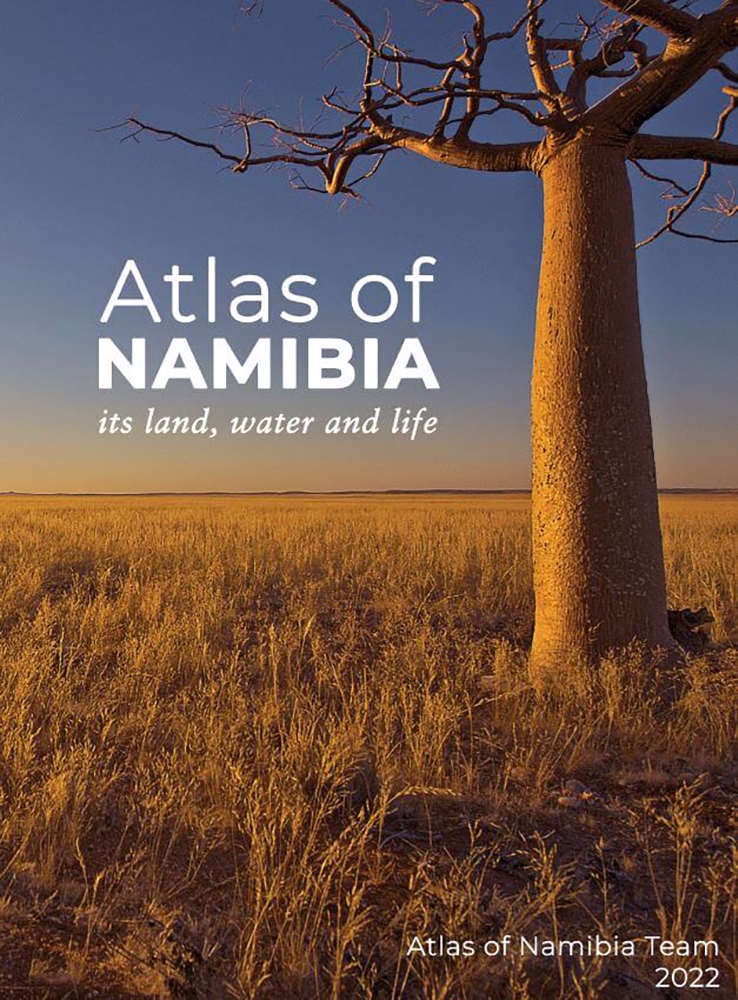
This is the third edition of the geographical profile and Atlas of Namibia since 1983. Don't miss your copy.
Forests and woodlands of Namibia
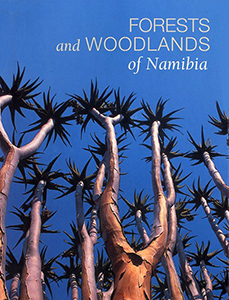
Photographic study of Namibia's forests and woodlands, with extensive information on distribution and commercial uses of each species.
Namibia’s Coast: Ocean riches and desert treasure
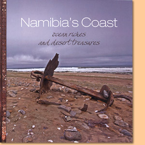
Namibia’s Coast: Ocean riches and desert treasure introduces the coast of Namibia in seven environmental chapters.
Atlas of Namibia
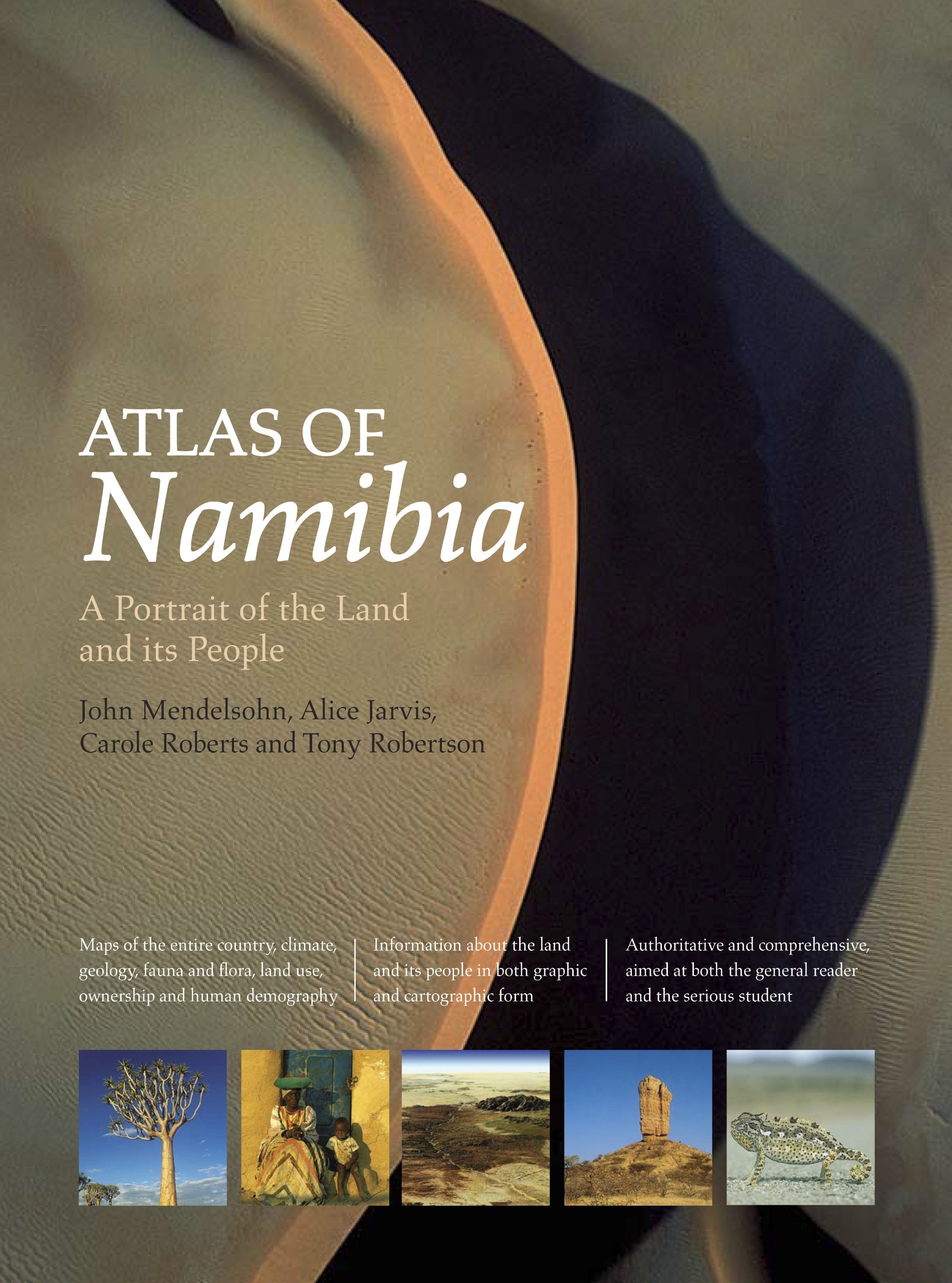
This authoritative Atlas of Namibia contains a wealth of information about the land and its people rendered in both graphic and cartographic portrait.
Okavango Delta. Floods of Life

'Okavango Delta: Floods of Life' describes the origins, functioning, life and people of this remarkable wetland in Botswana.
A profile and atlas of the Cuvelai-Etosha basin
This atlas describes the main features of the Namibian part of the basin and provides an overview of the entire profile Owambo or Cuvelai-Etosha Basin.