Peter Slingsby

Der Südafrikaner Peter Slingsby ist ein freiberuflicher Kartograph und Autor.
Der Südafrikaner Peter Slingsby ist ein freiberuflicher Kartograph und Autor.
Peter Slingsby, der sich seit 1972 einen Namen als Kartograph des South African National Hiking Way und der bekannten Drakensberg-Wanderkarten gemacht hat, ist Inhaber des Kartenverlages Slingsby Maps, den er zuvor unter der Bezeichnung Baardskeerder führte. Peter Slingsby vertritt die Philosophie, daß Karten klar, detailreich und präzise gezeichnet und mit einem Maximum sinnvoller Information ausgestattet sein sollen. Ferner hebt er hervor, daß nur ein ortsansässiger Kartograph über wirtschaftlich vertretbare Möglichkeiten verfügt, Fehler und Ungenauigkeiten vor Ort zu überprüfen und zu bereinigen. In einem damals populären Beispiel zeigte Peter Slingsby auf, wie die Ansiedlung Boksberg in Südafrika auf zahlreichen Karten jeweils (anders) falsch dargestellt wurde. Seine auf zahlreiche Regionen Südafrikas zugeschnittenen Karten stechen, im Vergleich zu anderen Kartenprodukten des Landes, mit einem hohen Anteil topographischer Information, aufwendiger Qualität in der Darstellung und hoher Informationsdichte jeglicher Art hervor. Peter Slingsby tritt zwar mit seinem hochwertigen Kartenprogramm nicht aus dem Schatten der südafrikanischen Marktführer heraus, hat sich jedoch eine auskömmliche Nische des regionalen Marktes gesichert. Peter Slingsby, der in der weitläufigen Ortsgeschichte seiner Heimat recht bewandert ist, hat einige Bücher über regionale Themen geschrieben. Mit seiner Frau Maggie Slingsby, mit der er drei erwachsene Kinder hat, lebt er bei Muizenberg an der Kaphalbinsel.
Literaturauszüge:
Slingsby, Peter im Namibiana-Buchangebot
Rock Art of the Western Cape: The Sevilla Trail & Travellers Rest
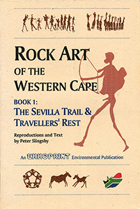
Guides to the rock art of the Western Cape via Sevilla Trail and Traveller's Rest, comprehensive notes with accurate colour reproductions.
Slingsby's Simon’s Town Karte / map - Fish Hoek Kommetjie 1:20.000
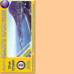
Karte der Region Fish Hoek - Simon’s Town im Süden der Kaphalbinsel
Table Mountain Map/ Karte 1:20.000 (Slingsby's)
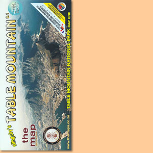
Einer der schönsten Tafelberg-Karten; one of the most attractive Tafelberg maps
Cederberg Rock Art: Cederberg Conservancy and Eastern Koue Bokkeveld
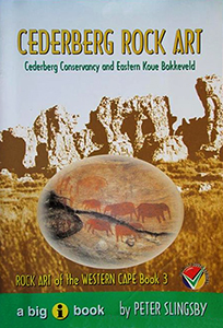
Guide No 3 to the rock art of the Western Cape focusses on the Cederberg rock art, Cederberg Conservancy and Eastern Koue Bokkeveld.
Western Cape: Slingsby's walks with a fat dog and more walks without
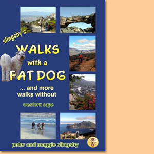
Western Cape: Slingsby's walks with a fat dog and more walks without consists of more than 60 descriptions of walks in the Western Cape, with 50 maps and over 500 photographs.
Beyond the Cederberg
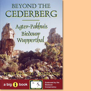
Beyond the Cederberg is a comprehensive guide to the Agter-Pakhuis area, its people, its facilities and its attractions for tourists.
Beard Shaver’s Bush. Place Names in the Cape
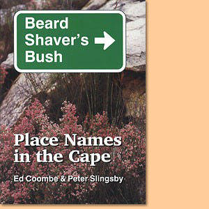
Beard Shaver’s Bush is a hilarious, informative and hugely entertaining guide to Place Names in the Cape.
Fynbos Road Karte/ Map. Explore the Agulhas Plain (Slingsby's)
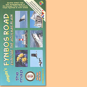
Developed with inputs from more than 40 prominent and knowledgable local residents
Garden Route Karte/ Map. Mossel Bay to Storms River (Slingsby's)
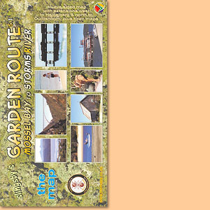
The new Fifth Edition continues the tradition, of accurate, comprehensive information
Bavianskloof Mega-Reserve Map/ Karte (Slingsby's)
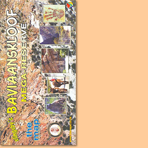
Most comprehensive, fully researched and detailed map of the Baviaanskloof
Cape Peninsula & Cape Town's Southern Suburbs Map/ Karte (Slingsby's)
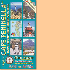
Slingsby's Cape Peninsula & Cape Town's Southern Suburbs Map also depicts informal settlement areas and a inset of Robben Island.
Overberg Whale Coast Map/ Karte. Hermanus, Cape Agulhas, Swellendam (Slingsby's)
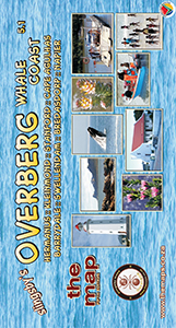
Dies ist Peter Slingsbys Overberg Whale Coast Map mit Unterkarten von. Hermanus, Cape Agulhas, Swellendam und zahlreichen anderen Orten der Region.
Cape Winelands Map/ Karte. Stellenbosch, Franschhoek, Helderberg (Slingsby's)
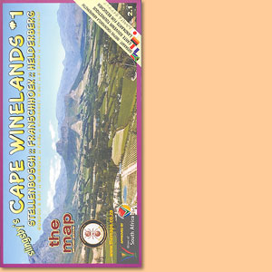
The first map in a series that will eventually detail all the winelands of the Cape
Day Drives From Cape Town Map/ Karte (Slingsby's)
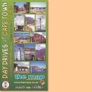
101 day drive destinations within a distance of max. 200 km from the city centre of Cape Town, a great Peter Slingsby map.
Wild Coast. East London, Port St Johns, Port Edward Map/ Karte (Slingsby's)
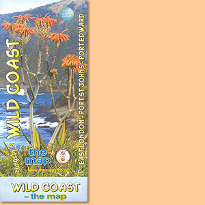
This map features the great 300km sweep of the Transkei Wild Coast, from East London to Port Edward.