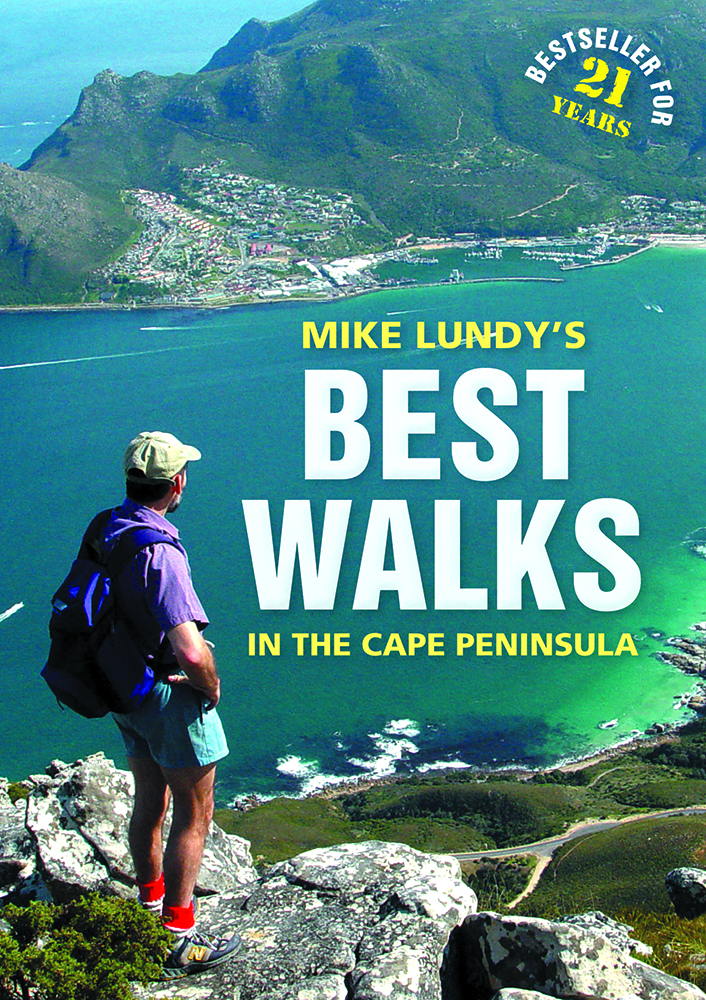
Mike Lundy's Best Walks in the Cape Peninsula, by Mike Lundy

Mike Lundy's Best Walks in the Cape Peninsula, by Mike Lundy. Struik Travel & Heritage / Random House Struik; 8th edition, Cape Town, South Africa 2013; ISBN 9781920545666 / ISBN 978-1-920545-66-6
Each of the 30 walks in Mike Lundy's Best Walks in the Cape Peninsula has been carefully chosen because of a particular point of interest, be it a waterfall, cave, indigenous forest, shipwreck or spectacular viewpoint.
From Hout Bay: Skyline Path
Time: 7 hours (escape route 5,5 hours, requiring extra car)
Grade: 4C
Start: 34°03'18.83"S 18°21'53.89"E
Water: Available
I call it the Skyline Path simply because the most spectacular section of this challenging walk is along the skyline, as seen from Hout Bay harbour. And you won't believe it's possible, until you've done it! The route returns along the base of the same cliffs, to complete an amazing circuit. There are many points on this walk from which you will marvel at the exquisite beauty of what must surely be South Africa's most picture-postcard bay. If you're up to a 4C grading and 7 hours, this is a 'must do'. Start at the East Fort on Chapman's Peak Drive, exactly 1km from the Chapman's Peak Hotel (opposite the beach). There are two parking areas: one on the seaward side, and another on the mountainside of the road, about 100m further on. Whichever of the two parking spots you choose, make your way to just above the fort ruins, to a point where a concrete strip road ends and becomes gravel. Here you will find some well-constructed stone steps, going directly up the slope. Just 2 minutes' climb up these steps will bring you to another gravel road (or rather what used to be a gravel road, serving a long-gone pine plantation). Now it is irritatingly punctuated with excessively large humps, supposedly to prevent erosion. Follow this undulating gravel track to a point where it doubles back on itself. Now turning your back on Hout Bay, continue along the 'road' for about another 8 minutes until it narrows to a path. (Ignore the path going up to the left after 3 minutes.) Ten minutes after narrowing to a path, notice Red Bank on your left - a fascinating 5m-high wall of sedimentary layers depicting a history book of the planet, recorded millions of years ago. Soon you will be led around the next corner into the densely wooded Blackburn Ravine and eventually, after a short climb, to a small weir damming up the river. This little weir, at the top of some wooden steps, is a welcome rest stop and used to serve as the water supply for the foresters' cottage next to East Fort. It is also the point to which you will return, after completing the circuit. The elderly tree providing welcome shade at the weir is a rooiels, or red alder. Its common name is much more descriptive - butterspoon tree - so named from the 'butterspoons' at the growing tip of each branch. Check them out and you'll never forget it. There are two paths that continue on from the weir. The path going up the slope on the other side of the stream is your return route. You need to go a couple of metres back and up the left bank (Hout Bay side) of the stream. Some 50m upstream from the weir, the route crosses the river (marked by cairns) and now the uphill climb begins. But fear not: although the slope is much steeper than thus far, the path isn't, as it zigzags its way up, keeping the gradient to a manageable level. [...]
This is an excerpt from the guide: Mike Lundy's Best Walks in the Cape Peninsula, by Mike Lundy.
Book title: Mike Lundy's Best Walks in the Cape Peninsula
Author: Mike Lundy
Publisher: Struik Travel & Heritage / Random House Struik
8th edition, Cape Town, South Africa 2013
ISBN 9781920545666 / ISBN 978-1-920545-66-6
Softcover, 21x15 cm, 144 pages, illustrations and maps
Lundy, Mike im Namibiana-Buchangebot
Mike Lundy's Best Walks in the Cape Peninsula
These are 30 best walks and hiking routes in the Cape Peninsula to particular points of interest, tested and described by Mike Lundy.
Weitere Buchempfehlungen
Walking Safaris of South Africa

Walking Safaris of South Africa: Guided walks and trails in national parks and game reserves.
Family Walks in Cape Town
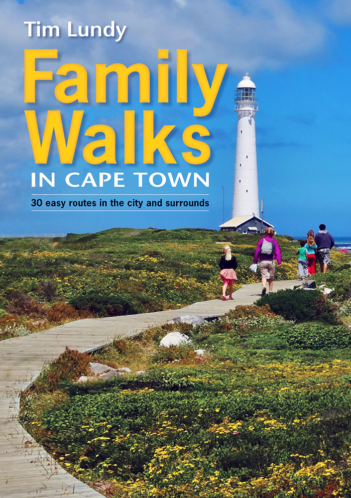
Family Walks in Cape Town offers 30 short walks in the Peninsula, grouped into the areas of Central Cape Town, Atlantic Seaboard, Southern Peninsula, Southern Suburbs and Northern Suburbs.
Map Guide Lion's Head in Cape Town, South Africa
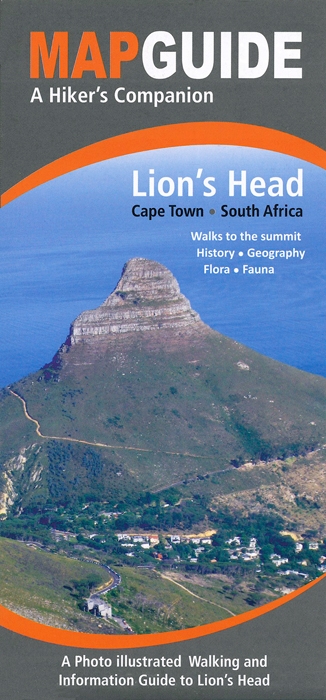
The Map Guide to Lion's Head in Cape Town, South Africa, offers compact yet specifically edited and photographically illustrated information alongside with maps and photos.
Map Guide Table Mountain in Cape Town, South Africa
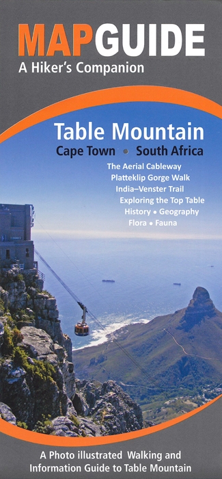
The Map Guide to Table Mountain in Cape Town, South Africa, offers compact yet specifically edited and photographically illustrated information alongside with maps and photos.
Cape Town & Surrounding Attractions Road Map (MapStudio)
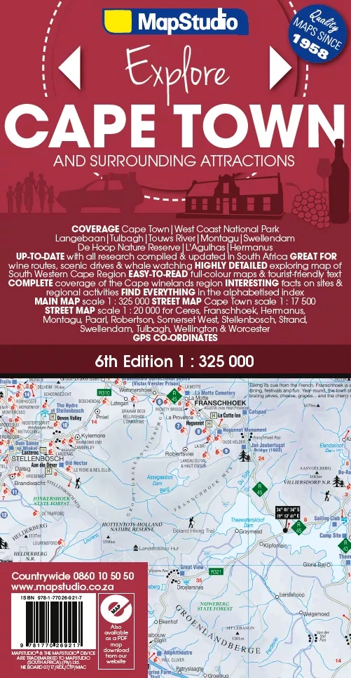
Mit der Cape Town & Surrounding Attractions Road Map bietet MapStudio eine regionale Themenkarte an, die zu zahllosen Sehenswürdigkeiten und Ausflugszielen in und um Kapstadt führt.