Beard Shaver’s Bush. Place Names in the Cape, by Peter Slingsby and Ed Coombe

Beard Shaver’s Bush. Place Names in the Cape, by Peter Slingsby and Ed Coombe. ISBN 062024965X / ISBN 0-620-24965-X
Beard Shaver’s Bush: Place Names in the Cape by Ed Coombe and Peter Slingsby lists the origins, meanings and pronunciation of nearly 2000 Western Cape place names.
Beard Shaver’s Bush is a hilarious, informative and hugely entertaining guide to Place Names in the Cape Beard Shaver’s Bush: Place Names in the Cape. Welcome to the Fairest Cape in all the Circumference of the Earth. To many South Africans this small paradise-on-earth is simply the Cape, die Kaap or iKoloni... but to our many visitors it can be a confusing place where a multiplicity of peoples have left their languages in its place names and features. The idea for this book grew from a suggestion by John Beazley of Uttoxeter, UK, who visited the Cape in 1999, that there was a need for a glossary to help visitors pronounce and understand Cape place names. We soon realised that there was little collected information about these names. We found that no book about Cape place names had been published since 1926 - so, for visitors, we hope that this book will help you to understand and even pronounce our place names, and so to feel more at home in this "Tavern of the Seas". To our fellow residents, we hope that this may become a valuable resource for anyone fascinated by the romance of place names, for officialdom, and for the tourist industry. Here are many names of great beauty, of mystery, of hope, of tragedy, reflecting the history and aspirations of half a millennium of written history. Ours is one of the most-named Capes in the world ... a 1306 map shows the correct shape of Africa, with our Cape marked as Cabo di Diab [Devil's Cape]. In his chart of 1457 Fra Mauro also notes that name. Then in 1488 Bartholomew Diaz, the first Portuguese explorer to round the Cape, called it Cabo de Boa Esperanza, the Cape of Good Hope. Some called it Cabo Tormentosa [the Cape of Storms], but the Cape of Good Hope persisted, and the Dutch translated that to Kaap de Goede Hoop [in Afrikaans: Kaap de Goeie Hoop]. But most of us just call it the Cape. There are literally thousands more names in the Cape than are gathered here. We would need several books to accommodate the countless street names, farm names, and names of small streams, hills, bays and anglers' rocks in this province. If we have left out any really important place, please let us know. Gathering names and finding their origins is a hazardous undertaking, not least for the danger of offending local inhabitants who know better than we do! So, please don't hesitate to contact us at one of the addresses below if you have any suggestions for additions and corrections where our research may have failed us. [...]
This is an excerpt from the guide: Beard Shaver’s Bush. Place Names in the Cape, by Peter Slingsby and Ed Coombe.
Book title: Beard Shaver’s Bush. Place Names in the Cape
Authors: Peter Slingsby; Ed Coombe
Publisher: Baardskeerder cc
ISBN 062024965X / ISBN 0-620-24965-X
Cape Town, South Africa 2000
Softcover, 15x21 cm, 138 pages, bw-sketches
Slingsby, Peter und Coombe, Ed im Namibiana-Buchangebot
Beard Shaver’s Bush. Place Names in the Cape
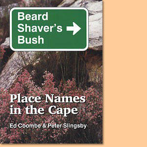
Beard Shaver’s Bush is a hilarious, informative and hugely entertaining guide to Place Names in the Cape.
Rock Art of the Western Cape: The Sevilla Trail & Travellers Rest
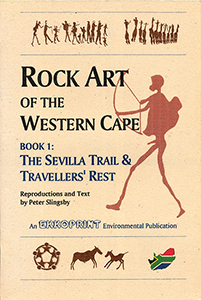
Guides to the rock art of the Western Cape via Sevilla Trail and Traveller's Rest, comprehensive notes with accurate colour reproductions.
Slingsby's Simon’s Town Karte / map - Fish Hoek Kommetjie 1:20.000
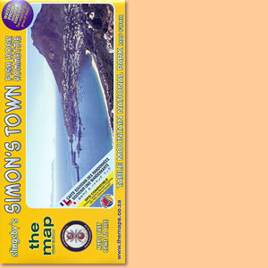
Karte der Region Fish Hoek - Simon’s Town im Süden der Kaphalbinsel
Table Mountain Map/ Karte 1:20.000 (Slingsby's)
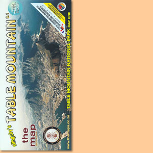
Einer der schönsten Tafelberg-Karten; one of the most attractive Tafelberg maps
Cederberg Rock Art: Cederberg Conservancy and Eastern Koue Bokkeveld
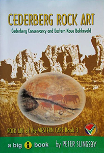
Guide No 3 to the rock art of the Western Cape focusses on the Cederberg rock art, Cederberg Conservancy and Eastern Koue Bokkeveld.
Western Cape: Slingsby's walks with a fat dog and more walks without
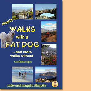
Western Cape: Slingsby's walks with a fat dog and more walks without consists of more than 60 descriptions of walks in the Western Cape, with 50 maps and over 500 photographs.
Fynbos Road Karte/ Map. Explore the Agulhas Plain (Slingsby's)
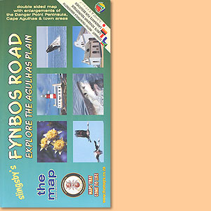
Developed with inputs from more than 40 prominent and knowledgable local residents
Garden Route Karte/ Map. Mossel Bay to Storms River (Slingsby's)
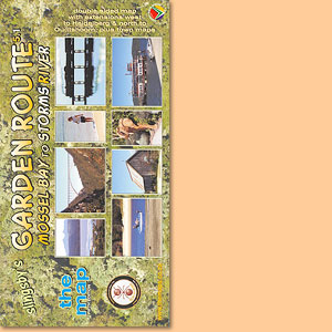
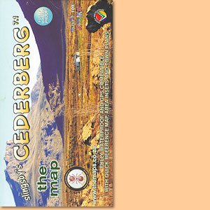
The new Fifth Edition continues the tradition, of accurate, comprehensive information
Bavianskloof Mega-Reserve Map/ Karte (Slingsby's)
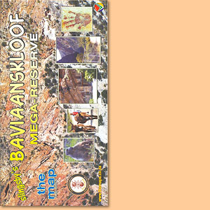
Most comprehensive, fully researched and detailed map of the Baviaanskloof
Cape Peninsula & Cape Town's Southern Suburbs Map/ Karte (Slingsby's)
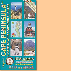
Slingsby's Cape Peninsula & Cape Town's Southern Suburbs Map also depicts informal settlement areas and a inset of Robben Island.
Overberg Whale Coast Map/ Karte. Hermanus, Cape Agulhas, Swellendam (Slingsby's)
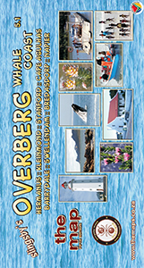
Dies ist Peter Slingsbys Overberg Whale Coast Map mit Unterkarten von. Hermanus, Cape Agulhas, Swellendam und zahlreichen anderen Orten der Region.
Cape Winelands Map/ Karte. Stellenbosch, Franschhoek, Helderberg (Slingsby's)
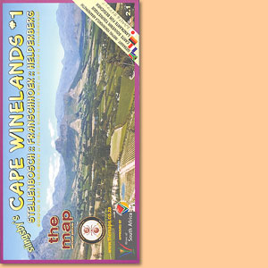
The first map in a series that will eventually detail all the winelands of the Cape
Day Drives From Cape Town Map/ Karte (Slingsby's)
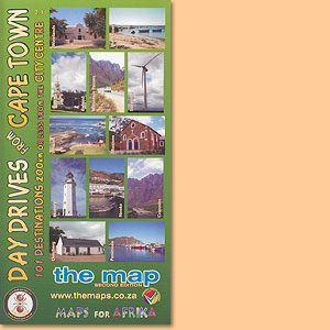
101 day drive destinations within a distance of max. 200 km from the city centre of Cape Town, a great Peter Slingsby map.
Wild Coast. East London, Port St Johns, Port Edward Map/ Karte (Slingsby's)
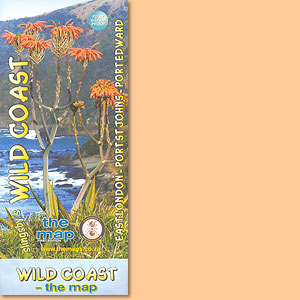
This map features the great 300km sweep of the Transkei Wild Coast, from East London to Port Edward.
Beyond the Cederberg
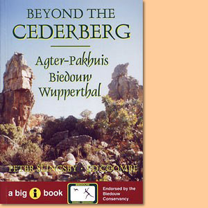
Beyond the Cederberg is a comprehensive guide to the Agter-Pakhuis area, its people, its facilities and its attractions for tourists.