African Adventurer’s Guide: Botswana. How to use this guide, by Mike Main

African Adventurer’s Guide: Botswana. How to use this guide, by Mike Main.
How to use the African Adventurer’s Guide is explained by author Mike Main who is one of the most experienced authorities in terms of travelling Botswana.
The book is divided into four parts. The first is an introduction to the country and its people. While it highlights all the reasons why you should visit Botswana, it also deals with the logistics of getting to and travelling inside the country. The second part, in seven chapters, describes regional destinations and places of interest. Symbols in the margins denote the different attractions and activities available at each destination, such as birding, hiking or game viewing. (See the front cover flap for a key to the symbols.) In addition, noteworthy and interesting aspects are presented in boxes and sidebars. Detailed directions on how to reach each destination, supported by cross-references to one or more of the 47 maps included at the back of the book, are provided. If a destination is on or served by a main road, generally no map is provided since these are widely available. The third part of the book describes places to stay, from simple campsites to five-star hotels, and the fourth lists useful contact details.
MAPS OF ROUTES AND TOWNS
This edition of African Adventurer's Guide: Botswana includes GPS (Global Positioning System) reference points and route maps. It is important to be quite clear about the role of the maps. I assume that those who use this book will either be well acquainted with Botswana's main road network or will have with them a standard national road map of some sort. For this reason, few of the main roads are included on the maps. Most of the maps are of remote, off-road parts of the country that do not normally appear in ordinary maps, or at least not in sufficient detail. Our maps are mostly schematic, and they are not to scale. North is always shown, but it does not always point to the top of the page, as is the usual convention, because the route needs to fit neatly into the page shape and size. The maps have been tested by a number of travellers, who have found them quite satisfactory, and I believe and trust that you will have no difficulty using them either.
DISTANCES AND TIMES
Times and distances given in the text are only approximate - and cannot be otherwise. I have driven one route in two hours and a year later have taken 4.5 hours over the same journey. Many variables affect one's time over a given distance of sand or dirt road. Is it wet or dry? What season is it? Is it morning or night, when the sand is cool and firm, or 3 p.m., when it is hot and loose? What was the wheel-track width of the last vehicle before you to travel along a sandy road? Are you heavily laden or carrying a light load? Did you stop on your journey for a break? Everything makes a difference. Once, driving to Xade in the Central Kalahari Game Reserve, I followed some wide-track four-wheel-drive water tankers. They had so churned up the road that what should have taken five or six hours took nearly two days! Time estimates given in the text are what I think ordinary drivers will take if they are not in a frantic hurry and conditions are pretty much like they were when I last went that way.
Distances are also something of a problem. Variations occur in the maps appearing in different publications, official and otherwise, and the numbers don't always match the distance on your odometer. I have come to learn that a bit of wheel-spin here and there does not seem to make a great deal of difference over long journeys. Variation in odometers themselves is a much more significant contributing factor. A 1.0 or 1.5 per cent error does not sound like much, but wait until you are lost and that vital turn-off does not appear after two, three, five ... kilometres! Thanks to modern GPS technology, I have also discovered that my speedometer consistently reads about 9.0-10.0 per cent too high, and that others seem to have the same built-in error. I believe that tyre pressure, air temperature, road conditions and equipment error all contribute to differences in distance covered. I have checked all the data included here as carefully as I can. There are, so far as I know, no major errors (but bear in mind that bush tracks are constantly changing).
This is an excerpt from the book: African Adventurer’s Guide: Botswana, by Mike Main.
Title: African Adventurer’s Guide: Botswana
Authors: Mike Main
Publisher: Random House Struik
Imprint: Travel and Heritage
Cape Town, South Africa 2010
ISBN 9781770078857 / ISBN 978-1-77007-885-7
Softcover, 14x21 cm, 304 pages, throughout colour photos
Main, Mike im Namibiana-Buchangebot
African Adventurer’s Guide: Botswana
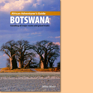
African Adventurer’s Guide: Botswana is a comprehensive handbook for anyone considering a journey through this magnificent country.
Exploring the Kalahari. DVD Film
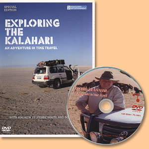
Exploring the Kalahari ist ein hochinteressanter Film auf DVD über schwer zu erreichende Reiseziele in der Süd-Kalahari.
Picturesque Botswana
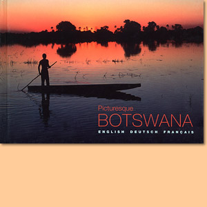
Picturesque Botswana ist ein ansprechend gemachter, handlicher Bildband in Deutsch, Englisch und Französisch.
Kalahari. Life's variety in dune and delta
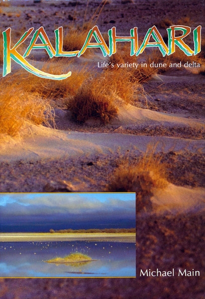
The region study Kalahari beautifully describes and displays fife's variety in Botswana's dunes and delta.
Zambezi. Journey of a river
Wonderfully written impressions and stories of a journey along the Zambezi River.
Weitere Buchempfehlungen
The Shell Tourist Map of Botswana
Die Shell Tourist Map of Botswana ist eine über viele Jahre ausgreifte, sehr zuverlässige Karte für den Urlaub in Botswana.